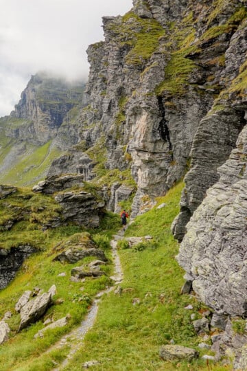
Schabziger Höhenweg: Everything You Need to Know
The Schabziger Höhenweg (Schabziger Mountain Trail) is a themed trail in a beautiful natural setting in the canton of Glarus (Glarnerland). The themed aspect of the one-way trail ensures a unique hiking experience. Yet, you'll still enjoy the fantastic far-reaching mountain views typical of a Swiss Alpine hike.
In this guide, we'll provide first-hand insight into doing the Schabziger Höhenweg. By the end of this guide, you'll know everything you need to walk this themed trail.
Table of Contents
What Is the Schabziger Höhenweg?
So, what exactly is the Schabziger Höhenweg?
Schabziger (AKA Glarner Schabziger) is a traditional, clover-infused green herb cheese from the canton of Glarus. It's one of the world's oldest branded products.
Höhenweg translates to Mountain Trail. Essentially, the Schabziger Höhenweg is a themed trail with 10 information boards (in German) that explain the cheese's history, production and marketing.
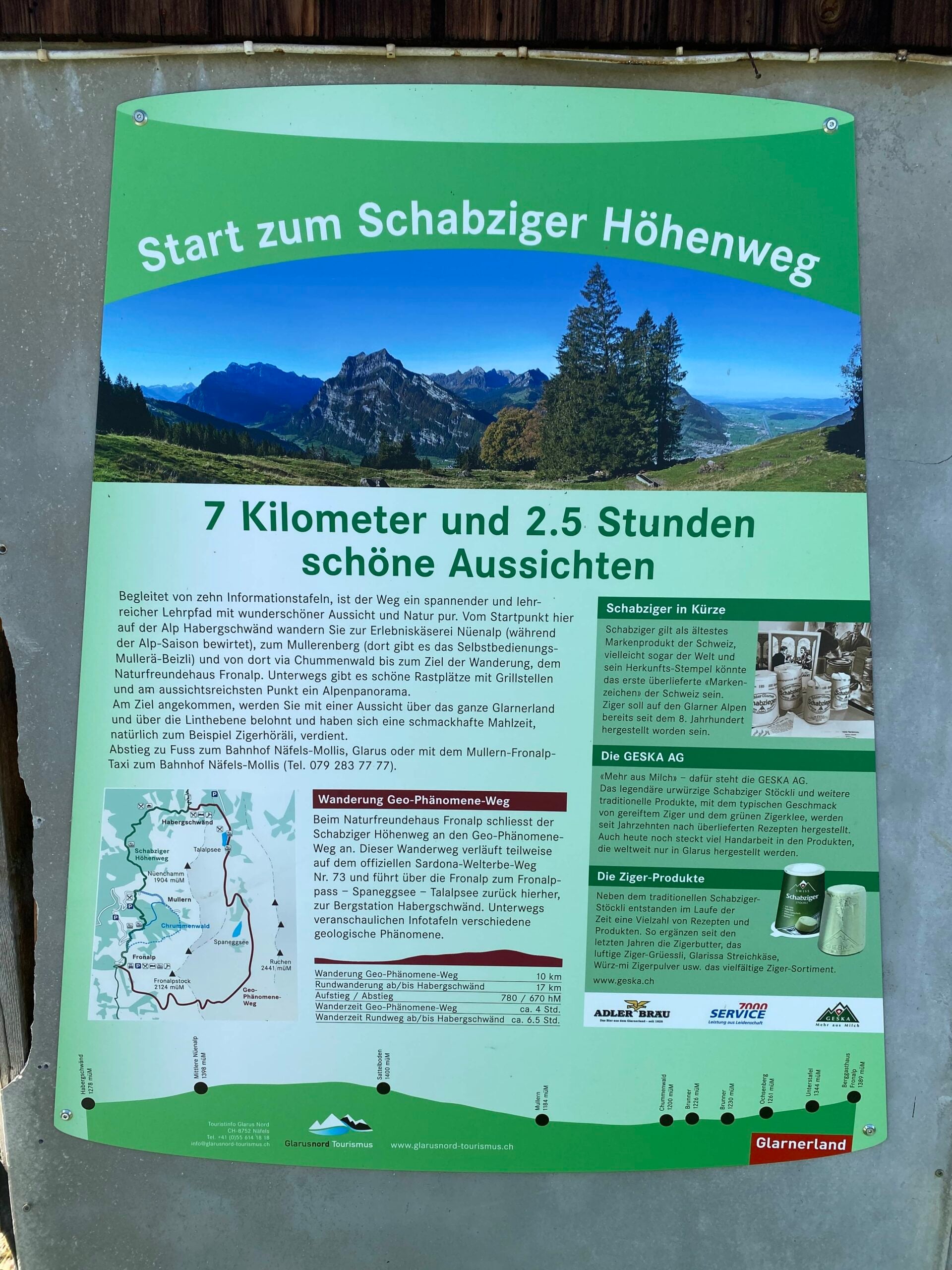
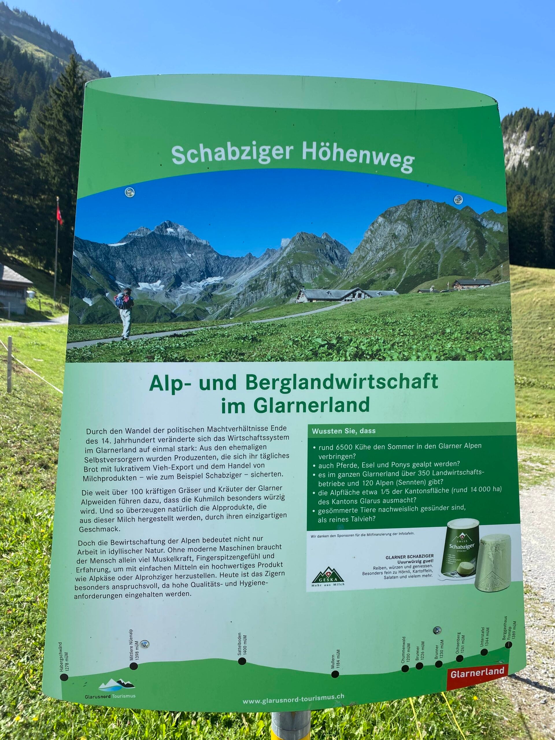
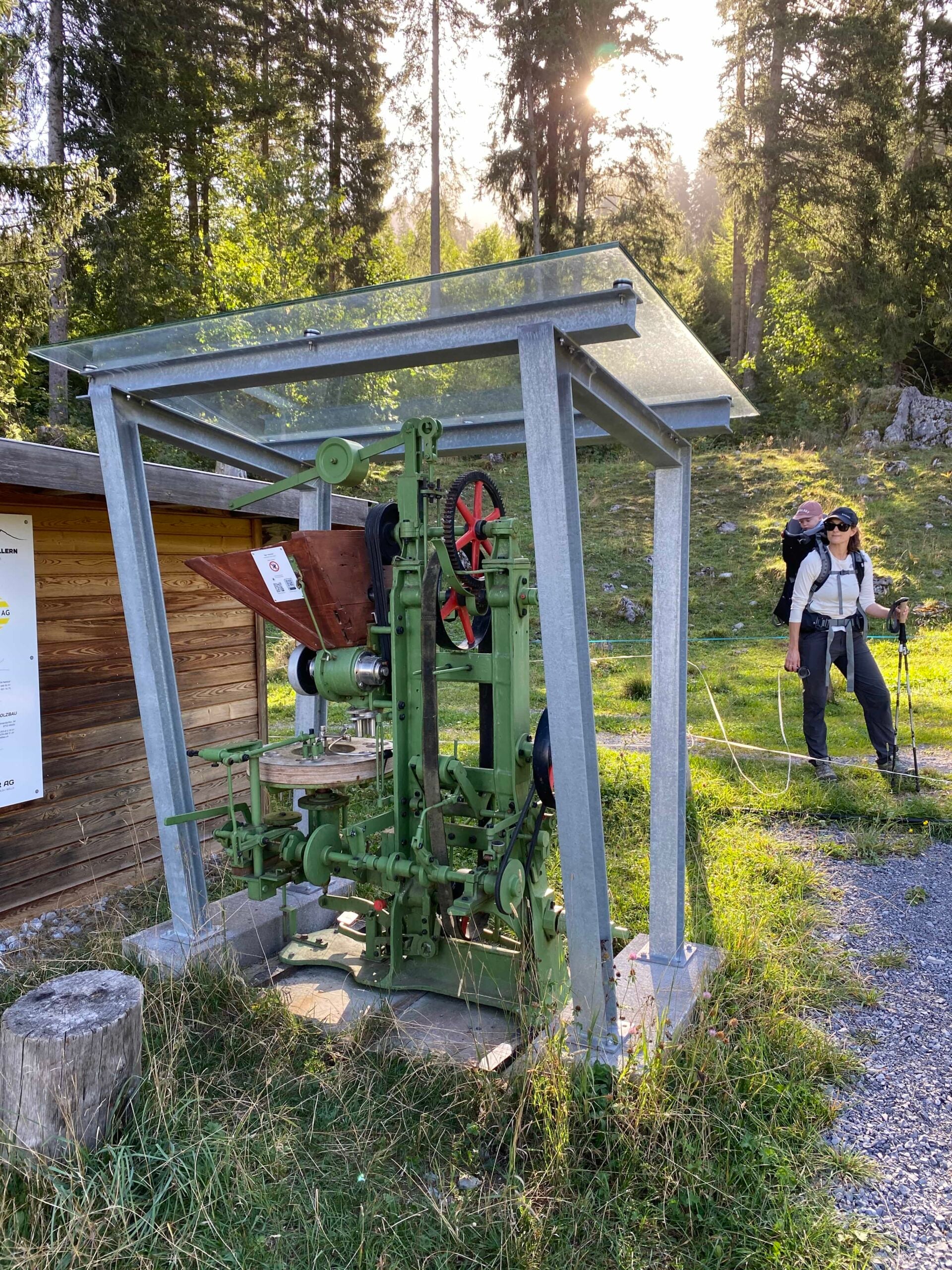
In addition to information panels, the trail features traditional cheese-production machinery. You'll also pass farmhouses where this traditional cheese was made, and still is.
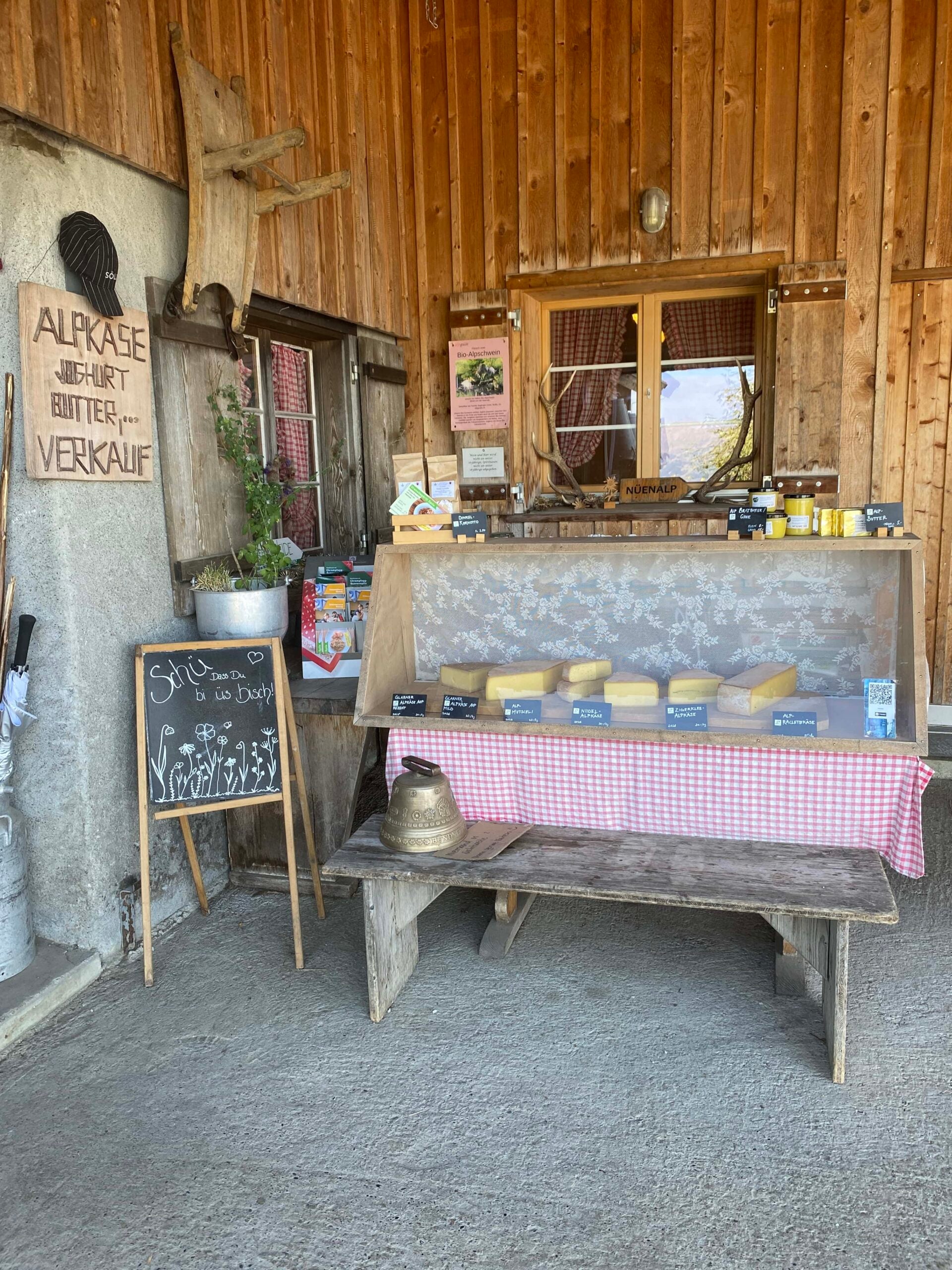
Cheese aside, this hike explores the gorgeous mountains of Glarnerland. So, if you're not that fussed about Schabziger, this trail still offers enough natural beauty to justify the hike.
Truth be told, we weren't overly fussed about the trail's themed element. But we were looking for a relatively easy hike to do with our then seven month old boy that wasn't too far from where we were staying (Filzbach). Schabziger Höhenweg certainly ticked those boxes!
The themed aspects of the hike make up only a small part of the overall experience. You can certainly ignore the panels (if you wish) and still complete the hike for nature's sake.
Whether you're in it for the history, the nature, or both, check out the hike's specs below!
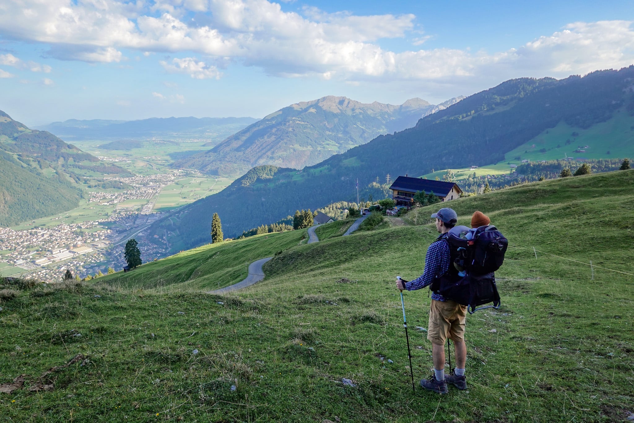
Trail Specs
- Type: One-way
- Distance: 7.4km
- Time: 2.5–3 hours
- Accumulated elevation gain/loss: 350m
- Trailhead: Habergschwänd (or Naturfreundehaus Fronalp)
- Difficulty: Easy
- Map: AllTrails
Regarding the trailhead, the typical route is to hike south from Habergschwänd to Naturfreundehaus Fronalp. But given it's a one-way trail, you can start at either end.
Travel Insurance

Don't leave for your trip without booking travel insurance. We all know accidents can happen and having Heymondo travel insurance could save you thousands of dollars if something goes wrong. Click the button below to receive a 5% discount!
Schabziger Höhenweg Map
Beck and I used this AllTrails map to help us navigate the route. The hike is officially route number 822. You'll see signposts reflecting this along the trail to help you navigate.
Schabziger Höhenweg: Our Experience
This was the final hike that Beck and I did on our enjoyable Glarnerland hiking trip. As mentioned, our then seven month old boy joined us for this final adventure.
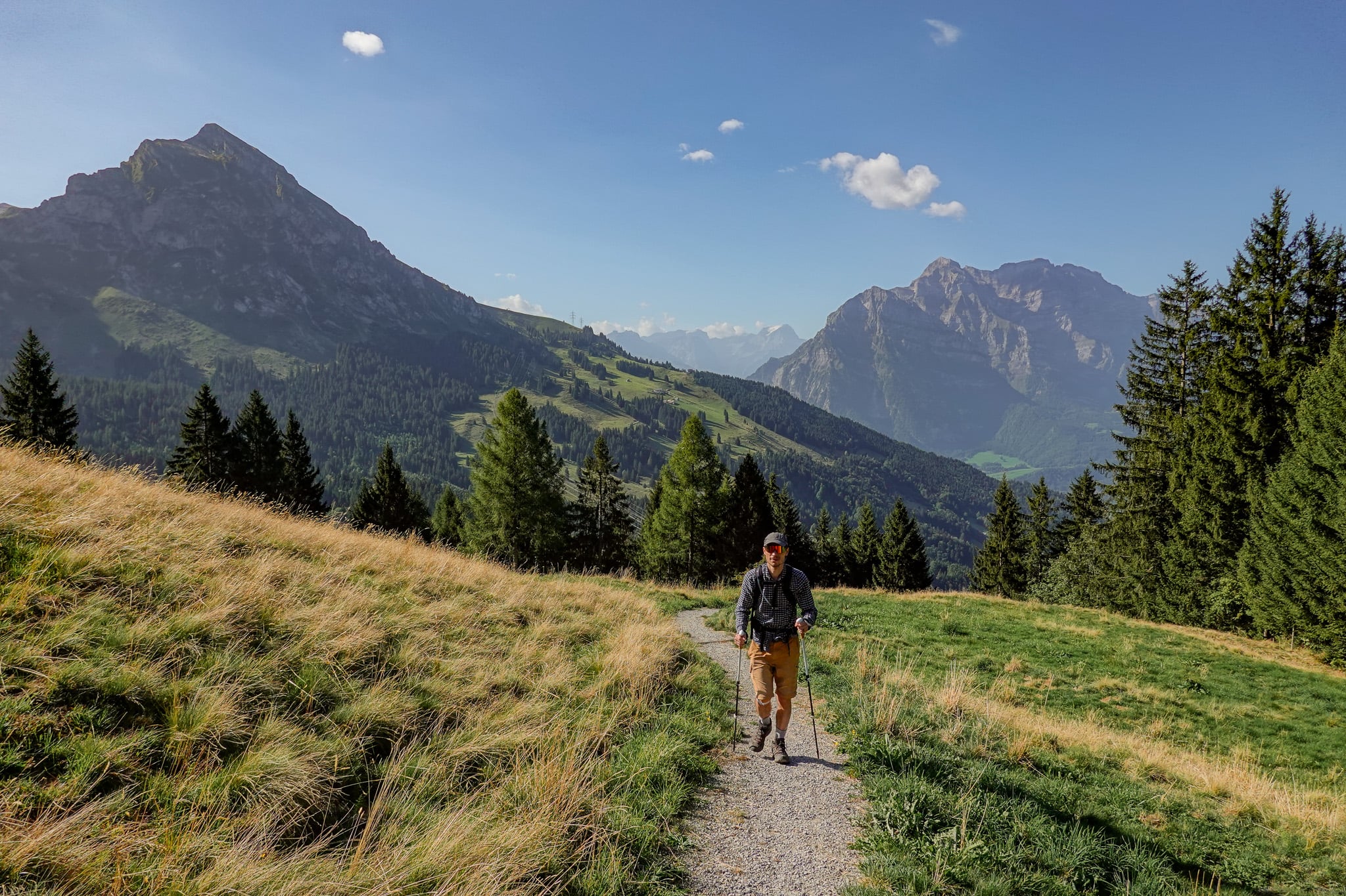
Overall, we really enjoyed this hike. We found the historical-themed element interesting but were really there for mouthwatering Alpine views. In that regard, this hike didn't disappoint. We were blessed with sunny weather, which made the hike even more enjoyable.
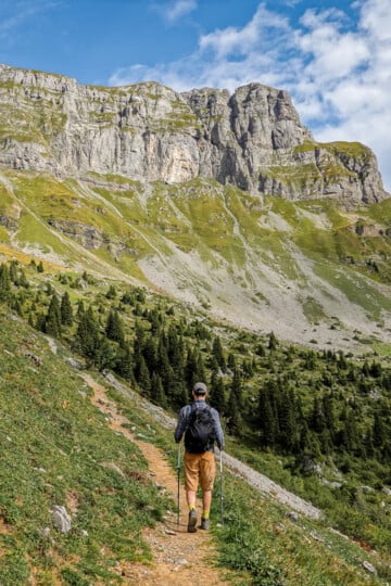
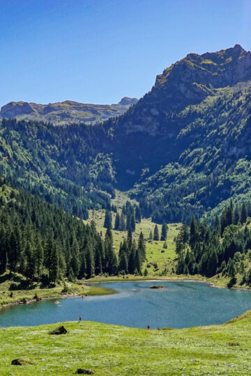
Below, we'll briefly run through the highlights of Schabziger Höhenweg, focusing on the nature side of things, displaying some photos en route.
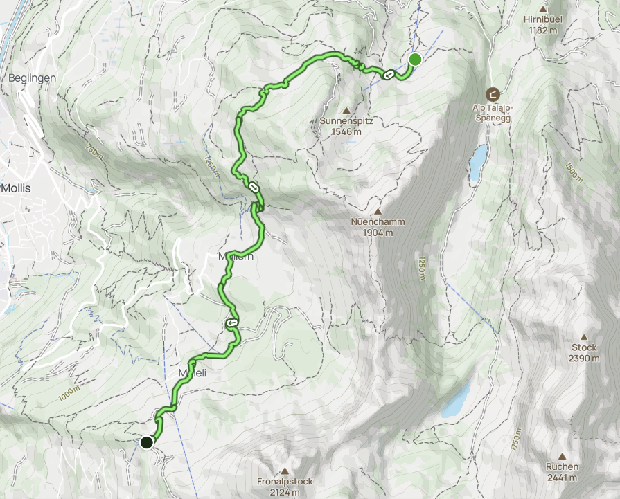
FYI – we started the hike from Naturfreundehaus Fronalp. We'll go into further detail about this later in the logistics sections.
Naturfreundehaus Fronalp
As we started the hike early on a weekday, we didn't get to enjoy the likely delights of dining at Naturfreundehaus Fronalp (as it was closed). But from there, you'll enjoy outstanding views of Fronalpstock, a mountain that we had major FOMO about not climbing! As they say, there's always next time.
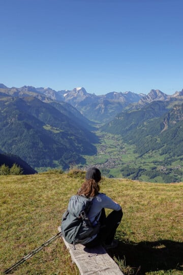
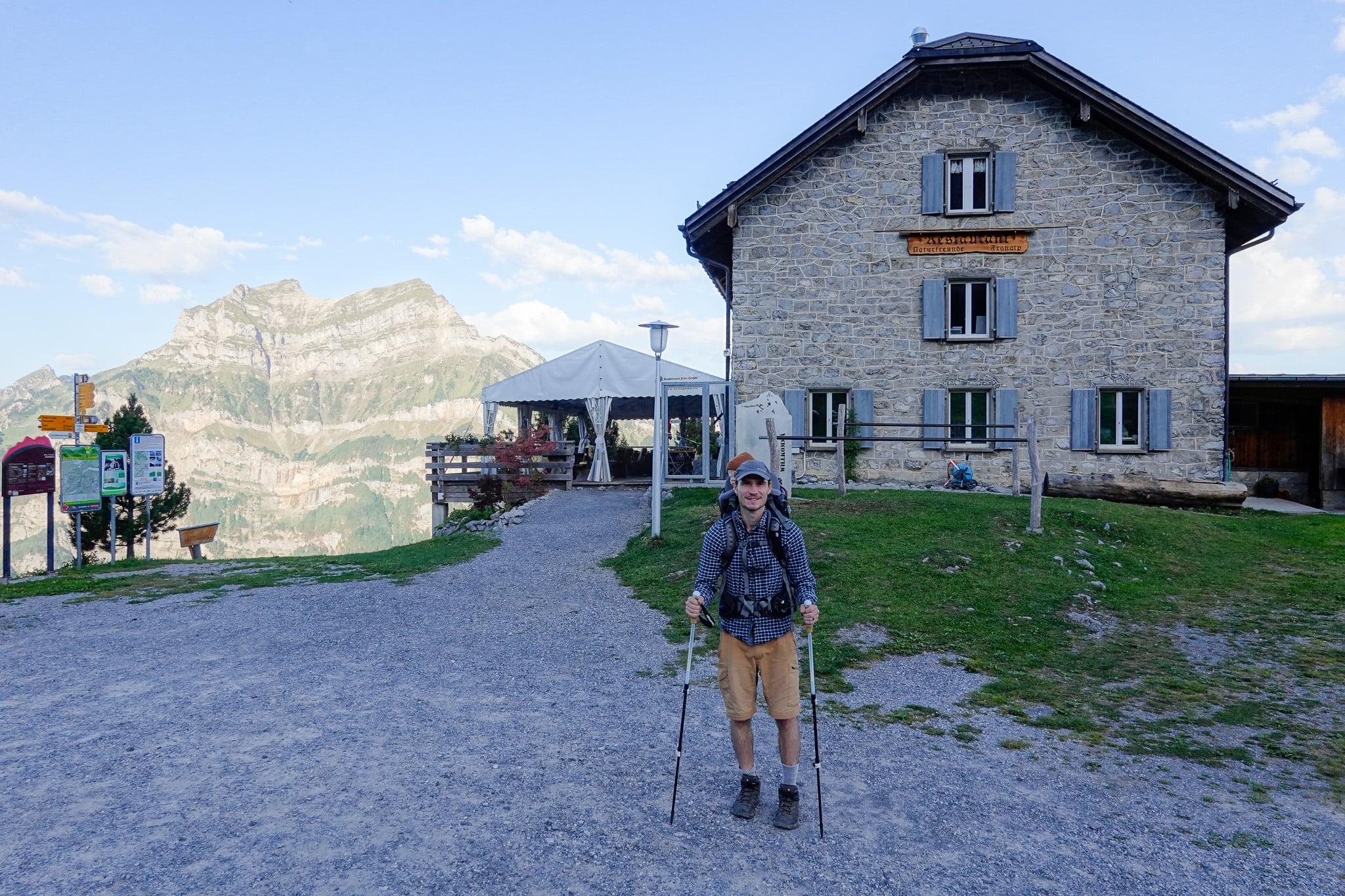
From Naturfreundehaus Fronalp, we headed northward to Mullern, enjoying splendid views of Linth Valley along the way.
Mullern
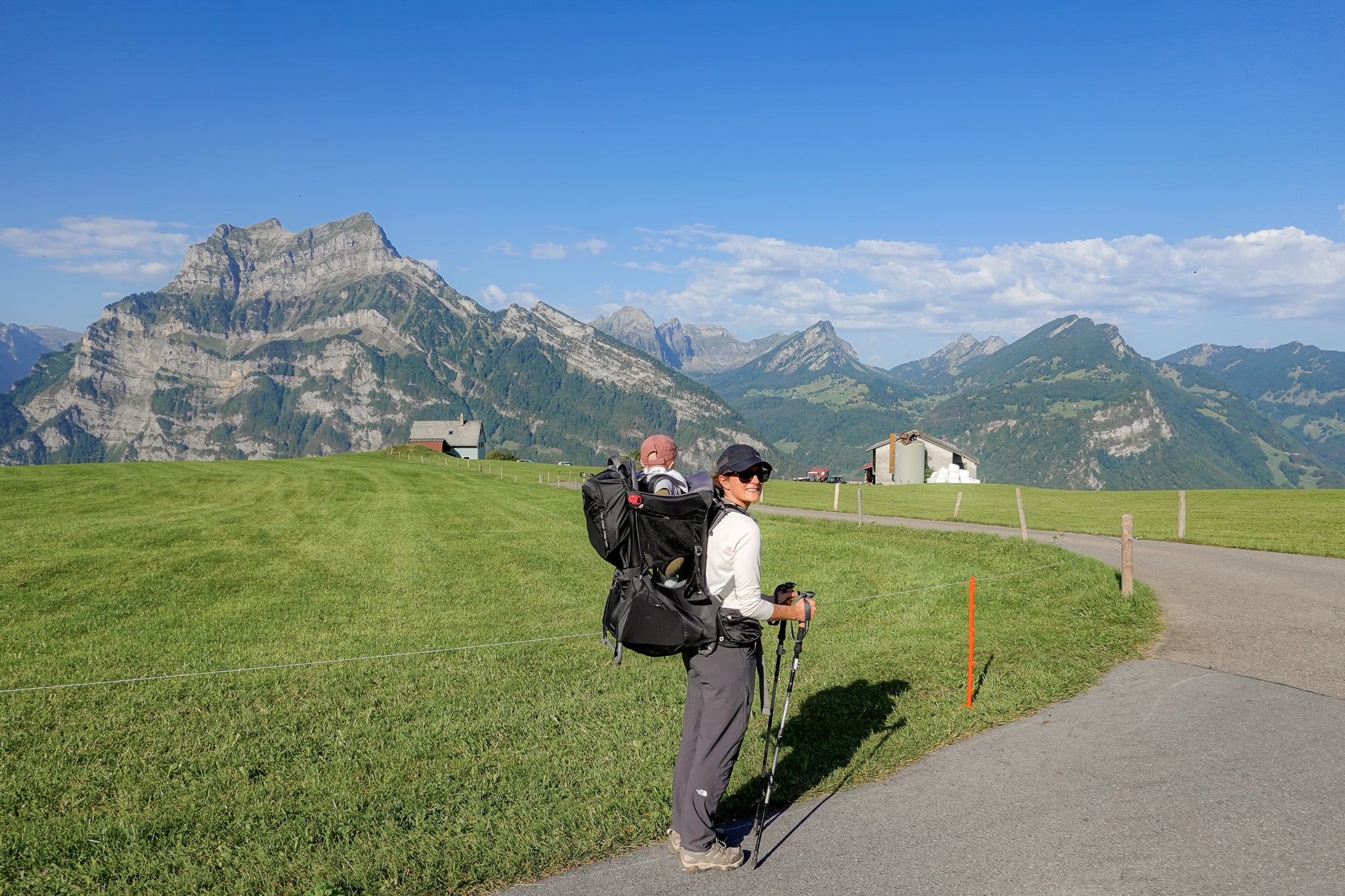
Mullern is a high-altitude mountain plateau and alpine pasture that you'll explore during the Schabziger Höhenweg. Along the flat plateau, you'll enjoy sweeping views of the glorious Glarner Alps.
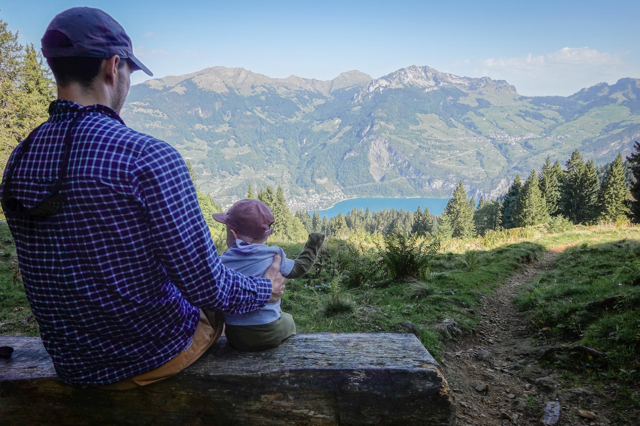
After hiking through Mullern, you'll enter forested areas, sometimes with no views. Eventually, you'll see Walensee (Lake Walen) for the first time. Here, a wooden bench offers a great place to sit and take in the stunning views of the lake and surrounding mountains. Our boy certainly enjoyed the views as he drank some milk!
This vantage point puts you close to Habergschwänd's main hub.
Habergschwänd
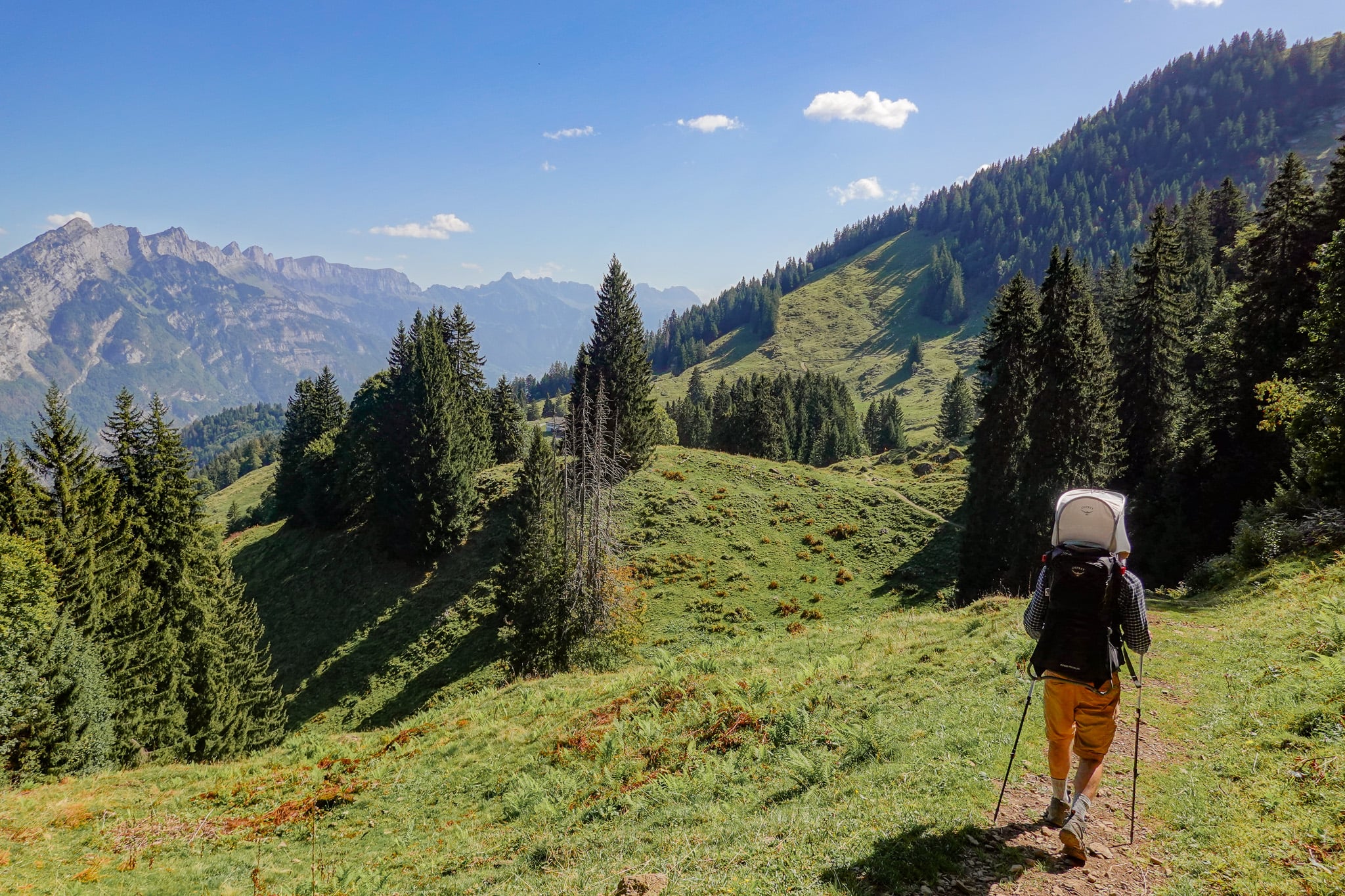
You'll soon meander through lush, rolling green pastures as you descend toward Habergschwänd. Reaching Berggasthaus Habergschwänd signalled not only the end of our hike, but also the end of our Glarnerland hiking trip.
We had actually had a quick drink here a couple of days earlier after finishing the Habergschwänd Talalpsee Hike. So we knew we were in for a treat!
Berggasthaus Habergschwänd
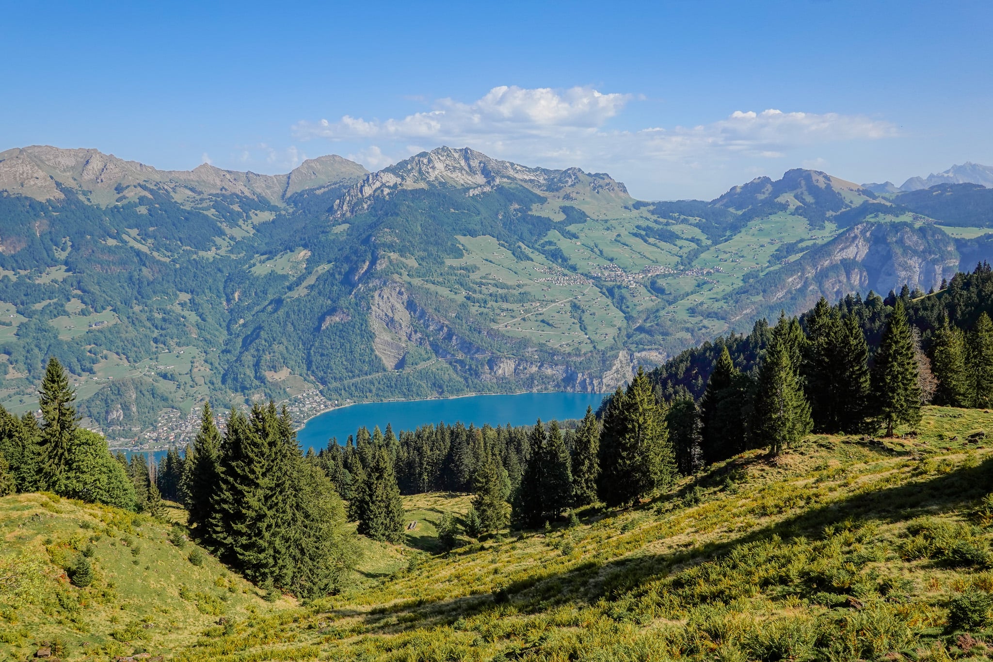
From Berggasthaus Habergschwänd, you'll enjoy outstanding views of Walensee and the Churfirsten mountain. After a big hiking trip, we celebrated our final hike with a few Swiss beers in the lovely outdoor seating area.
So, that's our experience and natural highlights of the Schabziger Höhenweg. Below, we'll run through the hike's logistics.
How to Do the Hike
As mentioned, we started the hike from Naturfreundehaus Fronalp. The steps outlined below reflect this. If you want to do the hike in the typical north-to-south direction, simply reverse these steps.
- Arrive at Naturfreundehaus Fronalp.
- Hike the Schabziger Höhenweg from Naturfreundehaus Fronalp to Habergschwänd.
- Catch the Sportsbahnen Kerenzerberg (chair lift) from the Habergschwänd Mountain Chair Lift Station to the Filzbach Valley Chair Lift Station.
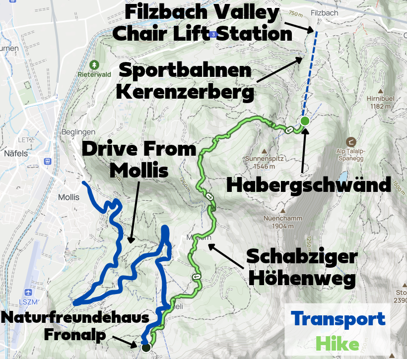
Personally, we car shuffled. After driving to Naturfreundehaus Fronalp, Beck, baby, and I did the hike, while Beck's parents inevitably picked us up in Filzbach. This suited us as we were staying in Filzbach.
Another option is to do this as an out and back hike. It makes more sense to do this from Habergschwänd.
How to Get to Naturfreundehaus Fronalp
You can drive, take a mountain taxi, or walk there.
Drive There
We hired a car from Zurich Airport for our Glarnerland hiking trip. So we were able to utilise that by doing a car shuffle as previously mentioned.
Bear in mind that the road between Mollis and Naturfreundehaus Fronalp involves mountain road driving. This means driving narrow, predominantly single-lane, winding roads. Truth be told, it was a slightly nerve-racking drive.
Thankfully, by driving up there early and during the week, we met no traffic on the way up. Beck's dad met only two other vehicles on the way down.
Despite the somewhat unpleasant drive, it made sense to do it so we could start the Schabziger Höhenweg there and do the car shuffle to meet later in Filzbach. Of course, some of you might find the drive an exhilarating part of the adventure!
Car Hire

If you don't have your own car, you should hire one using Discover Cars. Personally, we use Discover Cars and highly recommend them for finding your ideal car hire at an affordable price. Booking online is super easy and the free cancellation policy is great.
To find out more about renting a car with Discover Cars, read our Discover Cars review and Discover Cars Insurance review.
If you want to avoid the drive, that's totally fair enough. You can book a mountain taxi to take you from Mollis (or nearby) up to Naturfreundehaus Fronalp.
Walking There
You could walk approx. 5km from Mollis to Naturfreundehaus Fronalp. But it would involve a lot of elevation gain (approx. 850 metres). It's not a popular option, and we don't recommend it. But it could save you a few pennies if that's what you're looking to do!
Sportbahnen Kerenzerberg (Chair Lift)
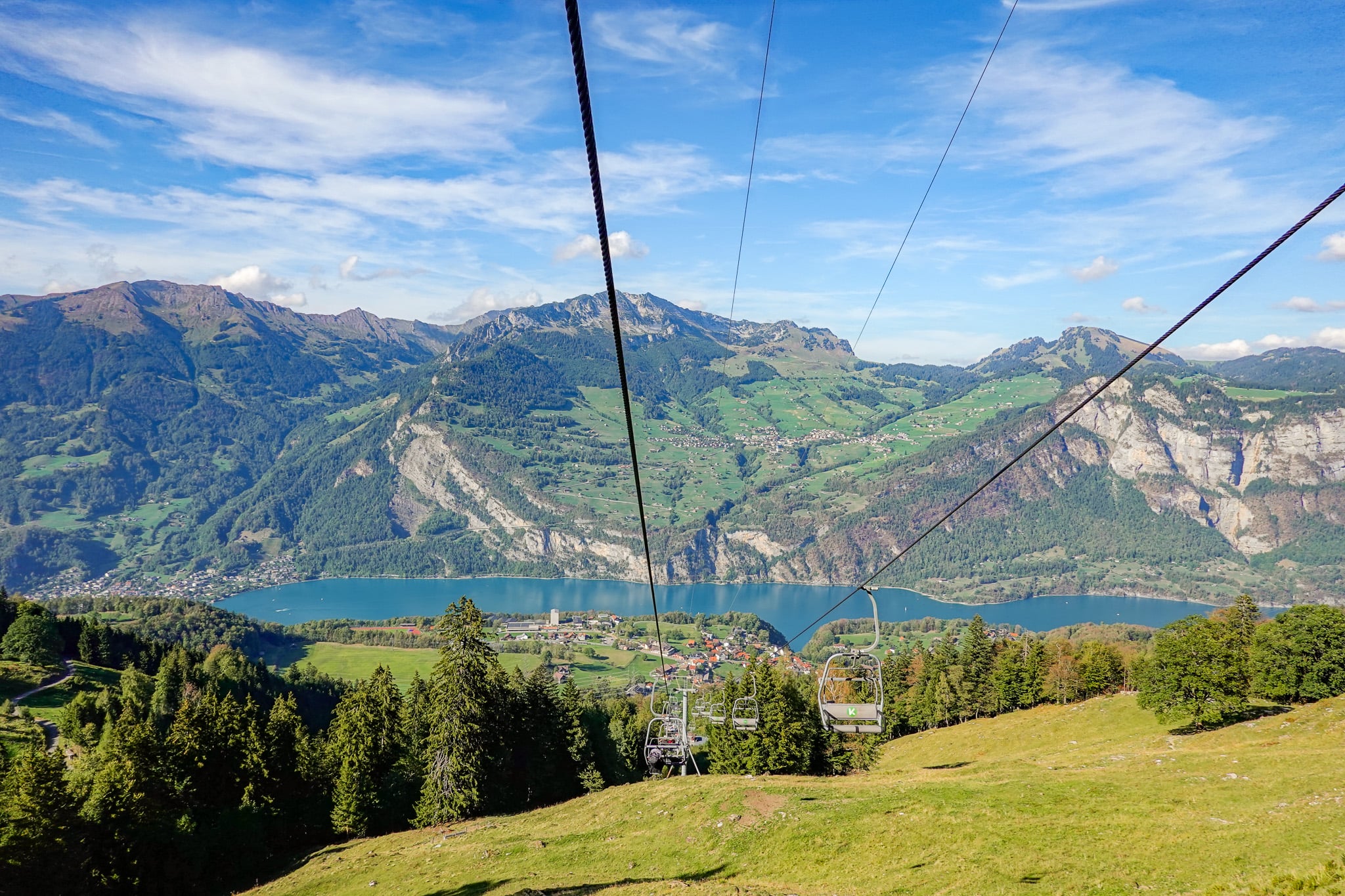
The Sportbahnen Kerenzerberg, AKA Kerenzerbergbahn, is well known as Switzerland's slowest chair lift! It takes 20 minutes and runs continuously during operating hours.
After completing the Schabziger Höhenweg, we took the chair lift down, enjoying more splendid views of Walensee.
As mentioned, owing to the car shuffle, we met Beck's parents in Filzbach after completing the Schabziger Höhenweg. If a car shuffle isn't possible, and you need to get back to Mollis, you can catch a bus from Filzbach.
What Are the Opening Hours?
Check the official Sportbahnen Kerenzerberg website for the most up-to-date information about opening hours.
Generally, it's open daily when it's operating. Monday to Friday, it's usually open from 9am to 4:30pm. During weekends in summer, the hours are usually extended.
What Time of Year Does it Operate?
Again, check the official website for the latest details about summer hours. Depending on the weather, it's usually open between April/May and October/November.
How Much Does a Ticket Cost?
For the most up-to-date prices, check the official website. Personally, we paid CHF 13 each for a one-way (descent) ride.
Can You Use the Glarnerland Pass?
If you have a Glarnerland Pass, you can get a discount, but it applies only Monday to Friday and only to return tickets. We did visit on a weekday but only needed to descend, so we sadly didn't get any discount!
The discount amount depends on how many nights you're staying in Glarnerland. For the latest information, check the Glarnerland Pass app or website.
FYI – you qualify for this pass if you stay at a commercial accommodation in the canton of Glarus for at least one night.
Where to Stay Nearby
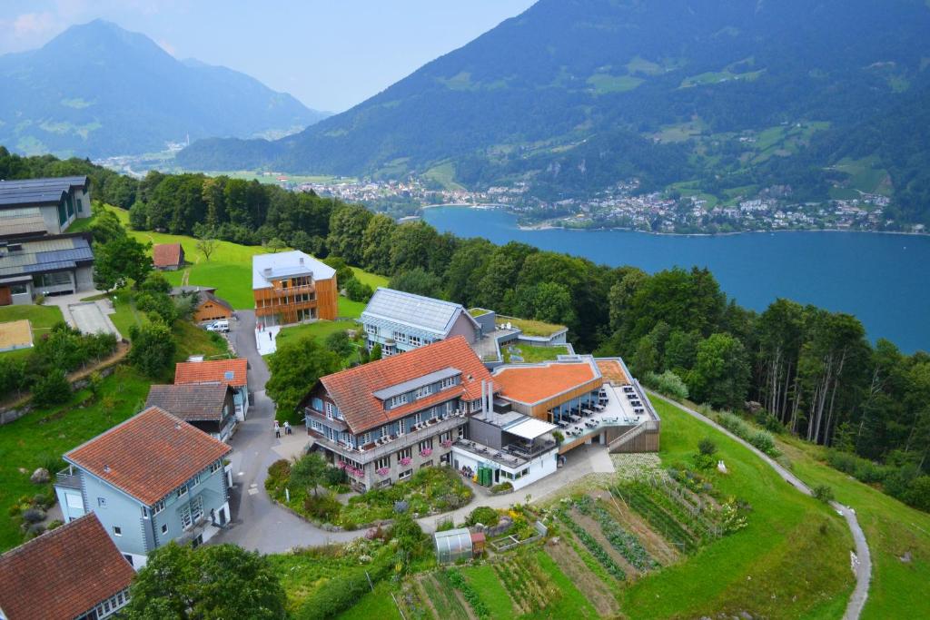
As stated earlier, we stayed in the village of Filzbach during our Glarnerland hiking trip. Filzbach is a convenient place to stay if you plan on doing the Schabziger Höhenweg as part of your itinerary. Best of all, it's a quaint and peaceful village to stay in.
Best Accommodation in Filzbach
There is one standout accommodation option in Filzbach – Seminarhotel Lihn. With breathtaking views of Walensee and the Churfirsten mountain, Seminarhotel Lihn offers comfortable rooms and a highly rated restaurant. We enjoyed an outstanding meal there.