Klöntalersee Rundwanderweg (Lake Klöntal Circular Hike) [2026]
Klöntalersee (Lake Klöntal) is one of the most outstanding natural attractions in the canton of Glarus (Glarnerland). The Klöntalersee Rundwanderweg (Lake Klöntal Circular Hike) lets you enjoy the lake's beauty from every angle as you loop around it.
In this guide, we'll tell you everything you need to know about the Klöntalersee Rundwanderweg.
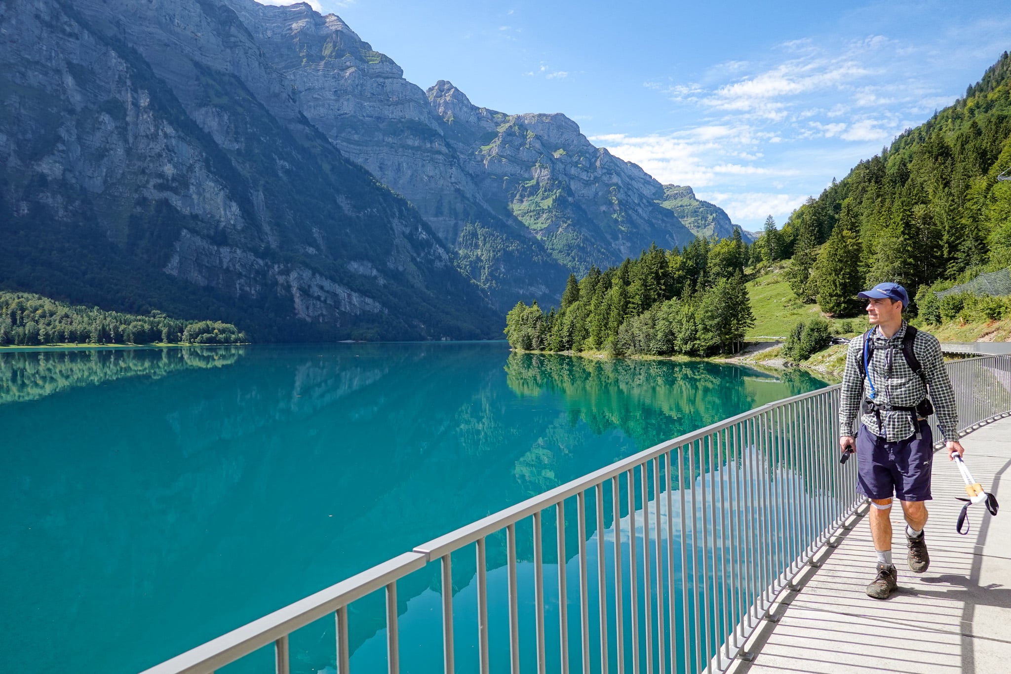
Table of Contents
Klöntalersee Rundwanderweg (Lake Klöntal Circular Hike)
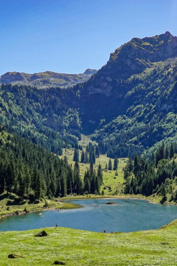
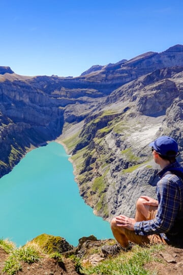
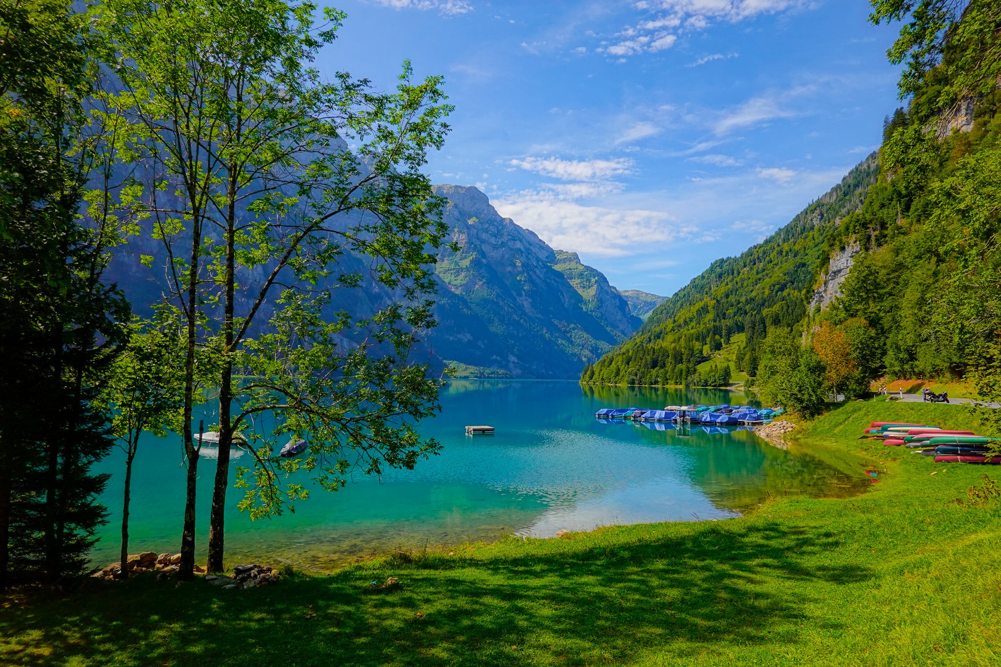
As the name suggests, the Klöntalersee Rundwanderweg (Lake Klöntal Circular Hike) loops around the lake. This lets you see the turquoise-coloured lake in all its glory. It also lets you take in the lake's picturesque natural setting.
Most visitors to the lake won't do much, if any, hiking there. But they're missing out! Enjoying views of the lake across different natural surroundings and from varying vantage points is one of the best ways to enjoy a visit.
Let's look at the trail specs for this circular walk below!
Trail Specs
- Type: Loop
- Distance: 13.2km
- Time: 4 hours
- Accumulated elevation gain/loss: 145m
- Trailhead: Rhodannenberg (or Vorauen)
- Difficulty: Easy
- Map: AllTrails
You can start the hike at either Rhodannenberg (east side of the lake) or Vorauen (west side of the lake). Personally, we started the circular hike from Rhodannenberg.
FYI – the official AllTrails map suggests the elevation gain is approx. 700 metres, which is grossly inaccurate.
Why Not Stay On Klöntalersee?
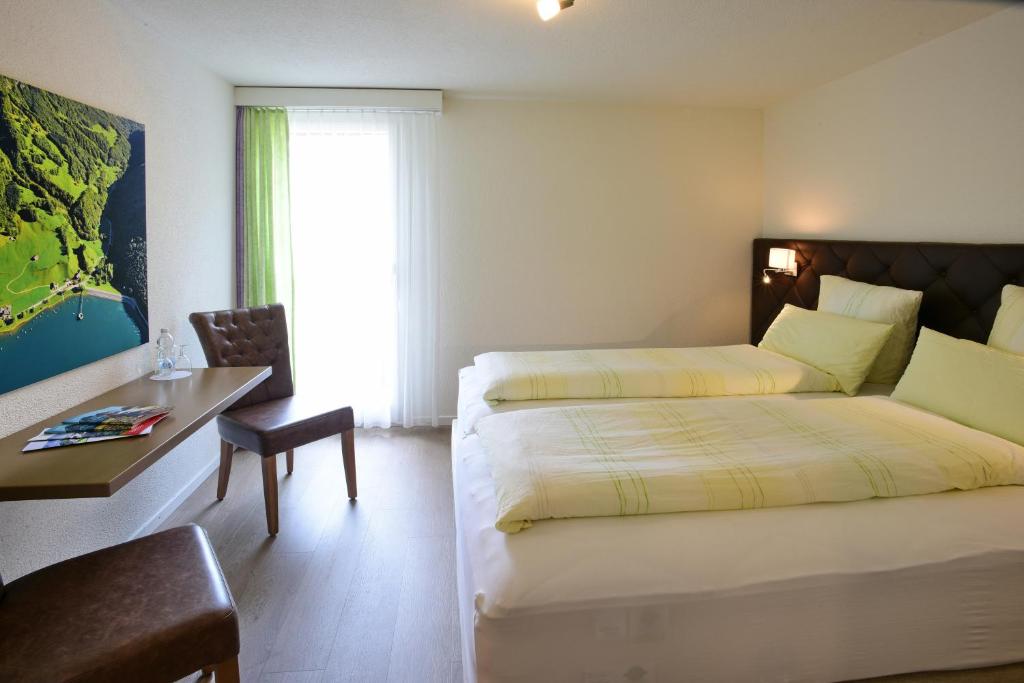
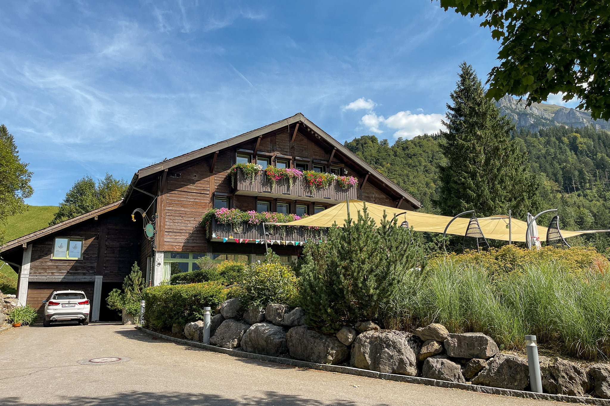
Hotel Rhodannenberg is perfectly situated on Klöntalersee, providing stunning lake views. Beyond its prime location, the highly rated hotel-restaurant offers exceptional facilities, ensuring a great stay in Glarnerland.
Klöntalersee Rundwanderweg Map
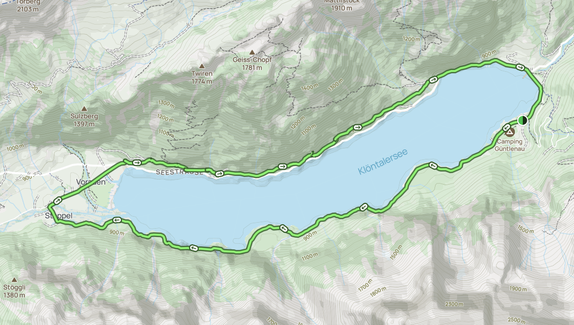
The Klöntalersee Rundwanderweg is fairly self-explanatory and shouldn't require constant map use.
Beck and I used this AllTrails map, which helped us navigate through Vorauen and, importantly, distinguish the trail turnoff from the road along the northern side of the lake. We'll explain this further later in the blog post.
Klöntalersee Circular Hike: Our Experience
Beck and I initially planned to do this hike with our seven-month-old boy. We had done so on Ahornen Rundweg two days earlier, on the first day of our Glarus hiking trip.
Admittedly, we underestimated the physical demands of having him on our backs during that hard hike. We loved having him with us, but it was tough! I was basically limping by the end!
After seeing the AllTrails specs for Klöntalersee Rundwanderweg, which noted a longer duration and higher elevation gain than Ahornen Rundweg, we decided not to take him with us. After all, we still had a week of hiking left and wanted to save our bodies.
It wasn't until we were around halfway through the Klöntalersee Rundwanderweg that we thought, there is no way there is around 700 metres of elevation gain. Indeed, the elevation gain reported on the AllTrails map was nowhere near accurate.
In reality, the circular hike has more like 130 metres of elevation gain, which we felt would have been manageable with our boy. So we were disappointed we didn't take him with us.
You might be thinking, well, of course a lakeside walk won't have much elevation gain. And we understand your logic. But we've done plenty of 'lakeside' walks before that feature just a few diversions away from the lake, then go up into mountains, which can add serious elevation gain. So, we had no reason to doubt the usually reliable AllTrails specs given the mountainous setting.
Still, overall, the hike was really enjoyable even without our son joining us. At least we could enjoy the lake with him once we finished the hike.
Anyway, below, we'll point out some of the loop trail's highlights.
Trailhead: Rhodannenberg
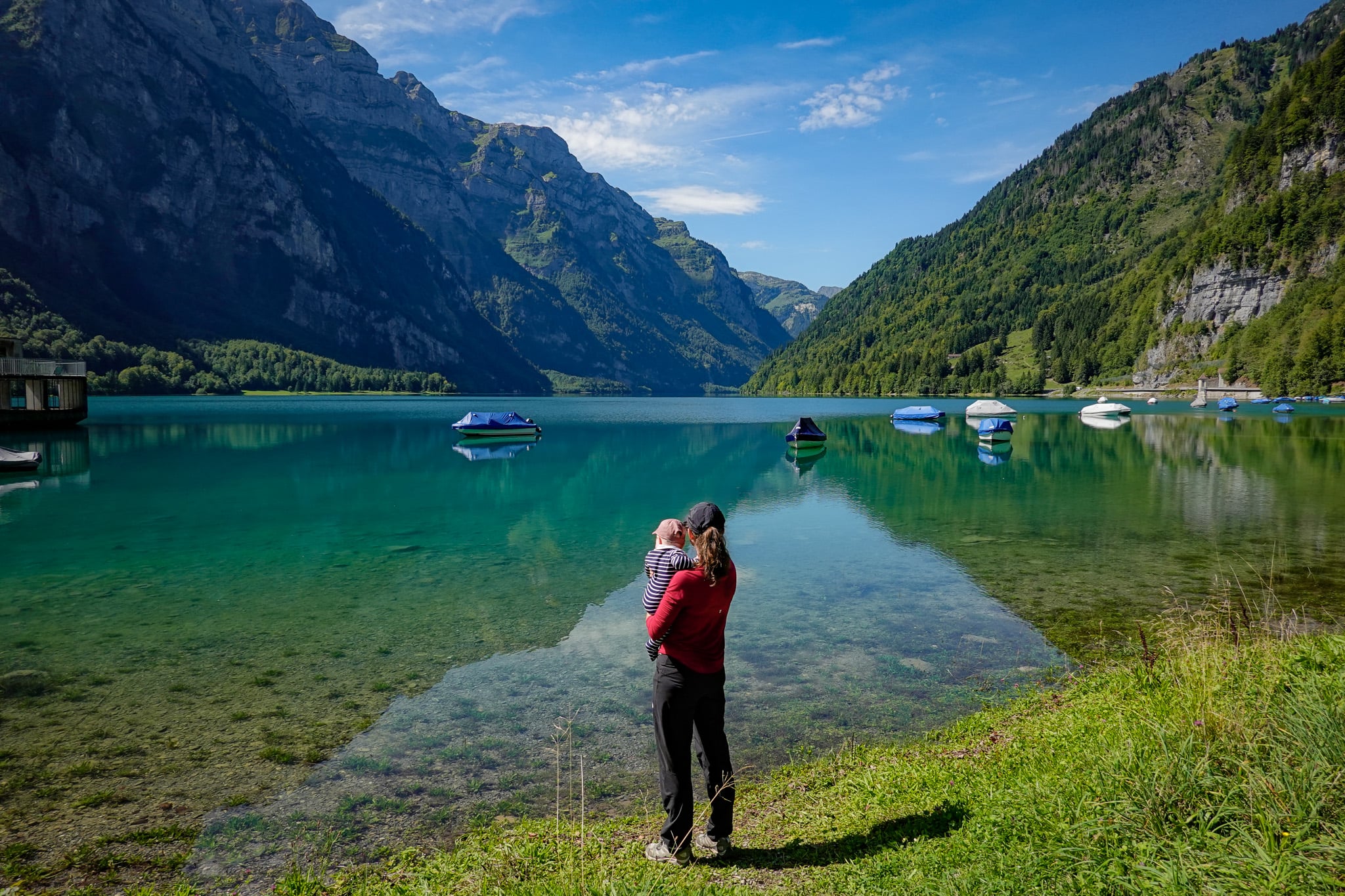
As mentioned, you can start the walk at either Rhodannenberg or at the other end of the lake at Vorauen. While Beck and I did the hike, we left our boy with Beck's parents at Rhodannenberg, planning to meet for lunch afterwards at Hotel Rhodannenberg. That's one of the main reasons we chose to start at Rhodannenberg.
Also, it was a shorter drive from our accommodation to Rhodannenberg than Vorauen!
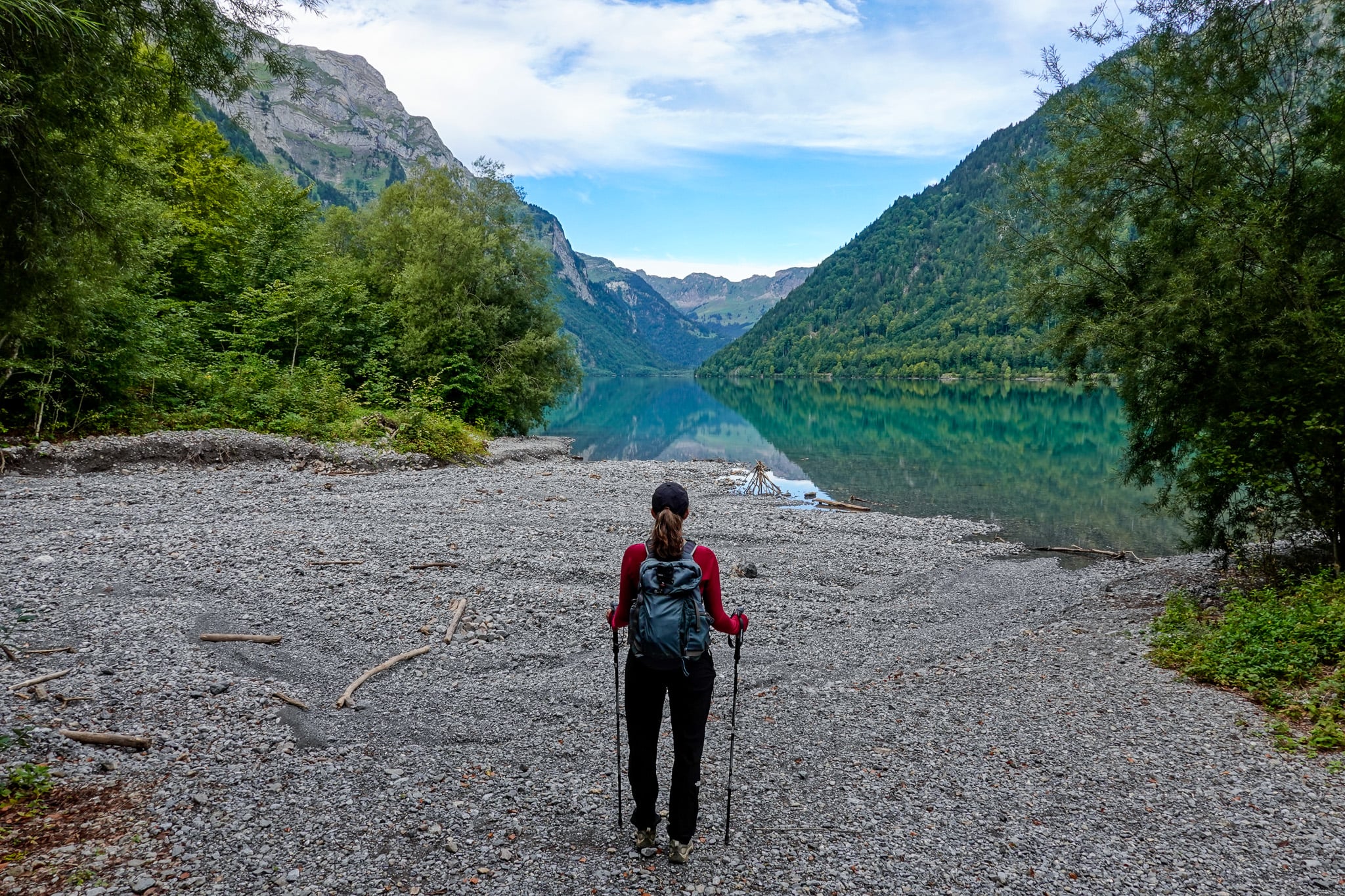
Anyway, we completed the Klöntalersee Rundwanderweg clockwise. By doing so, you'll initially walk along the eastern edge of the lake before heading through a campground. Just beyond the campground are a couple of small pebble bays that make for an epic photo stop.
Klöntalersee Waterfall
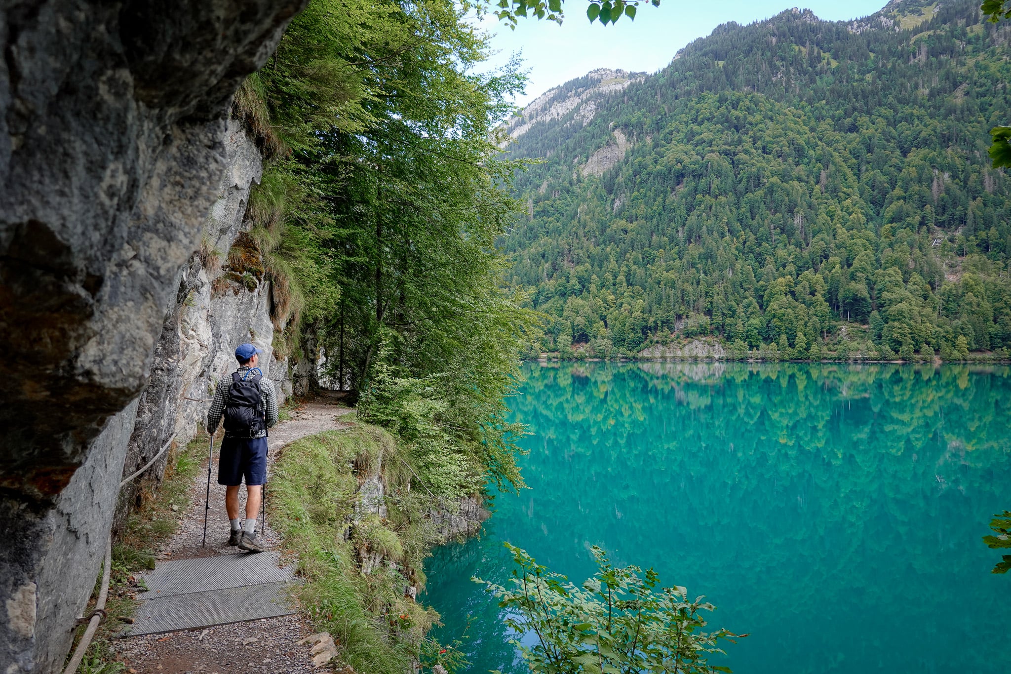
Soon enough, the campground road turns into a hiking trail that runs along the lake's southern edge. Every so often, the undulating trail reveals an epic viewpoint of the lake.
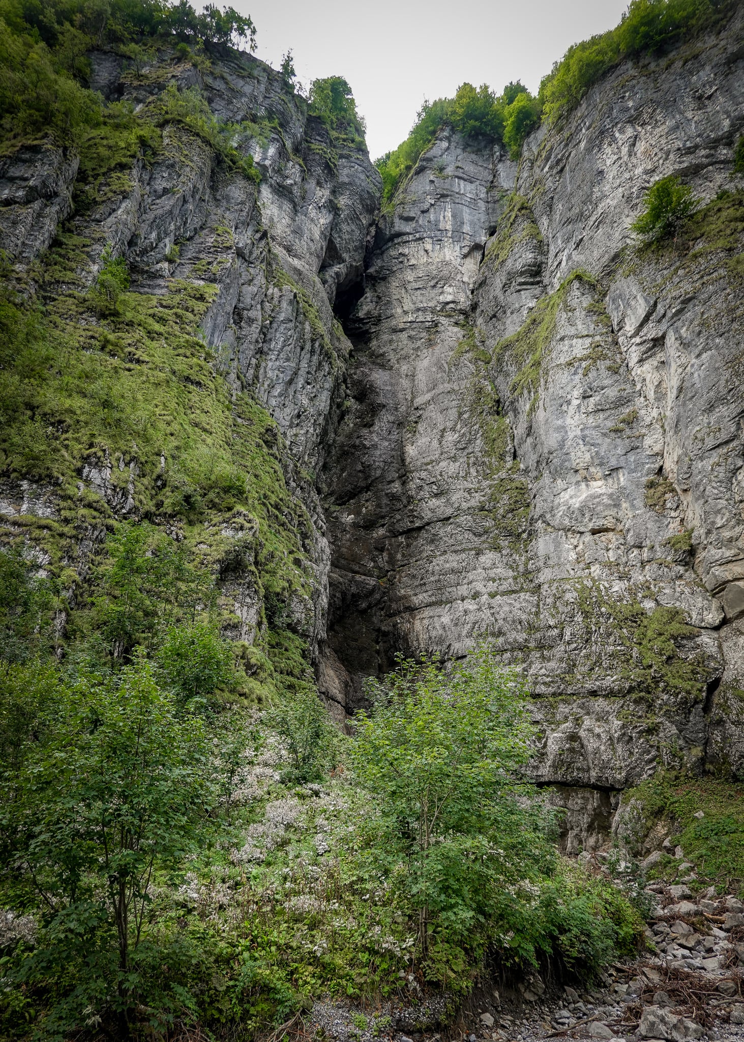
Eventually, you'll reach the Klöntalersee Waterfall. Unfortunately, the waterfall was barely a trickle when we visited. We visited in early Fall after a hot summer featuring numerous heat waves. So, a bone-dry waterfall was to be expected.
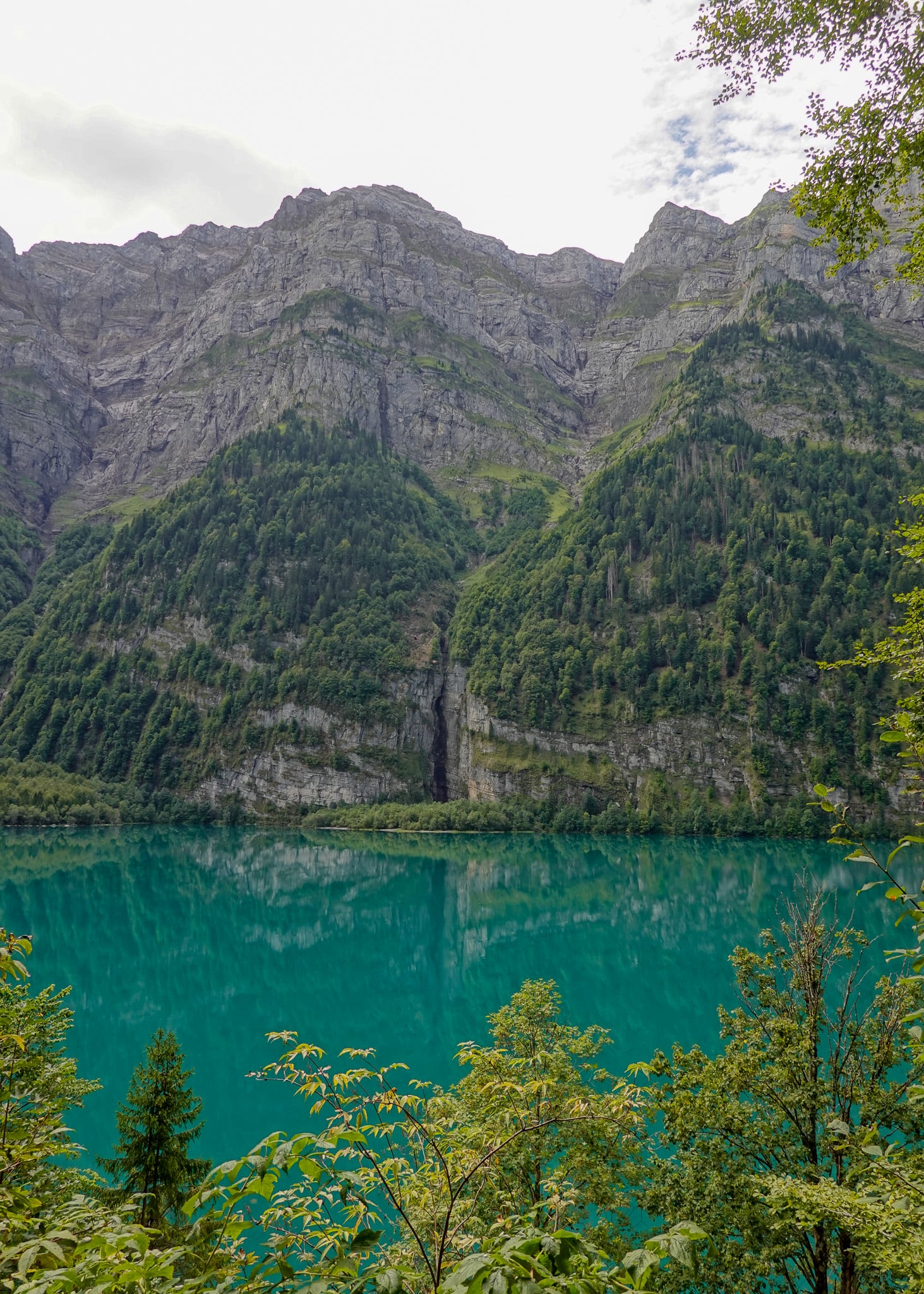
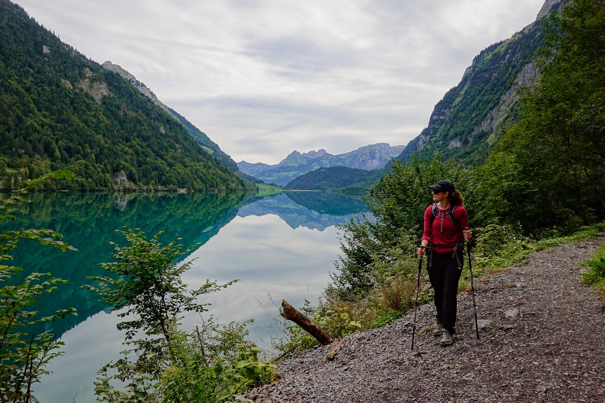
Following the waterfall, as you near the southwest tip of the lake, the trail becomes more exposed and less densely forested. This is where you'll enjoy some of the best lake views along the Klöntalersee Rundwanderweg.
Vorauen and Sulzbachfall
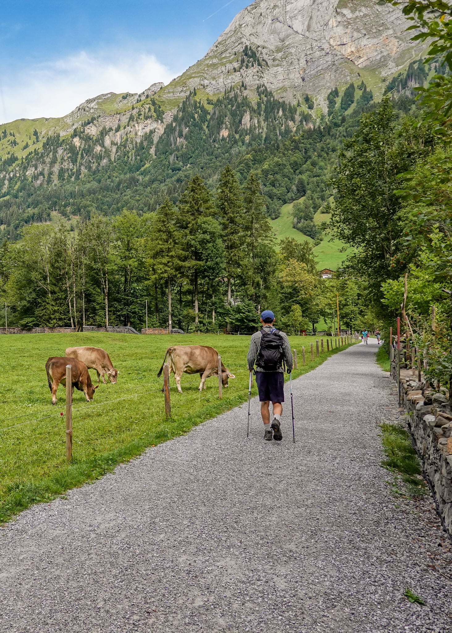
Arriving in the village of Voreuen signals the halfway point of the walk. As you walk through the village, you'll pass another lakeside campground.
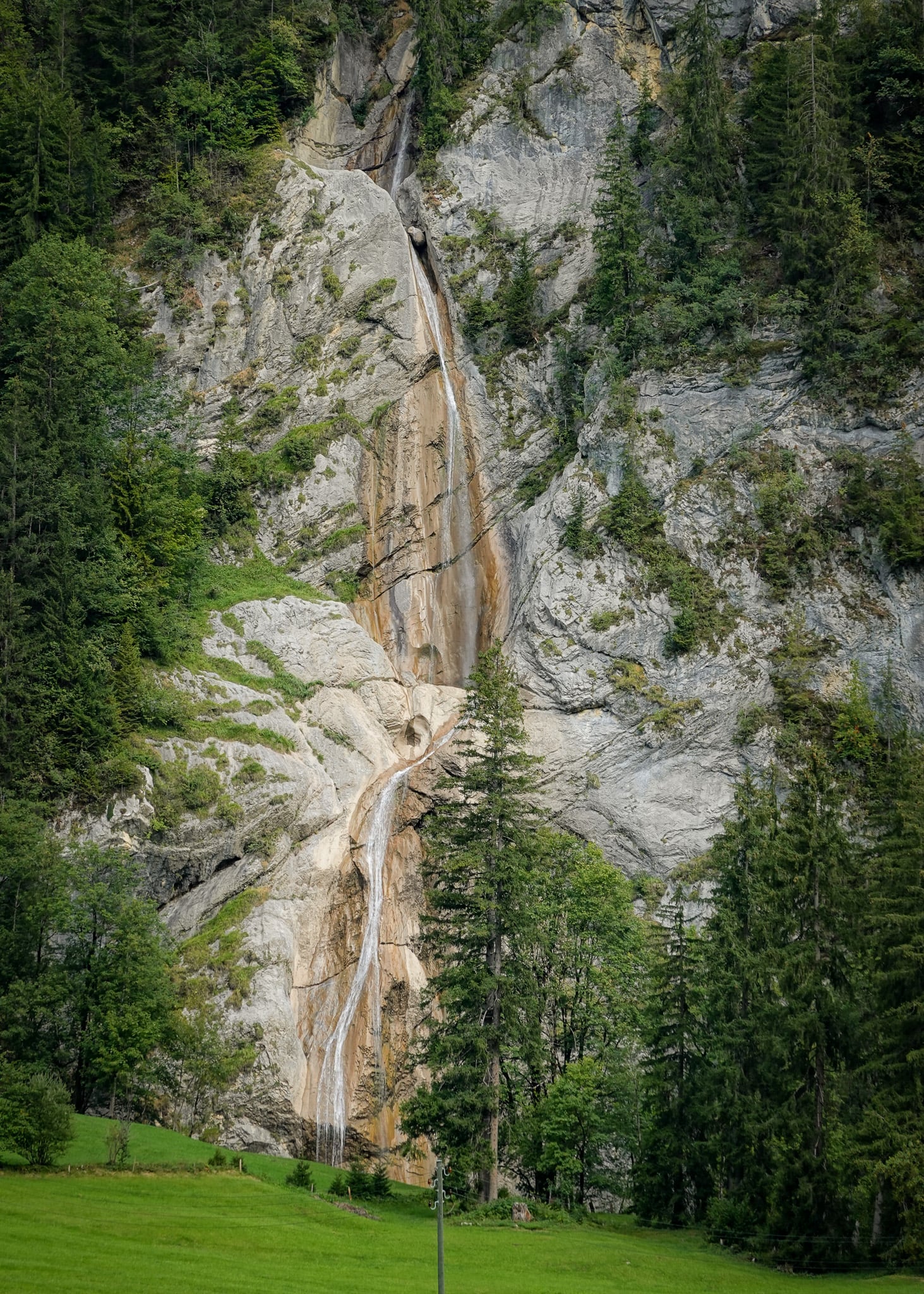
As you exit Vorauen and approach the northwest tip of the lake, you'll likely spot a waterfall to your left beyond the road. This waterfall is called Sulzbachfall, and, to our surprise, despite the recent spell of hot weather, it still had some flow.
Continue on the Trail, Not the Road
As you leave Vorauen, you'll walk along a road called Klöntalerstrasse, which follows alongside the northern edge of the lake.
It's easy to miss, but a signpost marks a trail that takes you off the road. We saw lots of people miss this turnoff (by accident, we're not sure) and continue along the road. Follow the trail to avoid a long road walk.
Along the hiking route, you'll enjoy a far more scenic trail, which is much more undulating than the trail along the southern edge. Yes, the forest will obscure your views at times. But the vantage points still offer the occasional window for glorious views.
As you approach Rhodannenberg, you'll join a paved trail with a rail that provides splendid far-reaching views of Klöntalersee.
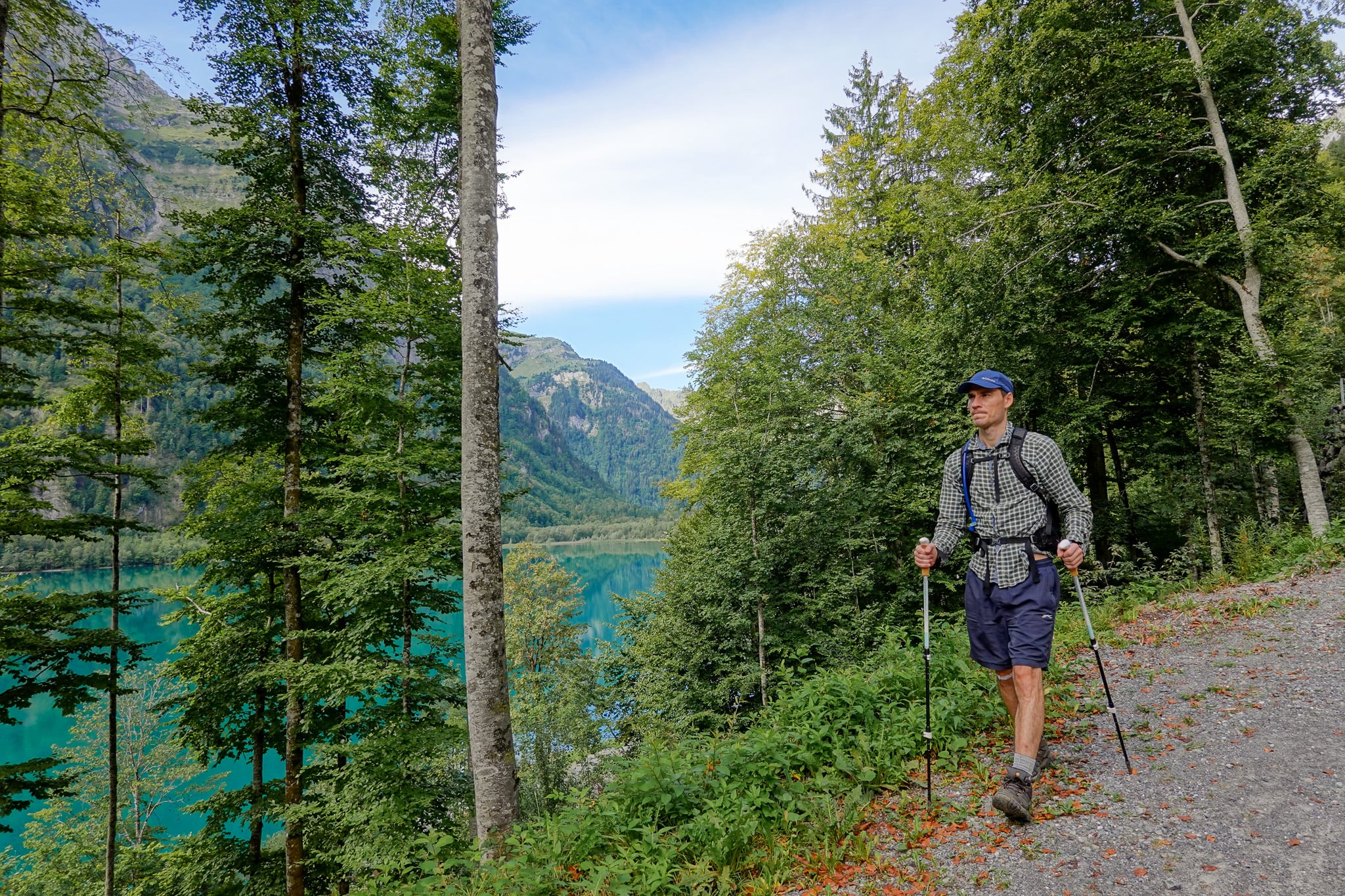
Finally, you'll reach Rhodannenberg, signalling the end of your walk! At this point, you'll surely be tempted to stop for at least a drink at Hotel Rhodannenberg.
Hotel Rhodannenberg
After finishing the Klöntalersee Rundwanderweg, we all enjoyed a lovely meal and drink at Hotel Rhodannenberg. We sat outside, soaking in the lake's exquisite views.
How to Get There
You can drive or take public transport to get to Klöntalersee.
Drive There
Personally, we hired a car from Zurich Airport for our trip to Glarus. So, we simply drove there.
Car Hire

If you don't have your own car, you should hire one using Discover Cars. Personally, we use Discover Cars and highly recommend them for finding your ideal car hire at an affordable price. Booking online is super easy and the free cancellation policy is great.
To find out more about renting a car with Discover Cars, read our Discover Cars review and Discover Cars Insurance review.
Parking
There are some free roadside parking areas near Hotel Rhodannenberg, where you can start the hike. But these fill up fast, especially on weekends and in summer. Otherwise, you can park at the hotel's car park. Parking is free for hotel guests and restaurant patrons.
Use Public Transport
You can get the bus to either Rhodannenberg or Vorauen. However, bus service can be infrequent, especially outside peak season. For the ultimate convenience, we recommend driving there, if possible.
Where to Stay Nearby
The most convenient place to stay to do the Klöntalersee Rundwanderweg is Hotel Rhodannenberg. You can literally do the walk from this lovely accommodation.
Otherwise, if you're exploring the wider Glarnerland area (not just Klöntalersee), you can really stay anywhere in the canton of Glarus. Personally, we stayed in Filzbach in Glarus Nord and highly recommend this picturesque, non-touristy village.
To find the perfect place to stay in Glarus, we recommend using Booking.com.
Klöntalersee Rundwanderweg FAQs
Here, we'll answer some of the most commonly asked questions about this hike and hiking at the lake in general.
How Long Does It Take to Hike Around Klöntalersee?
It takes approx. four hours.
What Are the Easier Hikes at Klöntalersee?
You can walk from Rhodannenberg to Voraeun (or vice versa) along either the northern or southern edge of the lake, then take the bus back to your starting point. Essentially, this halves the walk's distance, making it much easier and quicker.
Bear in mind, the trail along the northern edge is much more undulating and features more elevation gain/loss than the trail along the southern edge.
If you want the easiest option, choose the trail along the lake's southern edge. Because this trail is much flatter, it's a similar-difficulty walk, completed in either direction (whether you walk Rhodannenberg to Voraeun or Voraeun to Rhodannenberg).
Otherwise, you can simply do shorter walks around the lake on paved trails at either Rhodannenberg or Voraeun. These trails are pram-friendly.
Is The Hike Worth Doing?
Yes, 100%! We can't think of a better way to enjoy the lake's beauty and natural surroundings than doing the Klöntalersee Rundwanderweg.