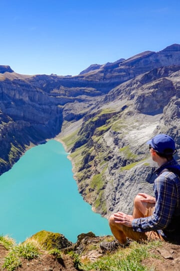
Hirzli Planggenstock Circular Hike From Morenholz
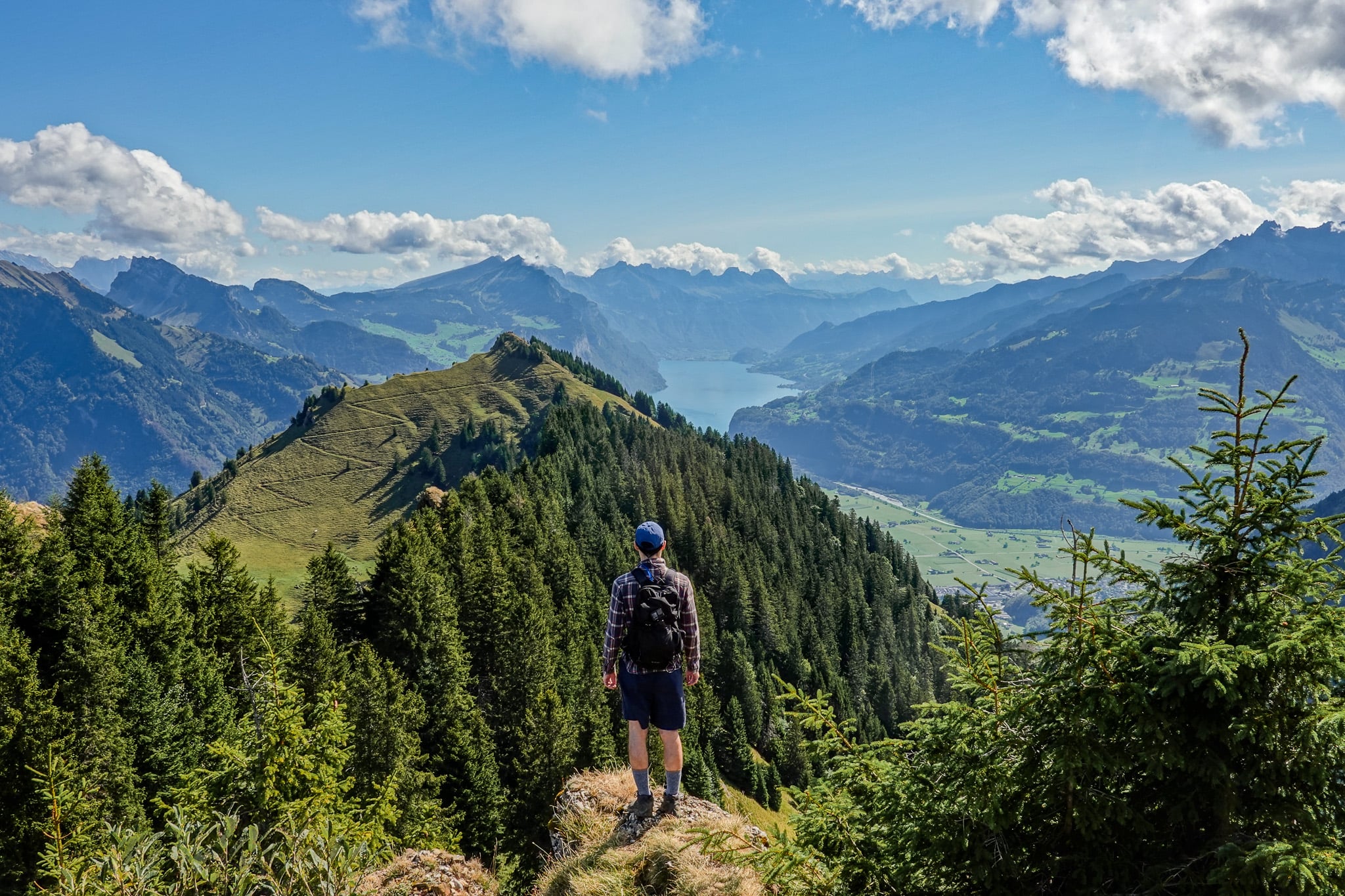
The Hirzli Planggenstock Hike is one of the best circular routes in the canton of Glarus (Glarnerland). From both Hirzli and Planggenstock, you'll enjoy epic views of mountains and lakes, while the hike itself is fun and adventurous.
In this guide, we'll cover everything you need to know about doing the Hirzli Planggenstock Hike.
Table of Contents
Extension of Hirzli Rundweg
The Hirzli Planggenstock Hike is a circular route that takes you to the summits of both Hirzli (1,639m) and Planggenstock (1,674m). Essentially, it's an extension of the Hirzli Rundweg (Loop Walk), which is officially recognised as route number 814.
Basically, the Hirzli Planggenstock Hike involves doing the Hirzli Rundweg, but adding an ascent to Planggenstock.
The epic ridge hike between the Hirzli and Planggenstock peaks, plus the extraordinary views from Planggenstock, are both worth experiencing. That's why you should do the Hirzli Planggenstock Hike, rather than just the Hirzli Rundweg.
Hirzli Planggenstock Hike: Trail Specs
- Type: Loop
- Distance: 8.7km
- Time: 3–4 hours
- Accumulated elevation gain: 725m
- Trailhead: Morgenholz Cable Car Station
- Difficulty: Hard (T3-)
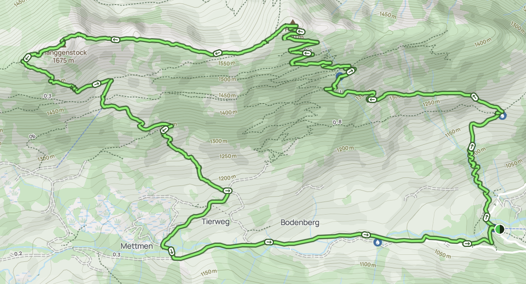
- Map: AllTrails
Hike Difficulty
The Swiss Alpine Club (SAC) rates this hike as T3- difficult mountain hiking. A T3 grading generally means the hike has the following characteristics and requirements.

However, the T3- (minus) rating implies this hike is on the easier end of the scale regarding difficult mountain hiking.
Yes, at least one short section is secured with a rope. And yes, the accumulated elevation gain over a relatively short distance makes it a physically gruelling hike.
However, with all things considered, Beck and I think that the hike is somewhere between moderate and hard. And, if you had to press us to choose one or the other, we'd probably go with moderate difficulty. Any exposed areas are generally secured, and the hike isn't at all technical.
Hirzli Planggenstock Hike: Map
Personally, Beck and I used this AllTrails map to help us navigate the hike. Another option is to use SwitzerlandMobility for official hiking route maps in Switzerland.
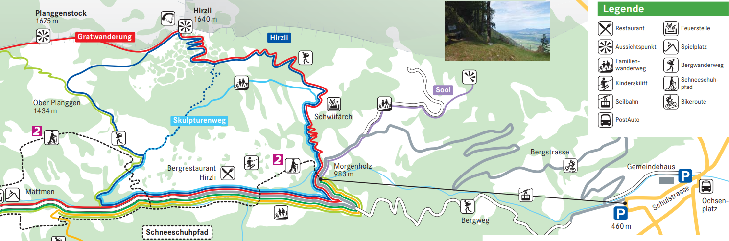
As mentioned before, Hirzli Rundweg is officially recognised as route number 184. You'll see green 'Hirzli Rundweg 184' labels on some of the yellow signposts to help you navigate the route.
Because you'll follow the Hirzli Rundweg for most of the Hirzli Planggenstock Hike, you can use these labelled signposts to navigate most of the time. Of course, you'll briefly leave the Hirzli Rundweg when you ascend and descend Planggenstock.
Being a T3 trail, you'll also find white-red-white trail markers along the entire hike to help you stay on track.
How to Do the Hike
To do the Hirzli Planggenstock Hike, you'll follow these simple steps!
- Arrive at the Niederurnen Cable Car Station
- Catch the Niederurnen-Morgenholz Cable Car to arrive in Morgenholz
- Complete the Hirzli Planggenstock Circular Hike From the Morgenholz Cable Car Station
- Catch the Morgenholz-Niederurnen Cable Car to return to Niederurnen
Below, we'll break down these steps a little further with tips and tricks to help you plan your journey.
Reaching The Niederurnen Cable Car Station
To get to the Niederurnen Cable Car Station, you can either drive or use public transport.
Personally, Beck and I hired a car from Zurich Airport for our Glarus (Glarnerland) hiking trip. So, we drove to the Niederurnen Cable Car Station and parked there.
Car Hire

If you don't have your own car, you should hire one using Discover Cars. Personally, we use Discover Cars and highly recommend them for finding your ideal car hire at an affordable price. Booking online is super easy and the free cancellation policy is great.
To find out more about renting a car with Discover Cars, read our Discover Cars review and Discover Cars Insurance review.
To arrive by public transport, you'll catch a train to Ziegelbrücke station in Glarus Nord. You'll then catch a bus to the Ochsenplatz stop in Niederurnen. From the bus stop, it's a 550 metre walk to the Niederurnen Cable Car Station.
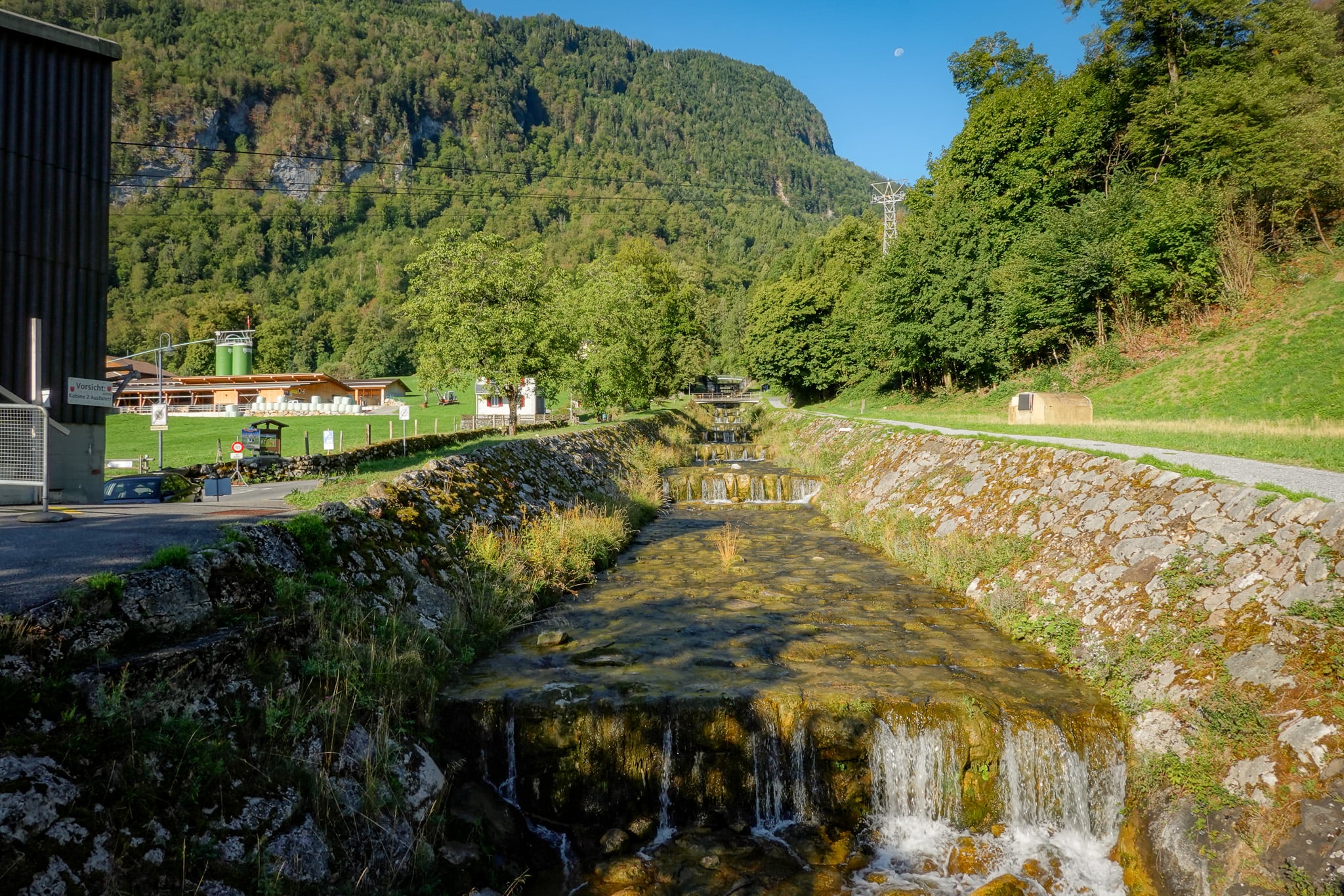
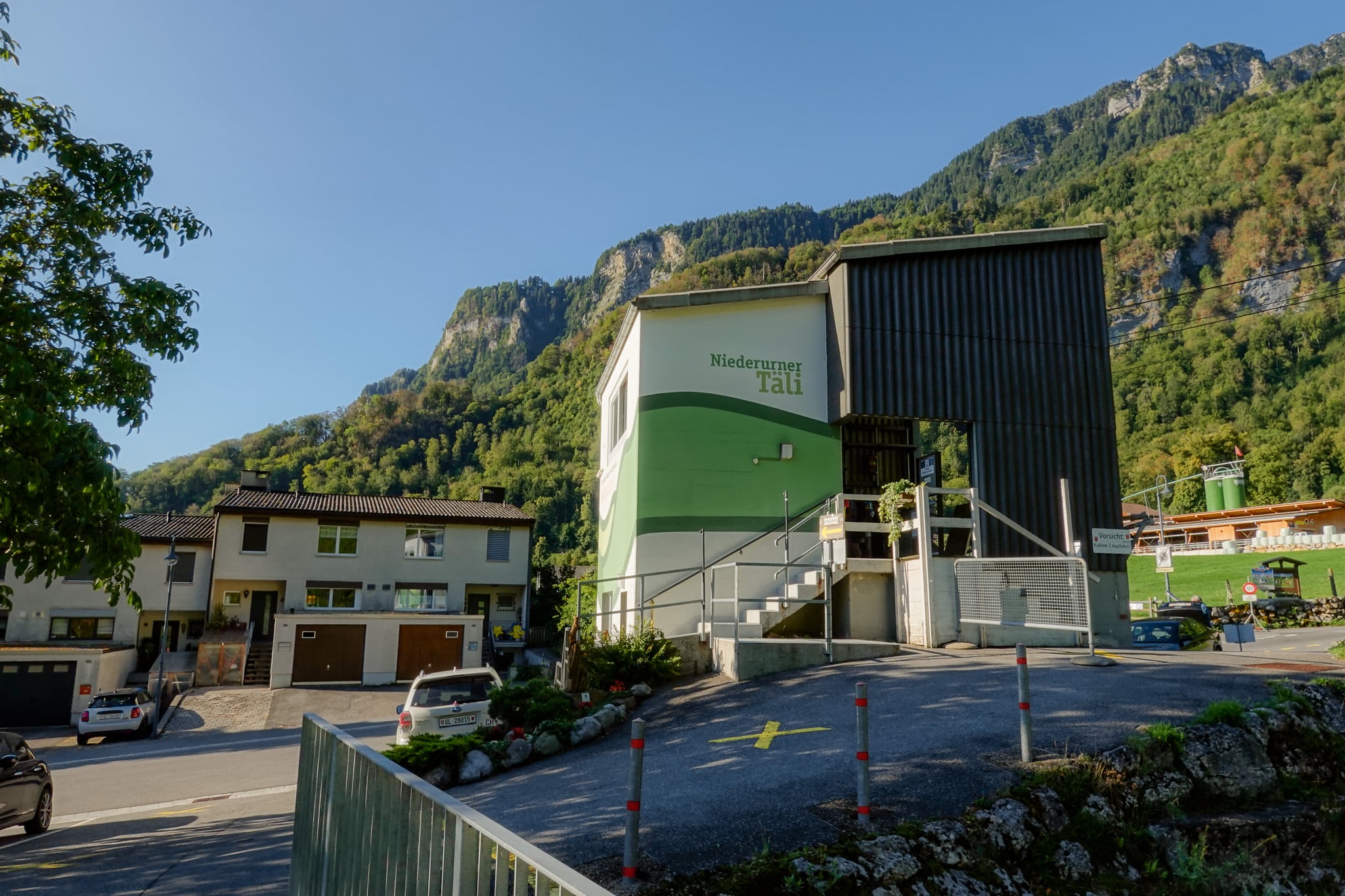
Niederurnen-Morgenholz Cable Car
You'll then catch the cable car (Luftseilbahn Niederurnen-Morgenholz) from Niederurnen to Morgenholz. Generally, the cable car operates year-round. The scenic 10 minute ride rises approx. 520 metres to reach Morgenholz.
Once you arrive at Morgenholz, it's time to do the hike!
Hike Details (Our Experience)
As per usual for our Glarus hiking blog posts, we won't provide a long-winded trail description. Below, we'll highlight the main points of interest along the walk, through our eyes!
Trailhead: Morgenholz Cable Car Station
Just a stone's throw away from the Morgenholz Cable Car Station, you'll find the trailhead for the Hirzli Planggenstock Hike.
Most people hike to Hirzli first rather than Planggenstock, so you'll complete the walk anti-clockwise. By doing so, you'll join a trail that actually follows a number of named routes. You'll not only follow the Hirzli Planggenstock Hike and Hirzli Rundweg, but also The Sculpture Trail.
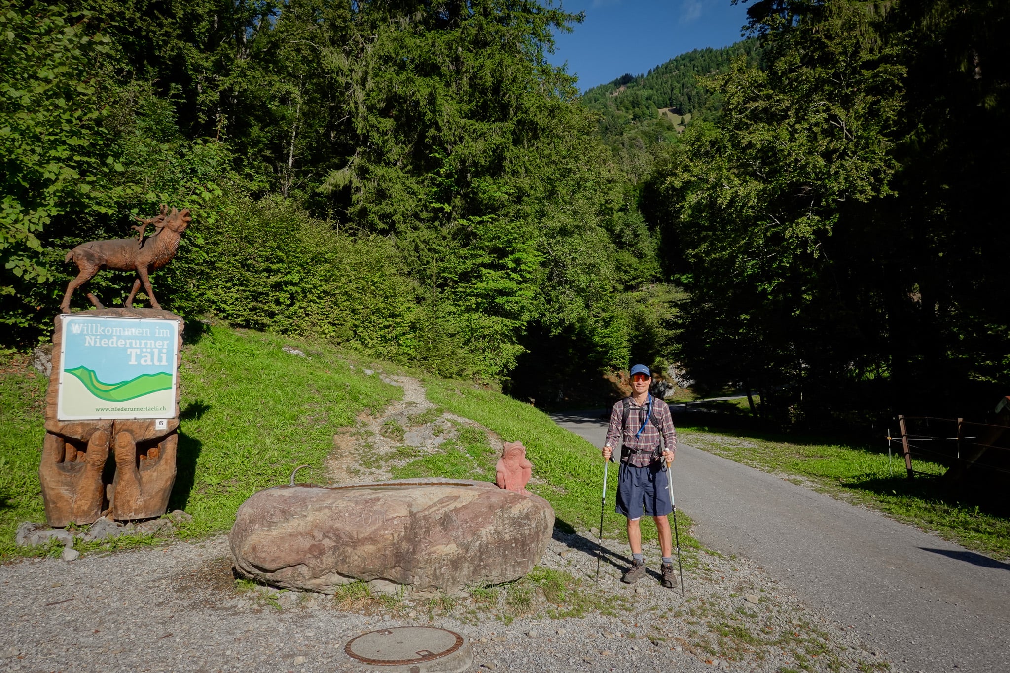
The Sculpture Trail (Der Skulpturenweg)
As the name suggests, the Sculpture Trail includes several sculptures. Specifically, you can find 40 animal and mythical sculptures along the route. You'll see many of these sculptures during the initial steep ascent.
Eventually, you'll leave the Sculpture Trail and continue along the shared trail of the Hirzli Planggenstock Hike and the Hirzli Rundweg.
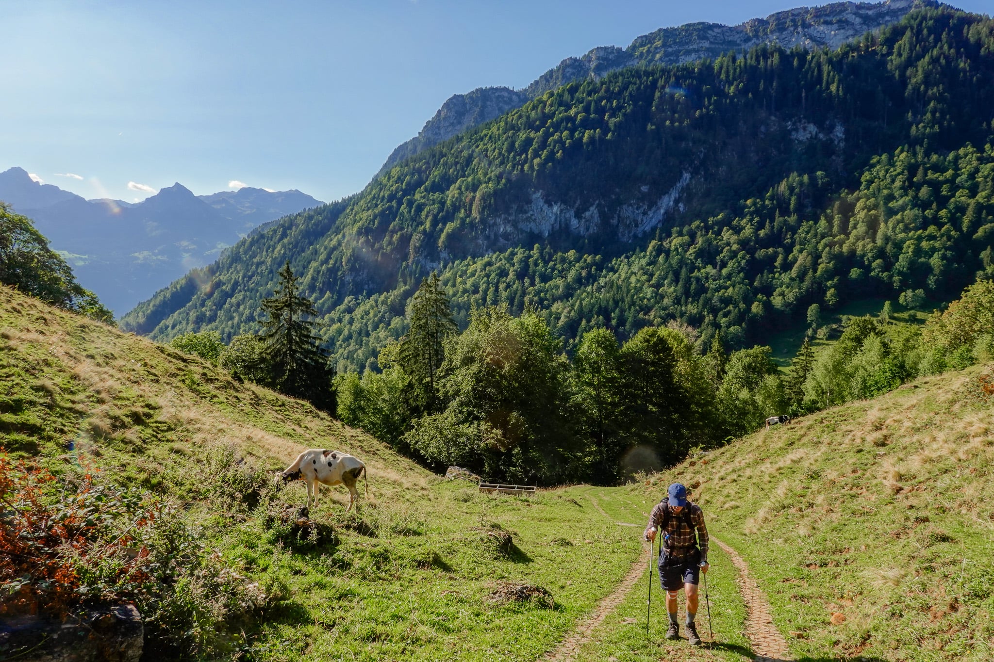
Hirzli
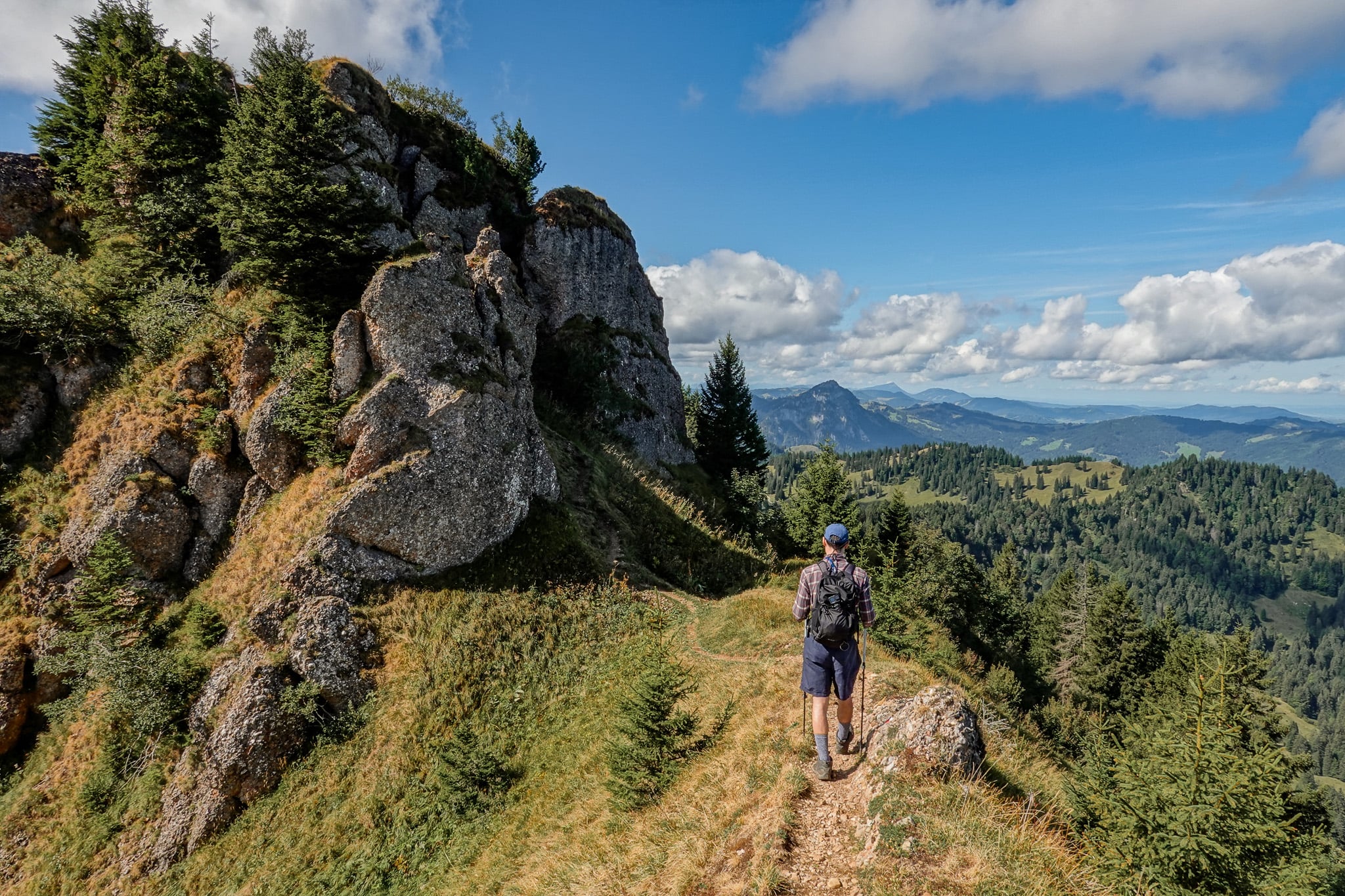
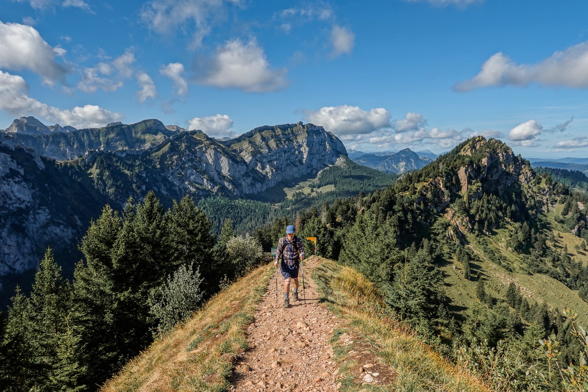
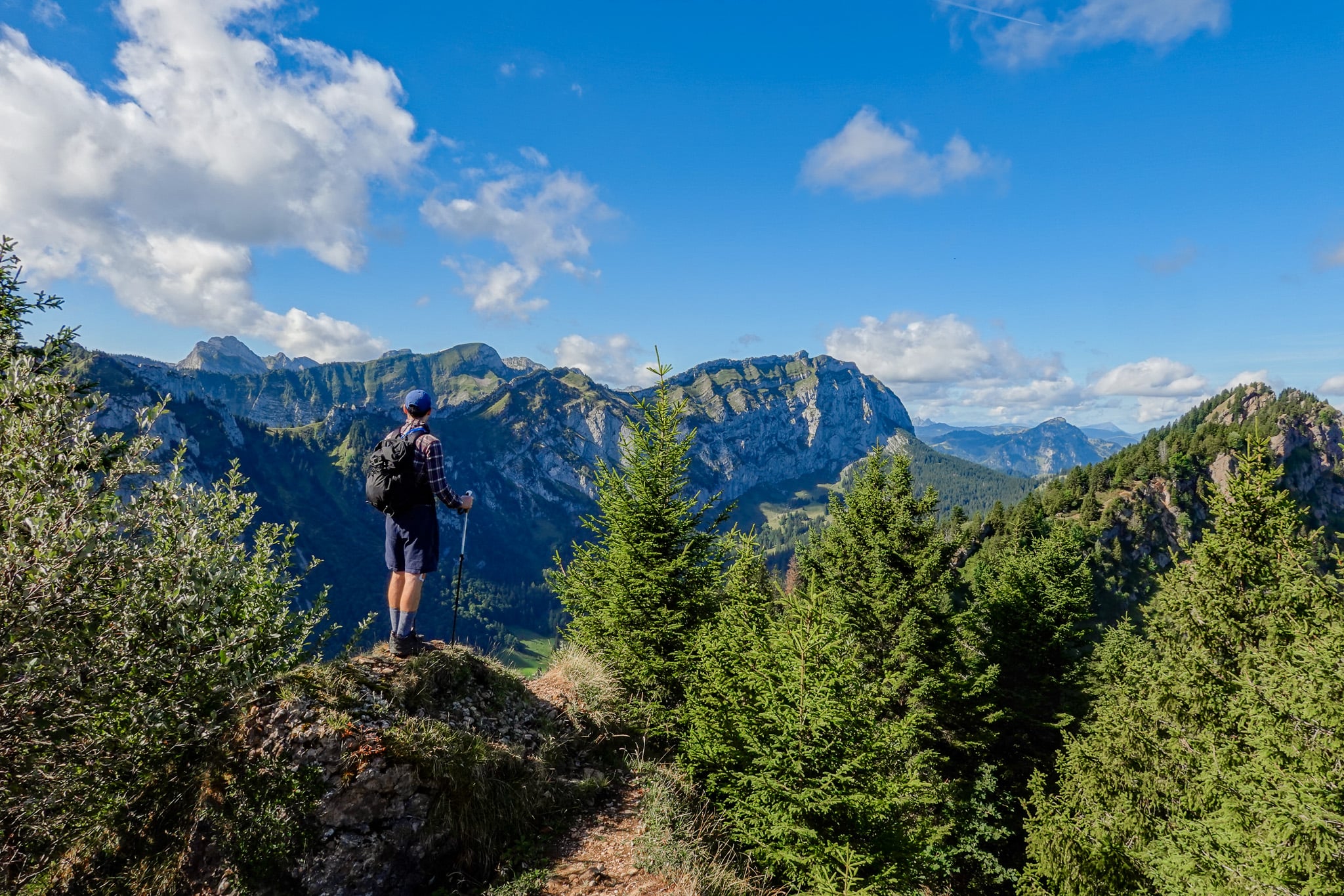
A series of zig-zagging switchbacks soon leads you to the peak of Hirzli and its epic ridge. Walking along this ridge is definitely a highlight of the hike.
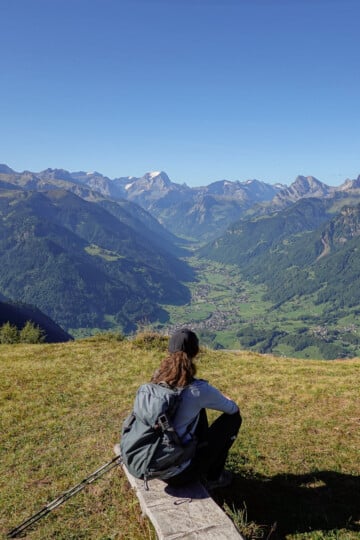
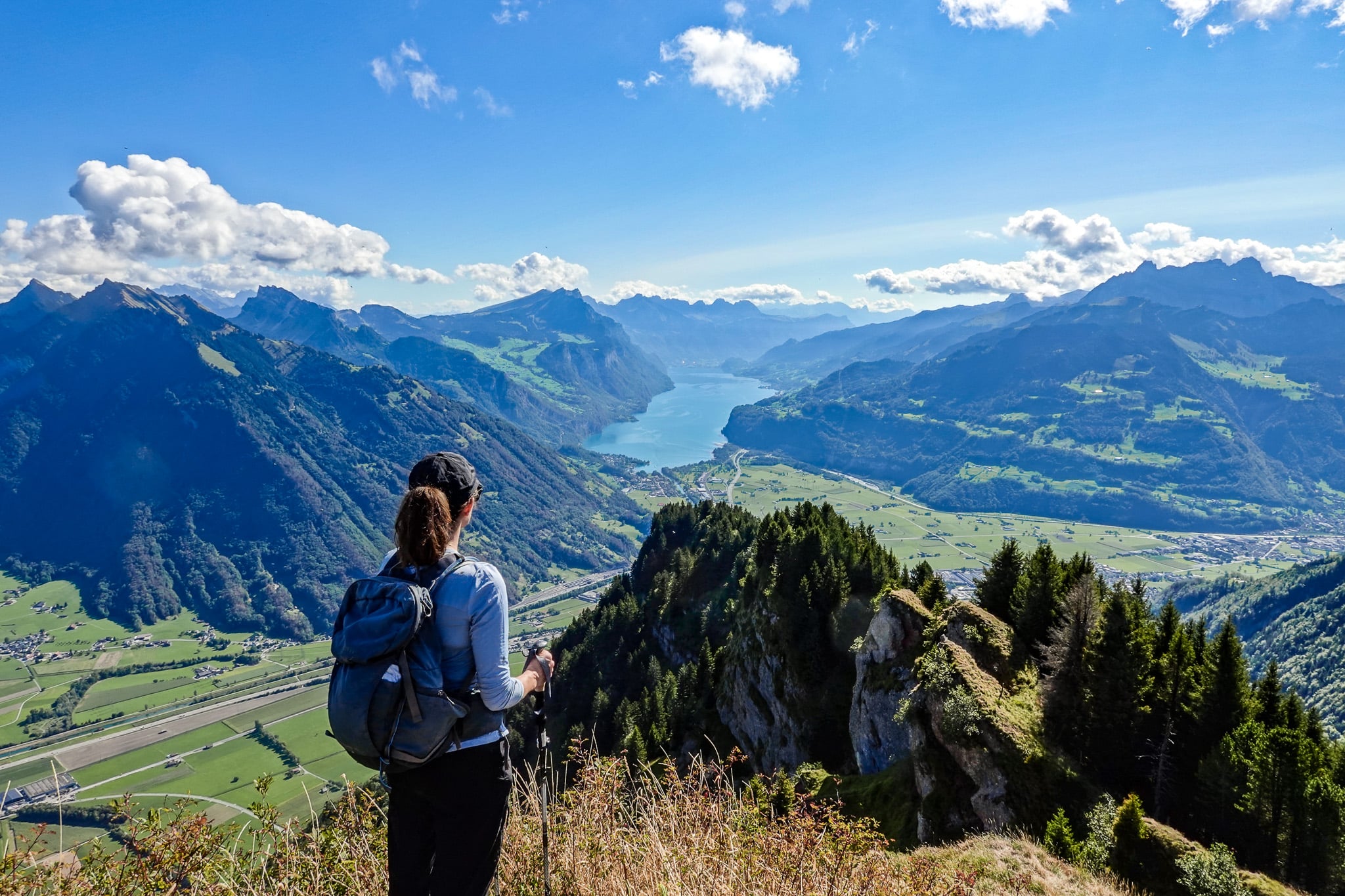
From Hirzli, you'll enjoy mouthwatering views of Walensee (Lake Walen). This is the best viewpoint along the entire hike.
Planggenstock
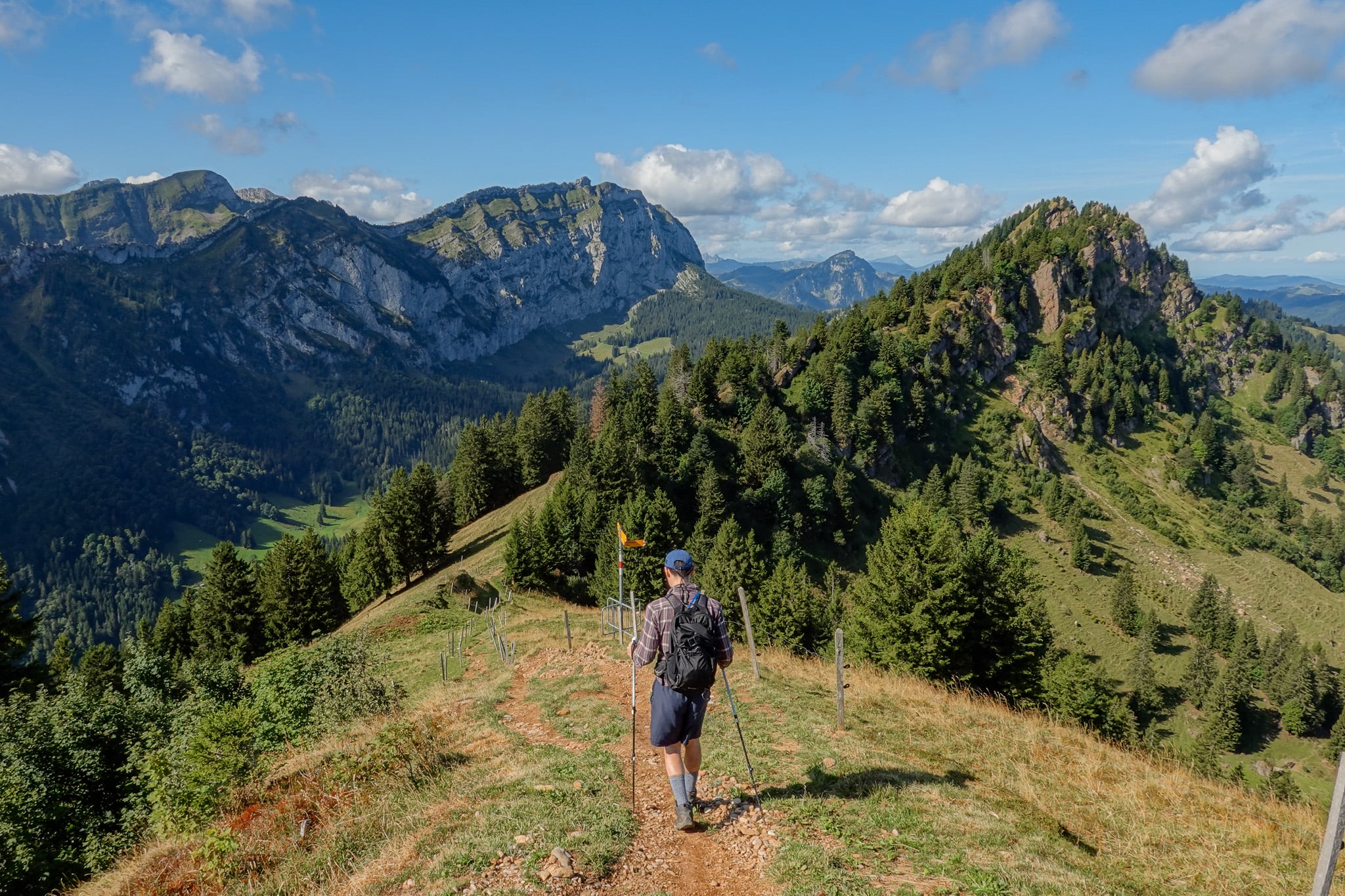
After descending Hirzli, you'll leave the Hirzli Rundweg and continue along the magnificent Hirzli-Planggenstock ridge. Navigating the ridge is an exhilarating part of the walk.
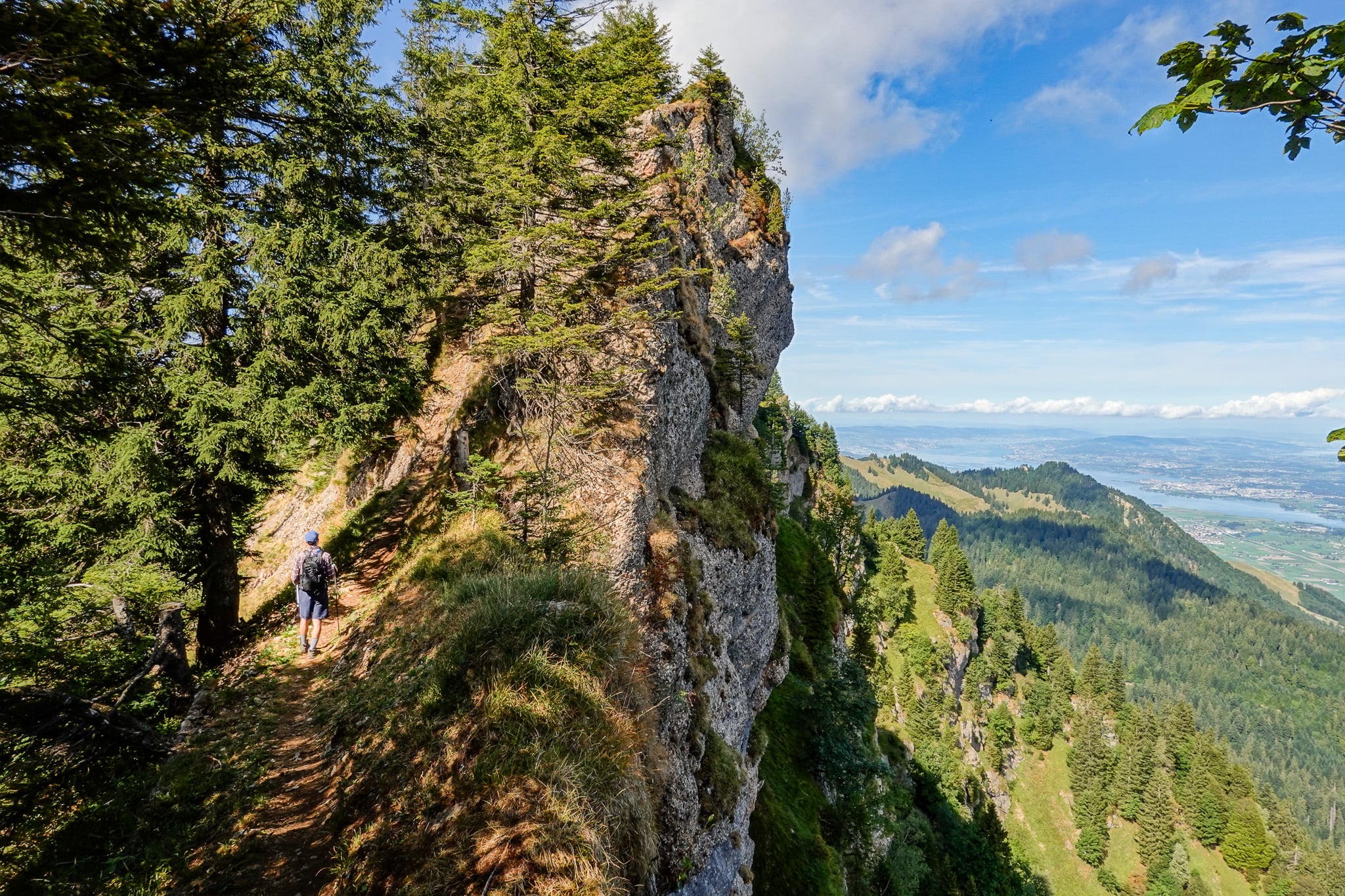
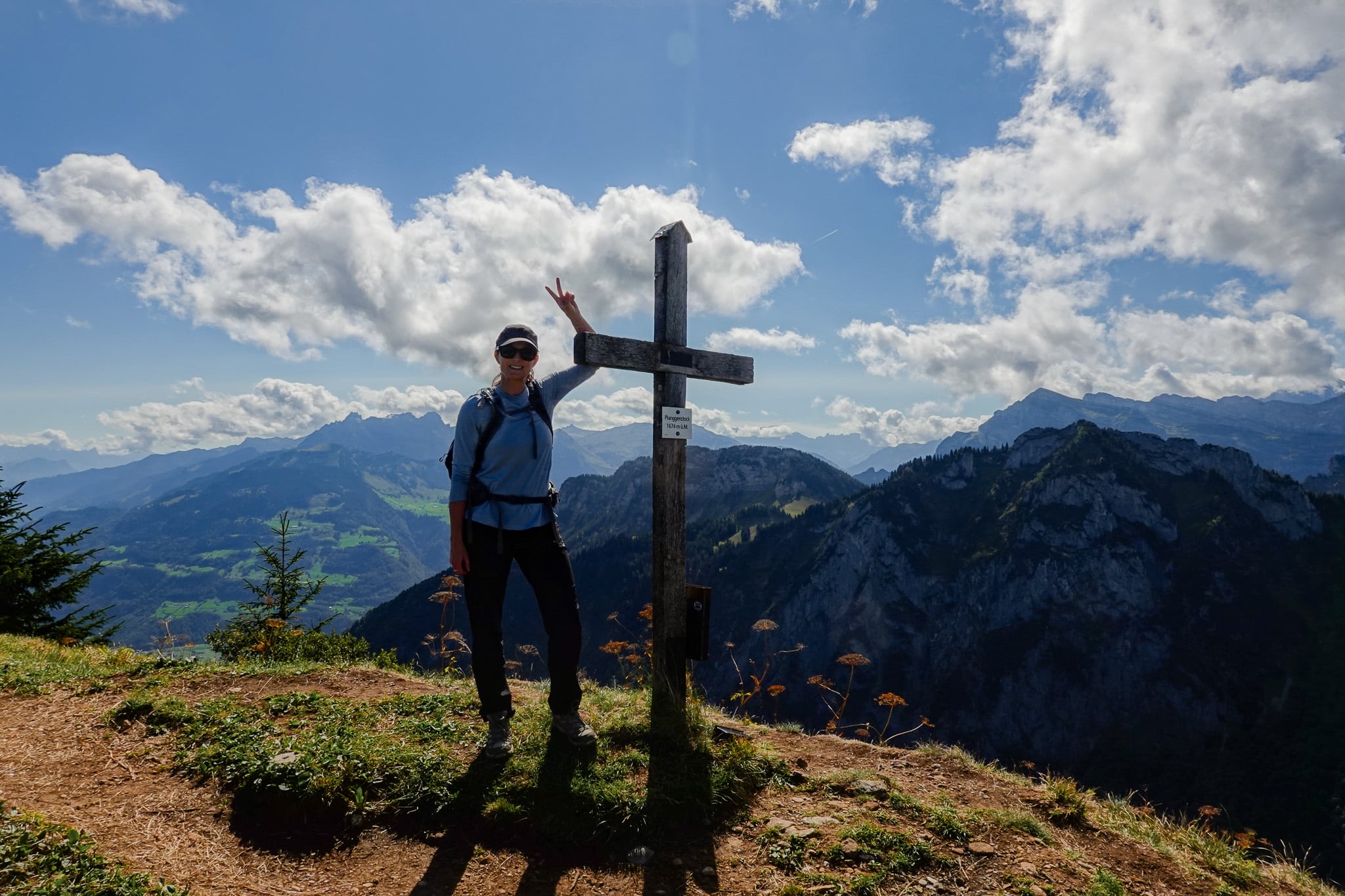
Eventually, you'll reach the peak of Planggenstock. In one direction, you'll enjoy views of Hirzli and Walensee. In the other direction, you'll catch a glimpse of Zurichsee (Lake Zurich) and the glorious Glarus Alps.
After descending Planggenstock, you'll soon rejoin the Hirzli Rundweg. This will take you down to the floor of the Niederurnen Täli (Niederurnen Valley).
Niederurnen Täli
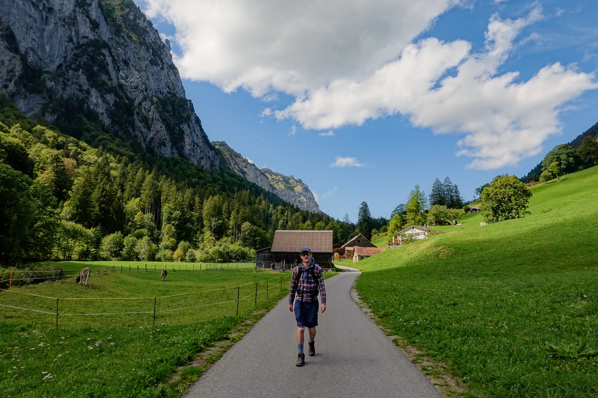
A rough descent soon gives way to a paved trail that meanders along the valley floor. Along the valley floor, you'll feel truly dwarfed by the surrounding mountains.
Bergrestaurant Hirzli
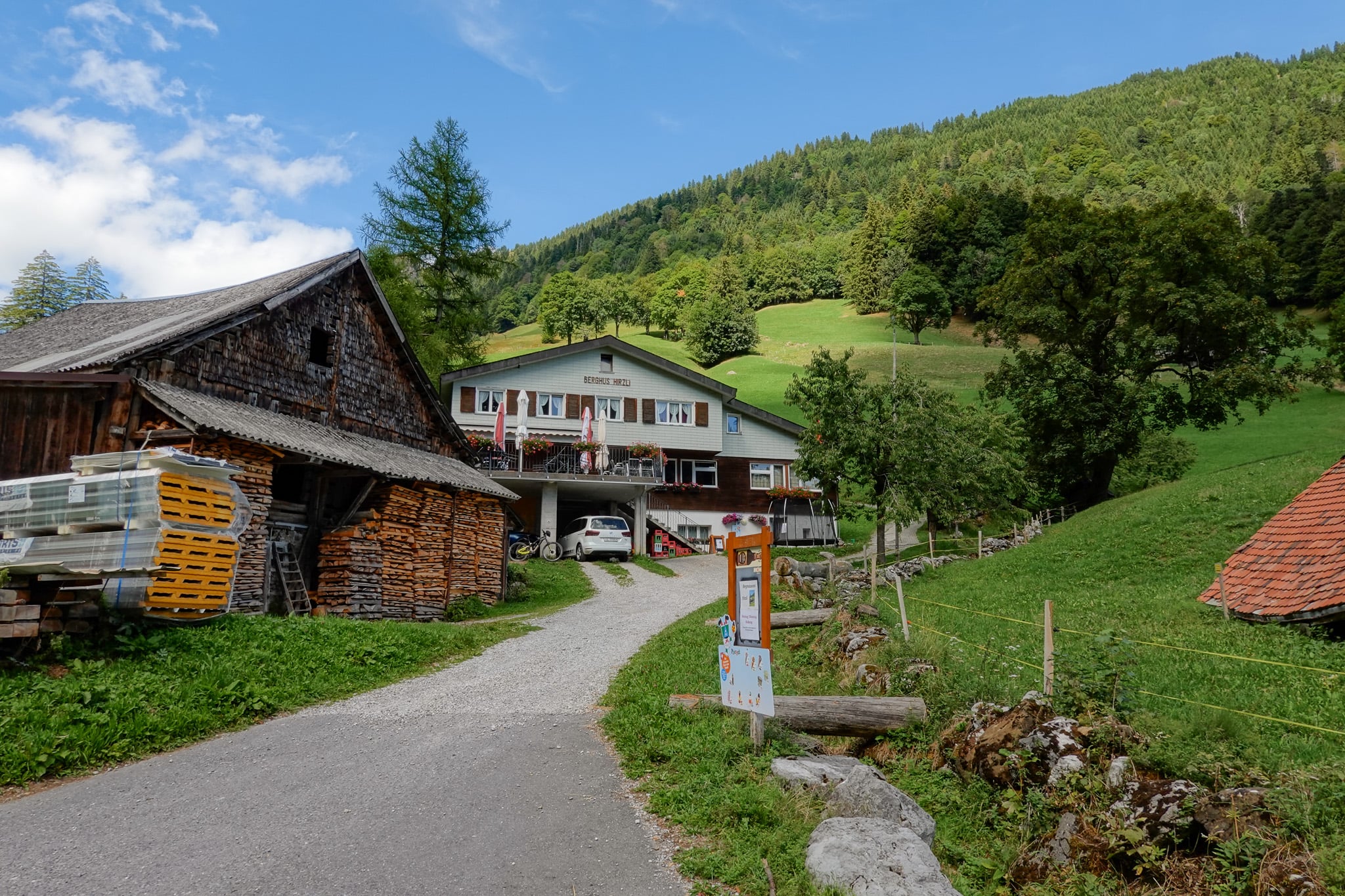
About 1km before you reach the Morgenholz Cable Car Station, you'll pass Bergrestaurant Hirzli. This is the ideal place for a meal/drink along the walk.
Unfortunately, the restaurant was closed when Beck and I hiked on a Tuesday. So, we strolled on past and back to the cable car station to complete the hike!
For the latest opening hours, check the restaurant's official website.
Where to Stay Nearby
If you're exploring Glarnerland, you can really stay anywhere in the canton of Glarus. Personally, we stayed in Filzbach in Glarus Nord, and can highly recommend this quaint, quiet village.
To find your perfect stay in Glarus, we recommend using Booking.com.
Hirzli Planggenstock Hike FAQs
Hopefully, these FAQs cover any other questions or curiosities you have about this hike.
How Much Does Parking Cost?
When we visited, parking at the Niederurnen Cable Car Station Car Park was free. Bear in mind, the roadside parking area nearest the station has limited space (approx. 15 spaces). Thankfully, there are other parking areas nearby.
Check local signs for parking parameters. When we visited, it was free parking for up to 8 hours (Monday to Saturday, 7am to 7pm). The cable car station staff told us to display a parking disc (blue zone disc) to show the time of arrival. We weren't sure whether our car hire included one, but a friendly hiker had a spare and let us use it.
If you hire a car, make sure the rental company provides one. Otherwise, if your rental car is missing one, you can easily buy an official blue parking disc for a small fee at any Swiss petrol station, kiosk, bank or tourist office.
How Much Does The Cable Car Cost?
For the latest timetable and costs, head to the official website. Personally, Beck and I paid CHF 10 per person, each way.
You can hike between Niederurnen and Morgenholz to avoid the cable car. But that adds an additional 10.6km of hiking (5.3km there and back). Plus, around 520 metres of elevation gain and then descent. And that's on top of a fairly substantial amount of accumulated elevation gain involved in the Hirzli Planggentock Hike. So, we don't recommend it!
Can I Use the Swiss Travel Card For The Cable Car?
No, unfortunately, the Swiss Travel Card doesn't provide any discount for the Niederurnen-Morgenholz cable car ride.
Can I Use the Glarnerland Pass For The Cable Car?
No, unfortunately, similarly, the Glarnerland Pass doesn't provide any discount for the Niederurnen-Morgenholz cable car ride either.
FYI – you qualify for this pass by staying at a commercial accommodation in the canton of Glarus for at least one night. Not that it matters, given the lack of discount for this cable car!