Muttenchopf, Limmernsee Hike: How to Get to This Epic Lookout
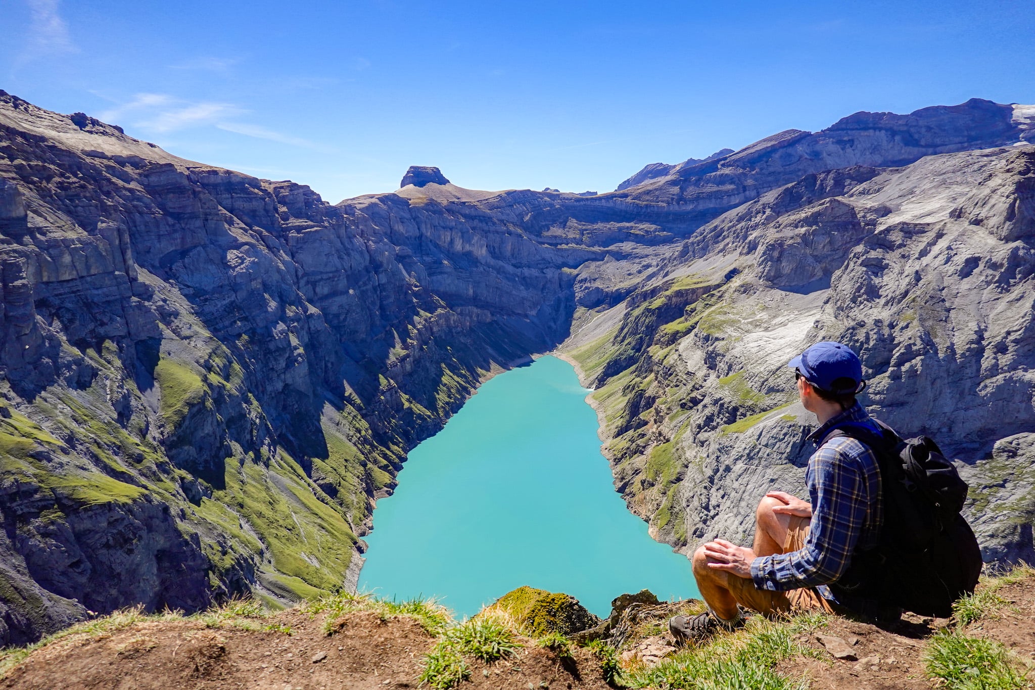
The Limmernsee Hike is fast becoming one of Switzerland's most popular hikes. That's mainly because of the epic viewpoint from the peak of Muttenchopf, which overlooks Limmernsee.
Given its popularity, many blog posts have already been written about the hike. To provide a point of difference, we'll outline the most important things to know about doing the hike and reaching the viewpoint before you go.
By doing so, we hope this guide answers any questions or curiosities you may have about the Limmernsee Hike and the Muttenchopf lookout. Adventure mode on!
Table of Contents
What Is Muttenchopf?
At approx. 2,480 meters above sea level, Muttenchopf is a peak in the canton of Glarus (Glarnerland) in eastern Switzerland. The peak offers an incredible viewpoint of Limmernsee (Lake Limmern).
Photo and video content of the mind-blowing views from Muttenchopf have been circulating on social media for a little while now. It means more and more people are accessing the peak.
To reach the peak's viewpoint, you'll need to hike up there! There are a few hiking route options, but the most common and logical option is doing a circular walk called the Limmernsee Hike.
What Is the Limmernsee Hike?
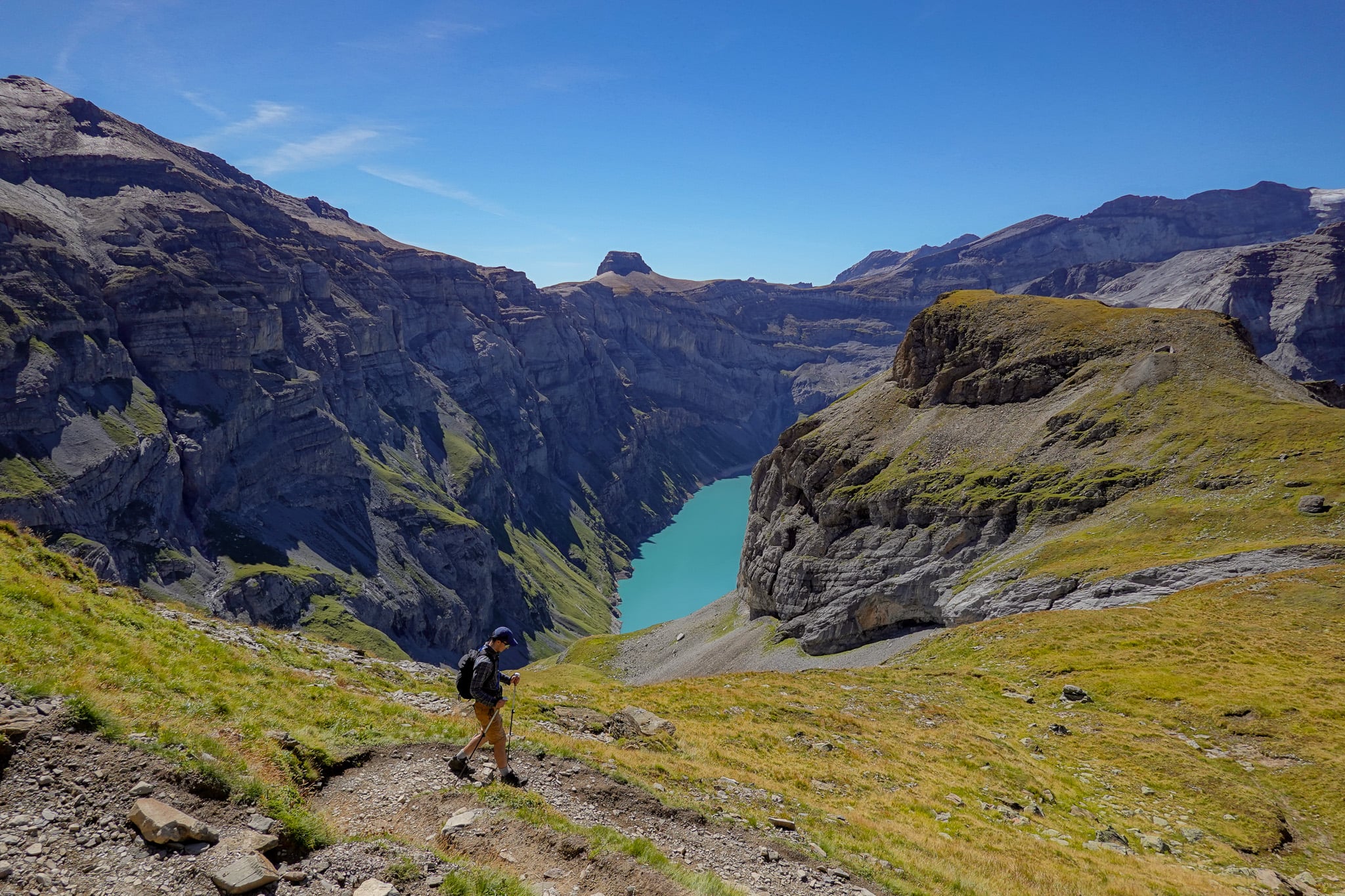
The Limmernsee Hike is a circular hike that includes a visit to Limmernsee via the mountain refuge called Muttseehütte (AKA Muttsee Hut). During this hike, there is an out and back side trail option to reach Muttenchopf, to enjoy arguably the best viewpoint of the lake.
Below is a breakdown of the main trail specs related to the Limmernsee Hike, which includes the out-and-back to Muttenchopf.
- Type: Loop
- Distance: 11.9km
- Time: 5 hours
- Accumulated elevation gain/loss: 820m
- Trailhead: Kalktrittli Mountain Cable Car Station
- Difficulty: Hard (T3)
- Map: AllTrails
Is It Best as a Day or Overnight Hike?
You can do the Limmernsee Hike as an overnight hike by staying at Muttseehütte (booking details). Sure, an overnight hike could be a fun experience. But Beck and I did it as a day hike, and most people will do it that way.
We think the hike is best done as a day hike, arguing that an overnight stay at Muttseehütte may be unnecessary.
How Hard Is the Limmernsee Hike?
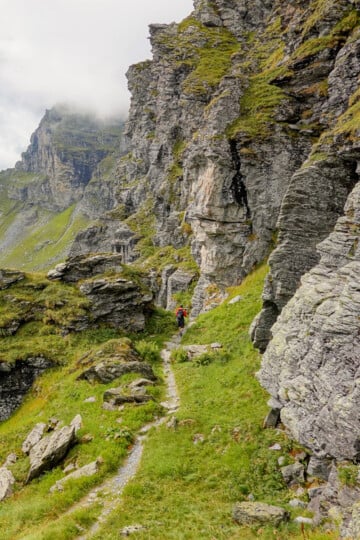
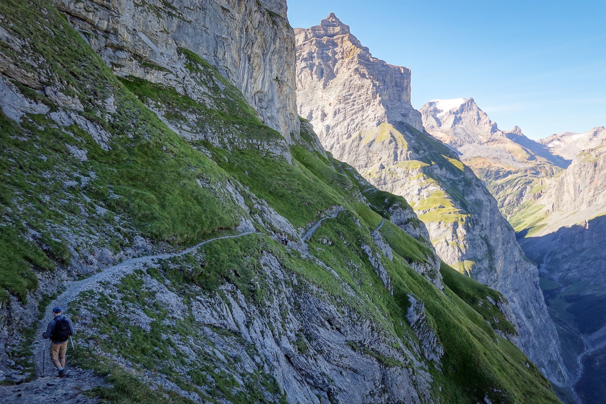
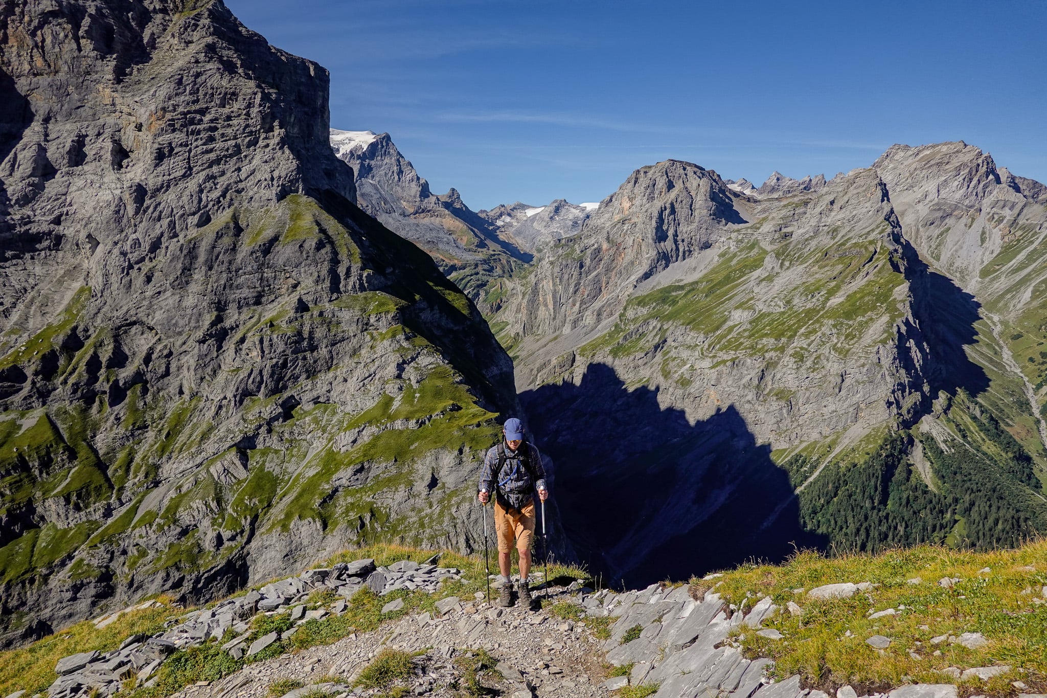
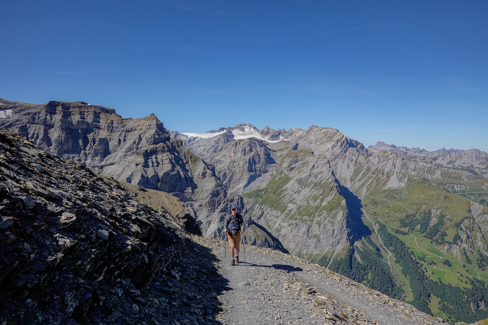
Personally speaking, we think the Limmernsee Hike is hard. That's mainly due to the physically demanding ascent of over 800 metres. But the trail itself isn't technical at all.
The Swiss Alpine Club (Lindenberg) has rated this hike as T3 difficult mountain hiking. This generally means the hike has the following characteristics and requirements.

How Long Does the Hike Take?
This really depends on your hiking speed. On average, it takes about five hours to complete the Limmernsee Hike, including the trip to Muttenchopf.
Where Is Muttenchopf and Limmernsee?
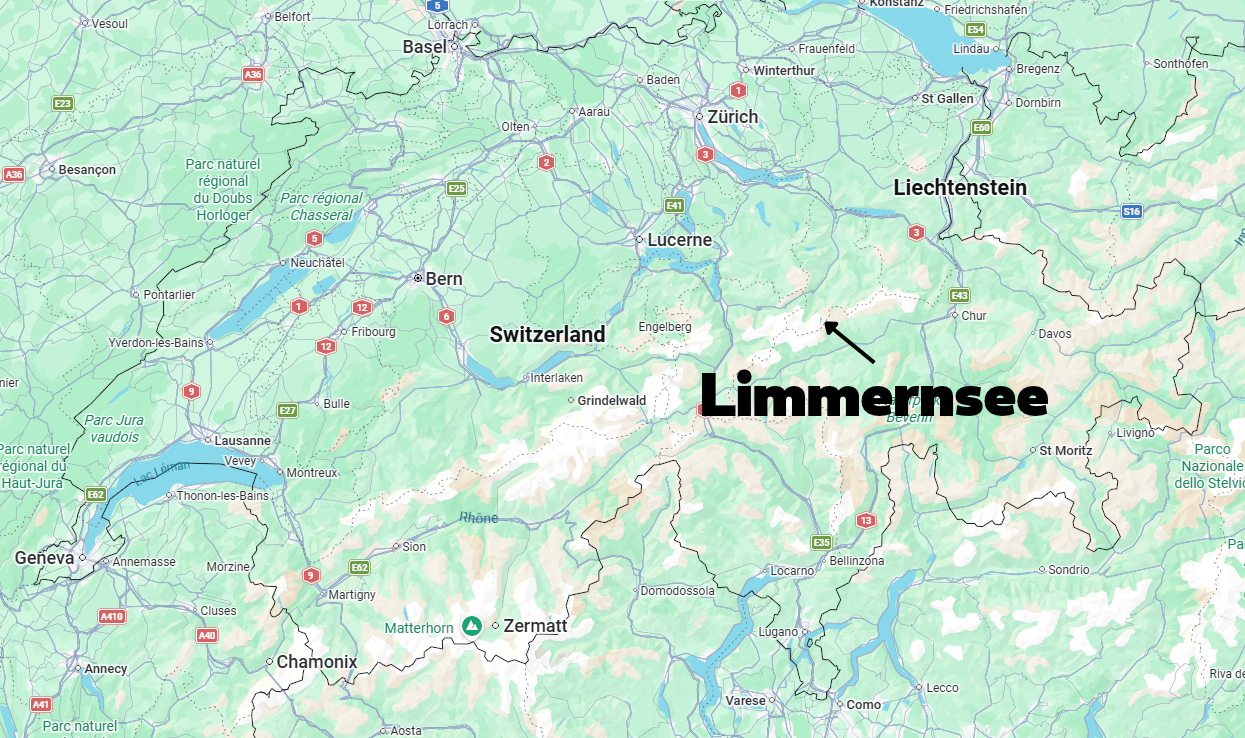
Muttenchopf and Limmernsee are in south Glarus (Glarus Süd) in the canton (state/county) of Glarus, which is also known as Glarnerland (the historic name of the region). The peak and the lake are located near the border of the cantons of Glarus and Grisons.
Is Muttenchopf and Limmernsee Close to Zurich?
From Zurich, it takes around 90 minutes to drive to the starting point (car park) of this adventure. Reading the section below will help it make a bit more sense.
How to Do the Limmernsee Hike?
Follow these simple steps to do the Limmernsee Hike via Muttenchopf.
- Arrive at the Tierfehd Valley Cable Car Station
- Catch the cable car (gondola) [Luftseilbahn Tierfehd - Kalktrittli] from the Tierfehd Valley Cable Car Station to the Kalktrittli Mountain Cable Car Station
- Complete the circular Limmernsee Hike via Muttenchopf
- From the Kalktrittli Mountain Cable Car Station, catch the cable car back down to the Tierfehd Valley Cable Car Station
Below, we'll elaborate on these steps.
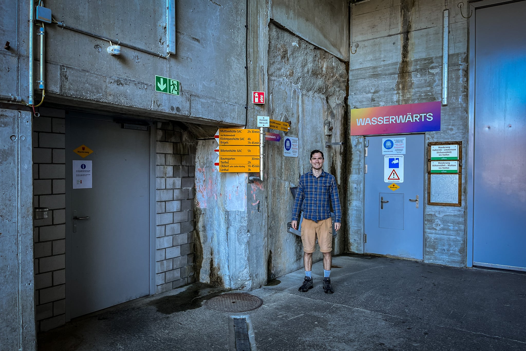
How to Get to Tierfehd?
You'll need to drive or get a taxi, as no direct bus service runs all the way to the Tierfehd Valley Cable Car Station.
We hired a car from Zurich Airport for our Glarnerland hiking trip. So we drove there and recommend doing the same for the ultimate convenience.
Car Hire

If you don't have your own car, you should hire one using Discover Cars. Personally, we use Discover Cars and highly recommend them for finding your ideal car hire at an affordable price. Booking online is super easy and the free cancellation policy is great.
To find out more about renting a car with Discover Cars, read our Discover Cars review and Discover Cars Insurance review.
Where Do You Park?
A large car park is available at the Tierfehd Valley Cable Car Station. Around the corner from this car park, there is a smaller overflow car park, while there is also some free roadside parking opposite the station.
The parking areas can fill up quickly, especially on weekends and during Summer. We recommend arriving early, around the time the cable car begins operating (usually 7am), to ensure a spot.
Is Parking Free?
Yes, parking is free.
Can You Use Public Transport to Get There?
Because no bus service runs to the Tierfehd Valley Cable Car Station, you would have to get a train to Linthal station and then walk approx. 6.5km to the valley station (and back).
What Are the Cable Car Operating Hours?
The Luftseilbahn Tierfehd - Kalktrittli (Tierfehd - Kalktrittli cable car) only operates from roughly mid-June to mid-October.
The opening hours are generally as follows:
- Monday to Friday: 7am–12pm | 1pm–6pm
- Saturday and Sunday: 7am–6pm
Bear in mind that the cable car doesn't operate mid-week between 12pm and 1pm.
Check the official website for the most up-to-date opening times and operating hours. This up-to-date information is also usually shown on the official Glarnerland and Braunwald tourism websites.
How Much Does the Cable Car Cost?
Check the official website for the most up-to-date information about cable car ticket prices. We paid CHF 20 each for a return trip. We paid by card at the ticket machine.
How Long Does the Cable Car Take?
The cable car is relatively quick, taking around 7.5 minutes.
Bear in mind, the cable car takes only eight people per ride and runs on a self-service system. Again, we suggest getting there at opening time (7am) to avoid a potentially long queue and wait.
Do the Hike Clockwise or Anticlockwise?
To help get your bearings, here is a map of the Limmernsee Hike.
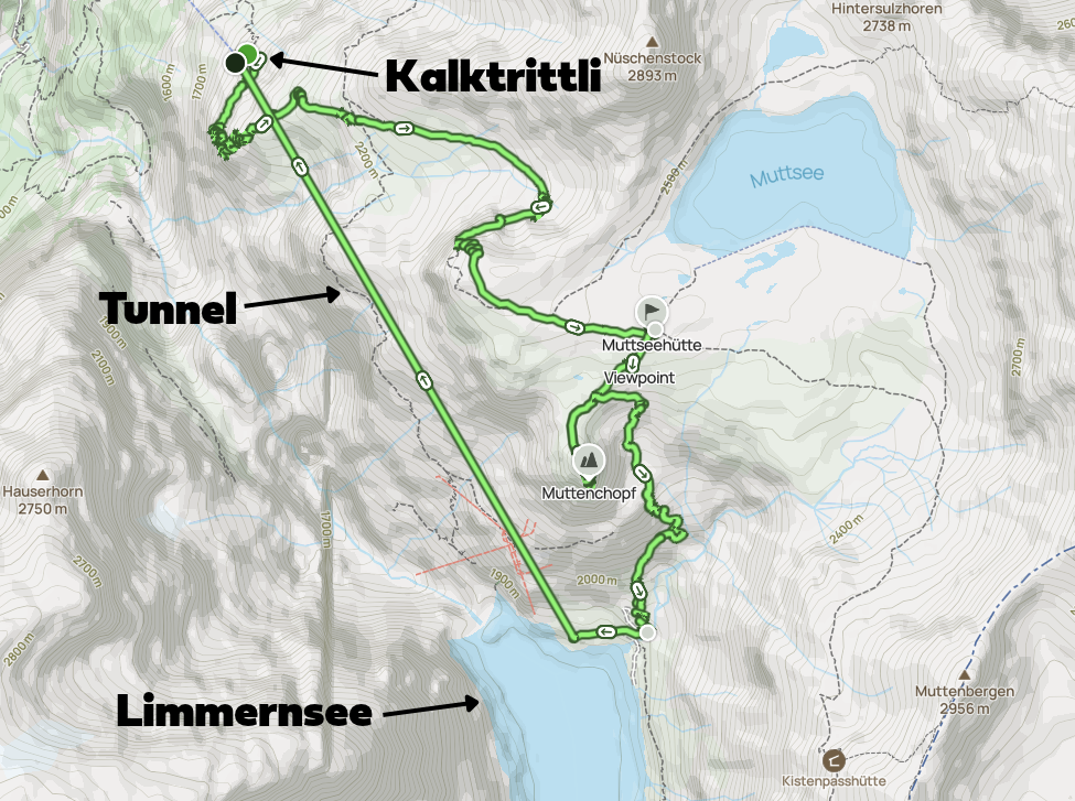
We found most blog posts suggest doing the Limmernsee Hike anti-clockwise, meaning you'll do the tunnel hike first.
Interestingly, when we arrived, everyone on our cable car set off in a clockwise direction.
At the end of the day, the direction doesn't really matter as it's a circular hike.
Personally, we suggest doing the hike clockwise for one main reason.
By going clockwise, you'll face Limmernsee during the descent. This means you'll get excellent views of the lake throughout the descent.
In contrast, if you go anticlockwise, you'll hike away from the lake during the ascent and see no views of the lake on the descent.
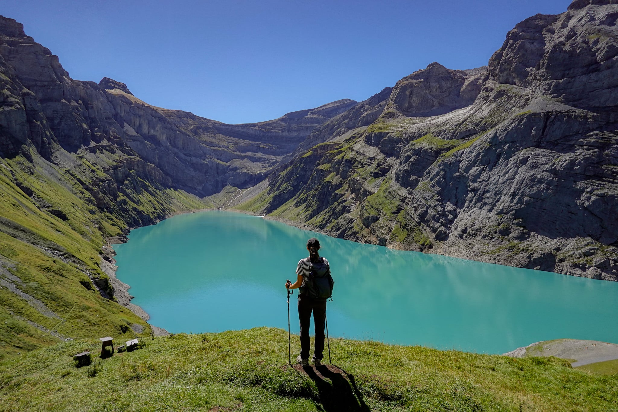
What Are the Highlights of the Limmernsee Hike?
By hiking clockwise, you'll visit these attractions in this order:
- Muttsee
- Muttseehütte and Muttseehütte Viewpoint
- Muttenchopf
- Limmernsee Shore
- Limmernsee Staudamm
- The Tunnel
Below, we'll briefly expand upon these highlights of the Limmernsee Hike.
Muttsee
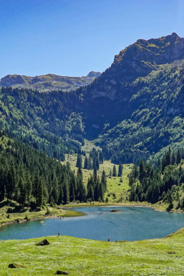
At 2,473 metres above sea level, Muttsee is Europe's highest reservoir basin! It's the upper reservoir for the Linth-Limmern hydroelectric power station.
We did this hike in early Fall after a summer full of heat waves. So when we visited, the reservoir levels had dropped, and it didn't look overly impressive (at least compared to Limmernsee).
Muttseehütte
Muttseehütte is a high-altitude Swiss Alpine Club mountain hut that overlooks Muttsee. As mentioned, you can stay there overnight if you want to make the Limmernsee hike a two-day affair. If doing so, it's recommended to book a reservation in advance.
When Beck and I passed the mountain hut, we saw a group of hikers seated outside enjoying some beers. We were certainly tempted to join in, but with the views of Muttenchopf not far away, we pressed on.
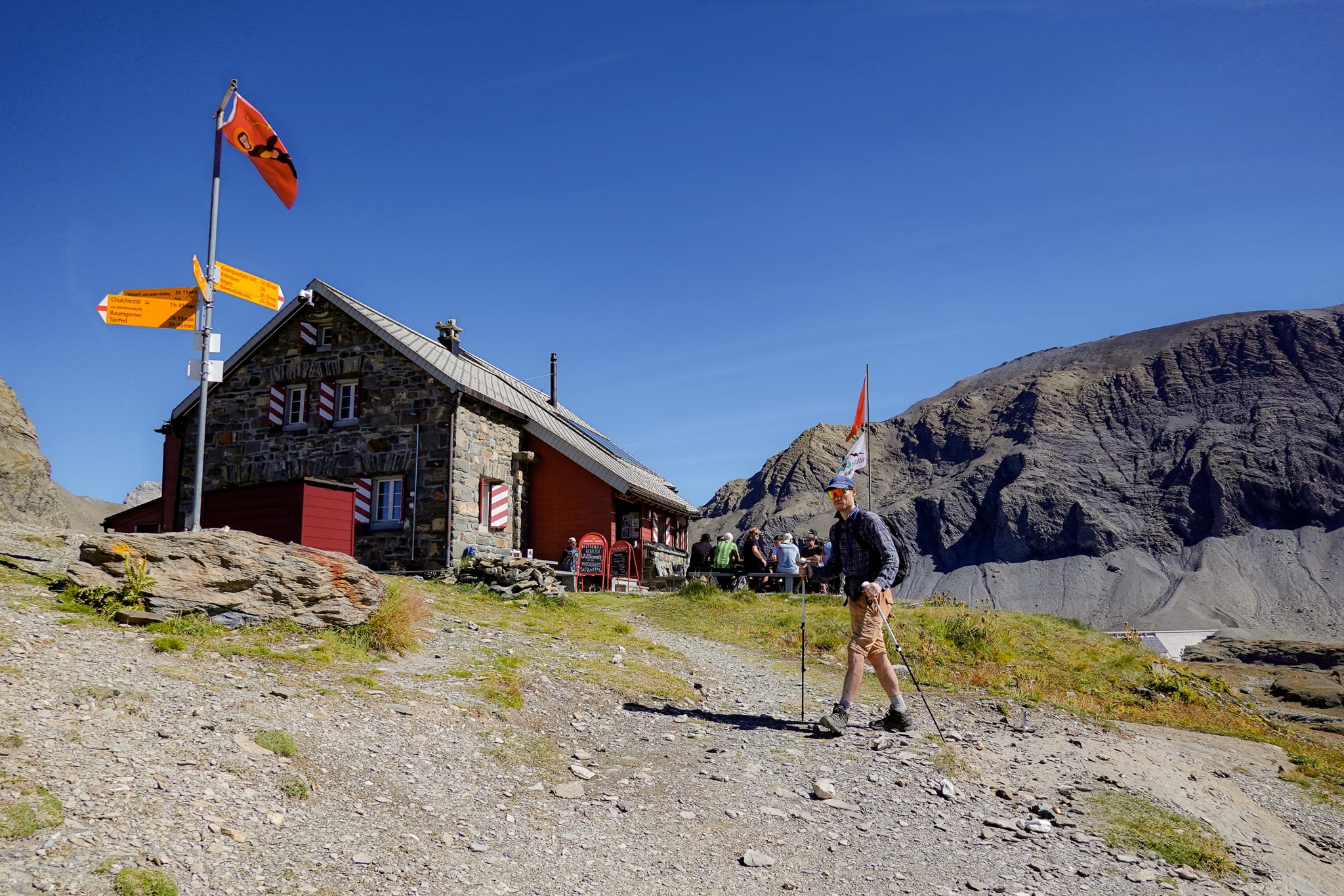
Before arriving at Muttenchopf, you'll pass a stellar viewpoint near Muttseehütte. This lookout, featuring a wooden bench and cross, provides exceptional views of Limmernsee. Although, you can't beat the views from Muttenchopf!
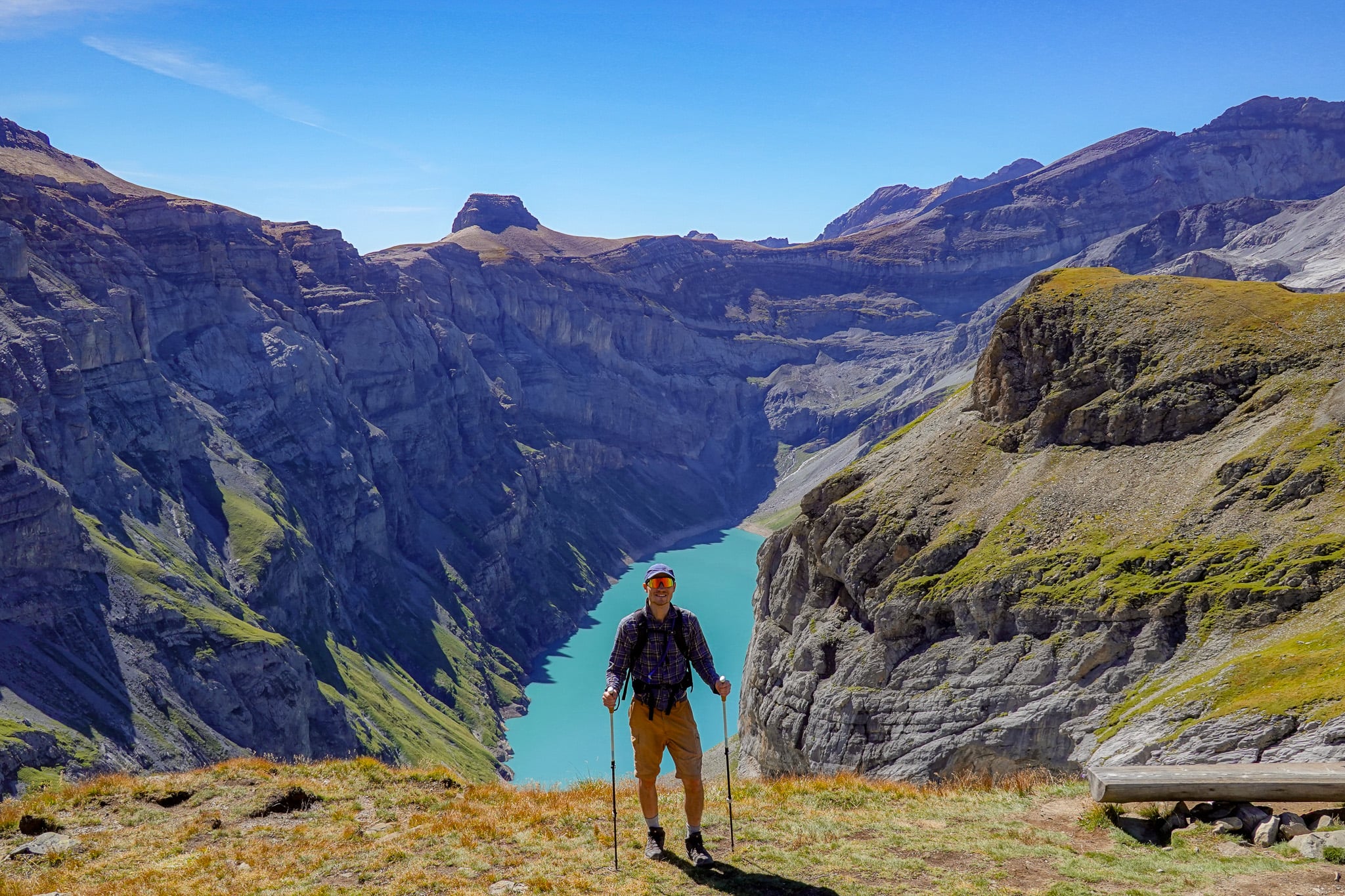
Muttenchopf: The Epic Peak Viewpoint
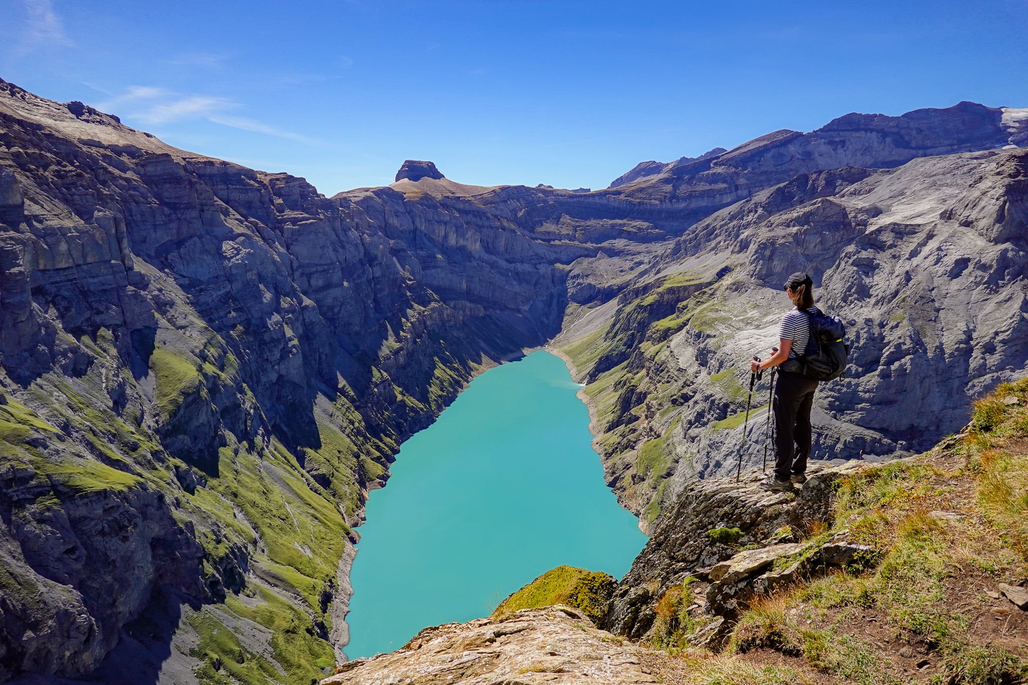
You can't do the Limmernsee Hike without doing the small out and back walk to Muttenchopf. The peak itself features a gnarly ridge. At its southernmost point, you'll meet the much-acclaimed Limmernsee viewpoint.
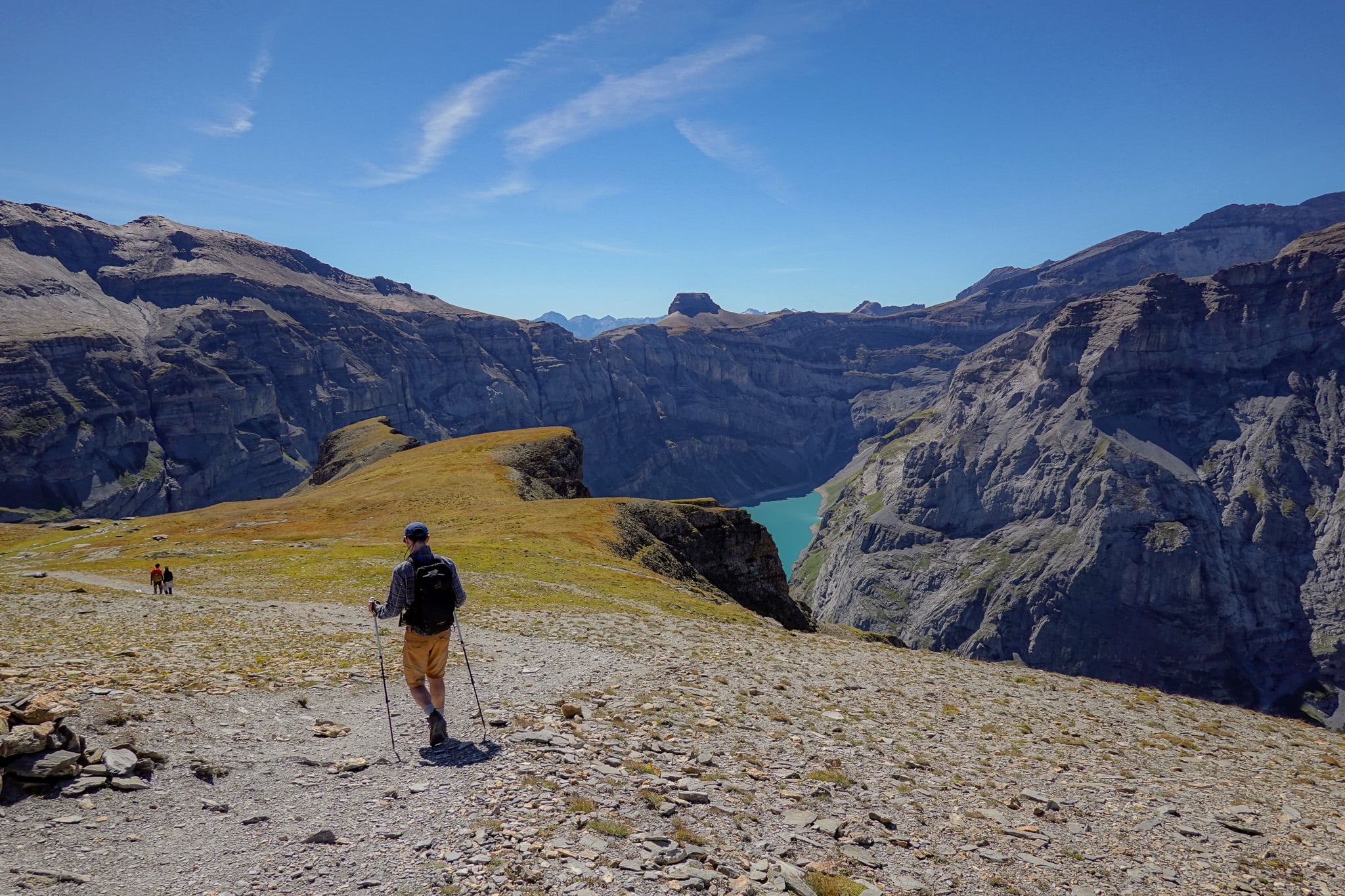
Beck and I stopped at Muttenchopf for a solid half hour to take in the views and enjoy lunch. We definitely recommend the viewpoint for a break and a meal.
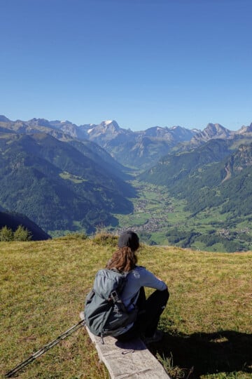
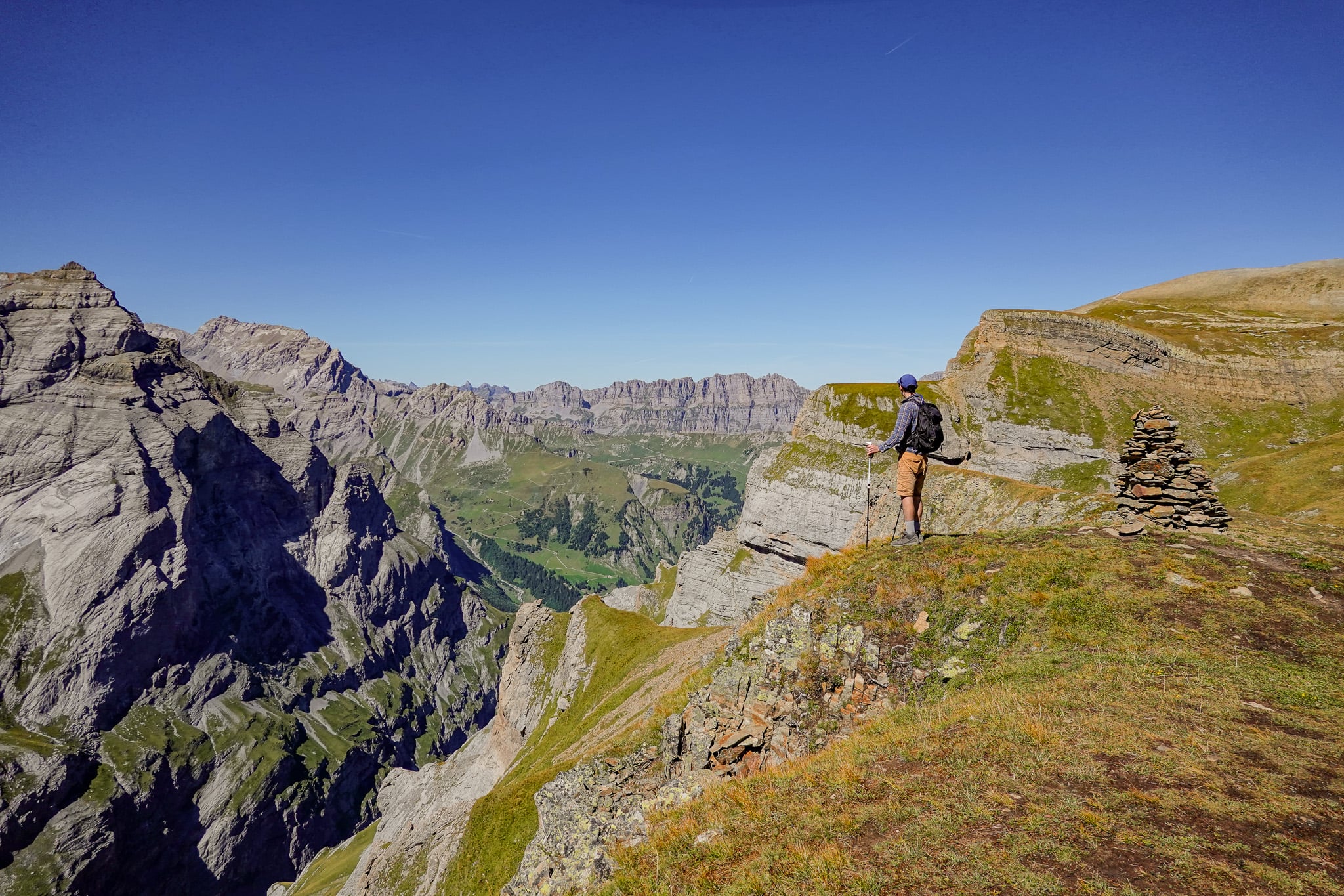
Beyond the sublime views of Limmernsee, Muttenchopf also offers far-reaching views of the surrounding Glarus Alps.
Limmernsee Shore
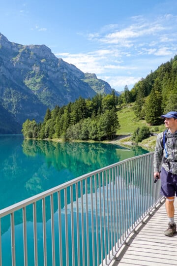
After pulling yourself away from Muttenchopf, the next major highlight is reaching the northern edge of Limmernsee. After enjoying stunning views of the lake from afar, it's enjoyable to walk along its shoreline.
Limmernsee Staudamm
From the shoreline trail, you'll enjoy views of Limmernsee Staudamm (Dam). Beck and I were satisfied with the views of the dam and didn't feel the need to visit it. But that is an option!
Once you enter the tunnel, a short detour leads to the dam if you want to walk along it.
The Tunnel
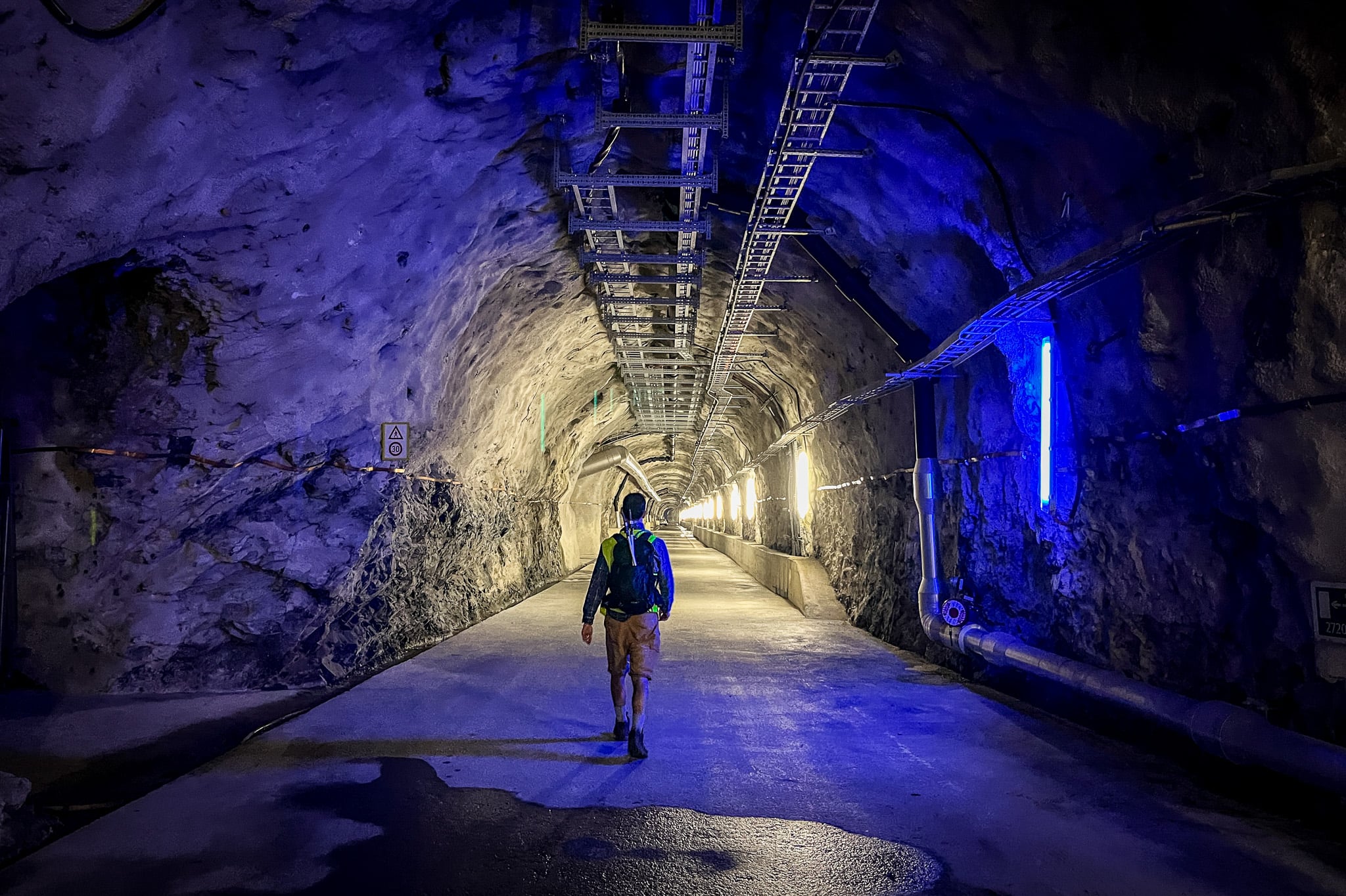
The Limmernsee Hike is also well-known for its unique tunnel section. Essentially, you'll walk through a well-lit, cold, damp 3km tunnel as part of the route. Sure, it's unique and part of the experience, but it's tedious!
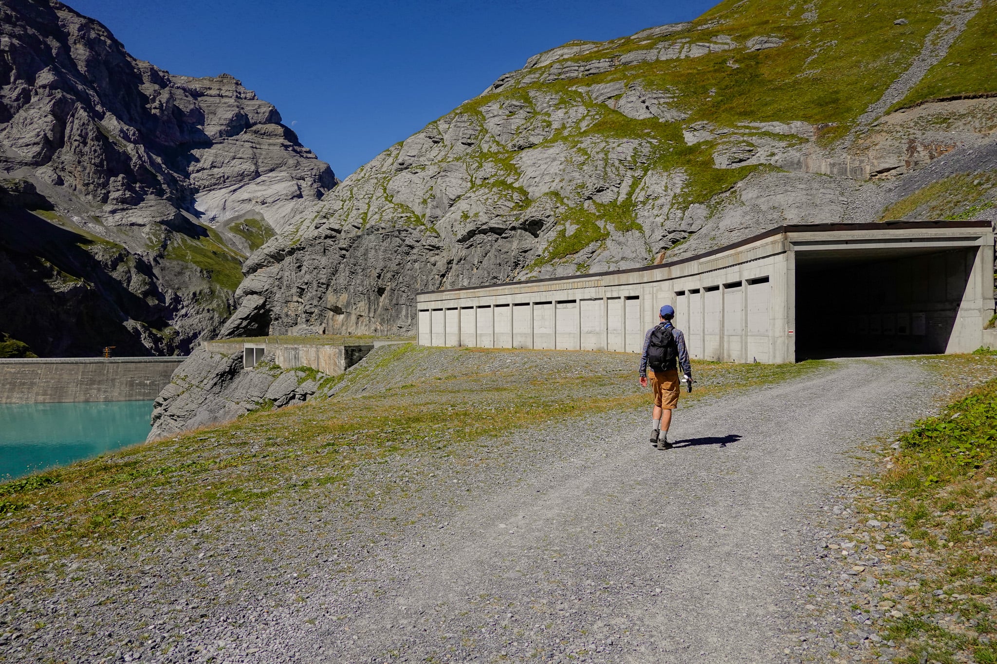
Do I Need to Take a Head Torch For the Tunnel?
No, the tunnel is well-lit. Safety jackets are mandatory in the tunnel and can be found at either end.
What's the Best Time of Day to Visit Muttenchopf?
If you visit on the weekend or during summer holidays, arrive at Tierfehd early, around 7am, when the cable car operation begins. That way, you'll avoid waiting in a long queue. That way, you can start the hike early enough to reach Muttenchopf before it gets busier.
Also, starting early means you won't feel rushed to complete the entire hike.
If you arrive later in the day, make sure you have enough time to finish before the last cable car ride heads down.
What's the Best Time of Year to Visit Muttenchopf?
The cable car only operates from mid-June to mid-October. So it's not like you have a lot of choice in the matter. By October, the mountain weather starts to get colder and wilder. But it's also quieter around this time.
Really, the most important thing is choosing a day with good visibility.
What Is the Best Swiss Weather App?
You definitely want to avoid doing the Limmernsee Hike on a day of poor weather and visibility. After all, you don't want to miss out on those stellar views from Muttenchopf.
For the most accurate weather forecast, we recommend using MeteoSwiss (the website or the app). The SRF Meteo website and app are also recommended, but the app doesn't let you change the language. So, English speakers should use MeteoSwiss.
Are You Allowed to Fly a Drone On the Hike?
From 2025, it's forbidden to fly a drone along the route. We even saw a sign along the route about this.
What's Nearby?
The nearest major natural attraction is a waterfall called Schreyenbachfall. To arrive at the base of this waterfall, you'll only need to do a short 15 minute walk from the Tierfehd Valley Cable Car Station Car Park.
The only thing is, it runs bone-dry most of the year because the Linth-Limmern hydroelectric power station diverts its water source.
However, as a result of protests, the hydroelectric power company agreed to a 45 day compromise. Every year, between 18 June and 2 August, the company 'turns on' the waterfall by preventing the diversion of the water source.
We visited the area in early September, so we missed Schreyenbachfall in all its glory. We did catch a glimpse of a trickle as we drove by and also from a distance during the cable car ride.
Of course, if you wanted to combine doing the Limmernsee Hike with a visit to Schreyenbachfall when it's at its best, you'll need to do this between 18 June and 2 August.
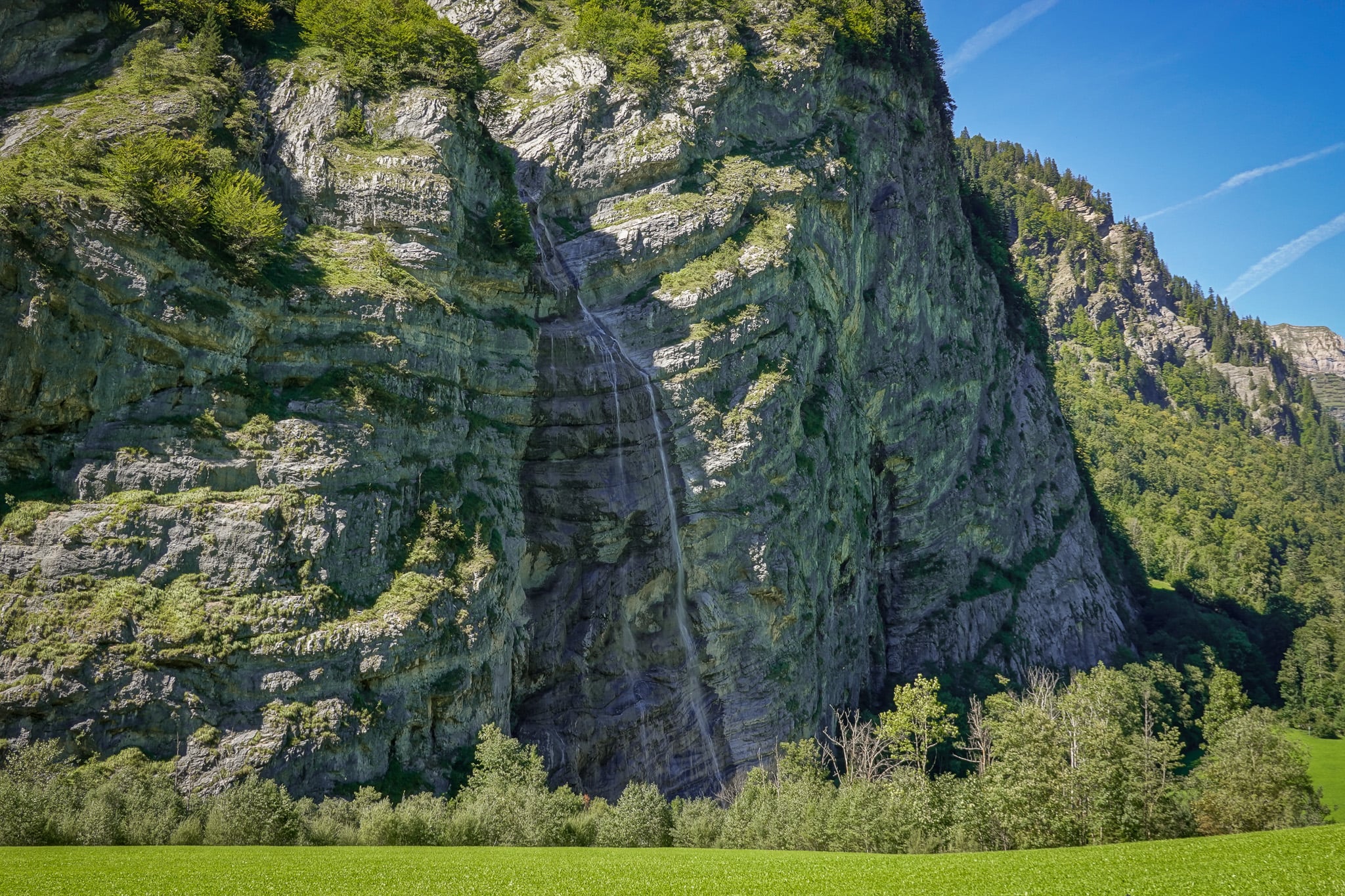
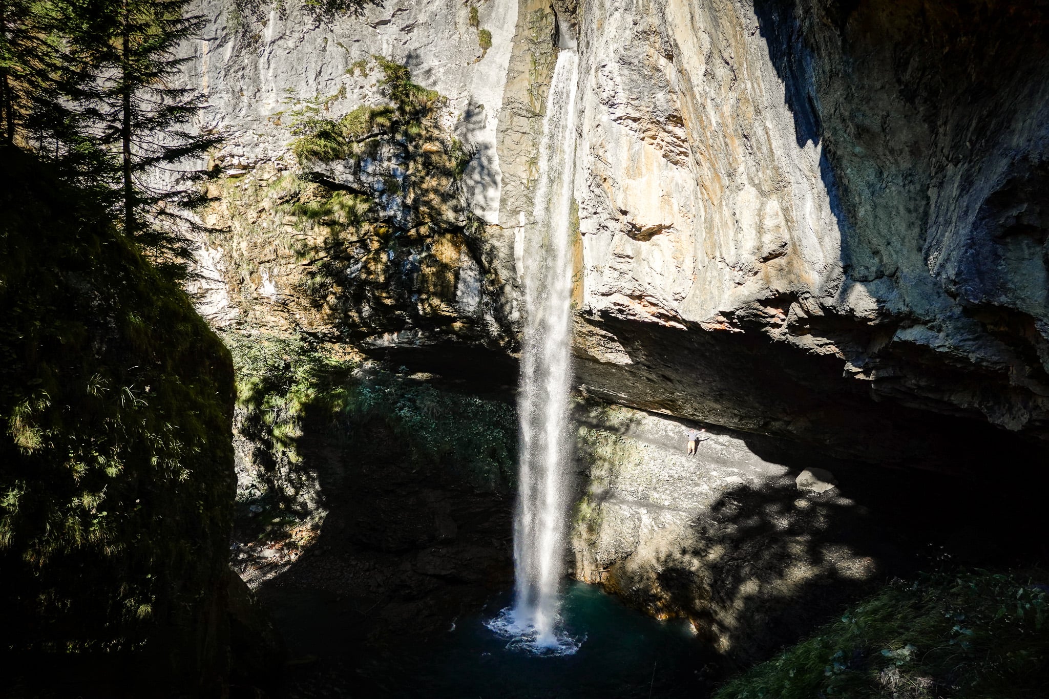
Thankfully, the Berglistüber Waterfall is only a roughly 12 mintue drive away from Tierefehd. Personally, Beck and I visited this waterfall before doing the Limmernsee Hike.
What Should I Take?
Besides the obvious (e.g., water and food), bring a jacket, even in summer when it's hot. It's quite cold and wet in the tunnel, so you'll want at least one additional warm layer to wear while you're in it.
Also, we recommend wearing shoes that are somewhat water-resistant, such as hiking boots. That's not only sensible for the hiking trail, but the tunnel is full of puddles!
Is It Worth Hiking to Muttenchopf?
Yes, absolutely! Just make sure it's a nice, clear day, and you'll enjoy phenomenal views of Limmernsee from Muttenchopf.
Is it Limmernsee or Limmerensee?
Both variations are correct and used. Limmernsee is the most common spelling and is used on most official maps and signposts.
Limmerensee is an alternative spelling sometimes seen in official SwissTopo mapping data. This variation reflects the historic names of the valley region (Limmerenboden) and the stream (Limmerenbach) that feeds the lake.
Is Limmernsee a Lake or a Reservoir?
Limmernsee does translate to Lake Limmern. For simplicity, I've used the word lake at times throughout this guide. But technically, Limmernsee is an artificial reservoir, not a natural lake.
Where to Stay Nearby?
If you want to stay nearby, you can really stay anywhere in the canton of Glarus. Personally, we stayed in Filzbach in Glarus Nord and highly recommend this picturesque, non-touristy village.
To find the perfect place to stay in Glarus, we recommend using Booking.com.