Ahornen Rundweg: Hiking at Lake Obersee in Näfels
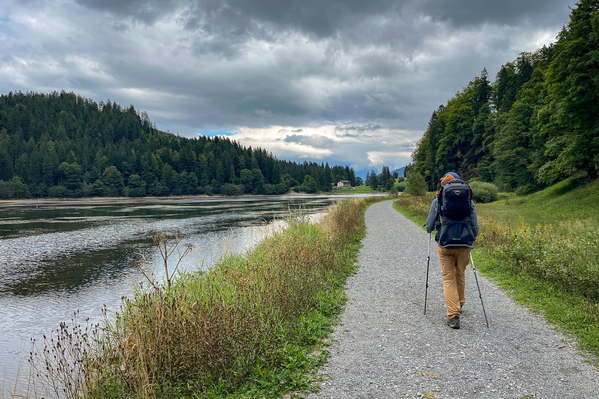
Ahornen Rundweg (Ahornen Loop Walk) is an enjoyable hike in Näfels, located in the canton of Glarus in eastern Switzerland. During the hike, you'll explore wondrous forests and green Alpine meadows in a scenic mountainous area. The hike also takes in Lake Obersee (AKA Näfels Lake Obersee), a majestic Alpine lake.
In this guide, we'll succinctly tell you everything you need to know about doing the Ahornen Rundweg.
Table of Contents
Ahornen Rundweg Hike
Ahornen Rundweg is one of the best circular trails in Glarus (AKA Glarnerland). On this hike, you'll experience diverse natural landscapes.
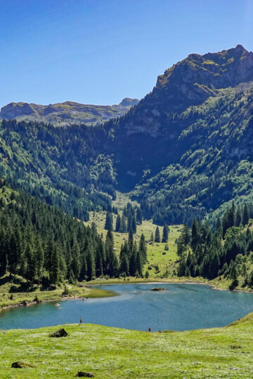
The circuit includes pinewood forests, Alpine meadows, and a spectacular valley. It also takes in Lake Obersee, a gorgeous Alpine lake. This landscape has earned the area the nickname Little Switzerland-Canada.
FYI – in Europe, many lakes are called Lake Obersee. To avoid confusion with search engines, we'll refer to the lake throughout this guide as Näfels Lake Obersee. That's because the lake is specifically located in Näfels.
Ahornen Rundweg: Trail Specs
- Type: Loop
- Distance: 11km
- Time: 3.5–4.5 hours
- Accumulated elevation gain: 660m
- Trailhead: Parkplatz Obersee
- Difficulty: Medium (T2)
- Map: AllTrails
The hike's trailhead is right by the main car park (Parkplatz Obersee) and Berghotel Obersee.
Hike Difficulty
Switzerland Mobility has rated the hike as a medium mountain hiking trail. This generally means the hike has the following difficulty characteristics.
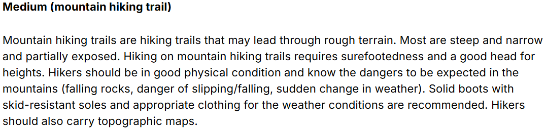
The Swiss Alpine Club (SAC) similarly rates the hike as T2 mountain hiking. This difficulty rating means the hike will usually have the following characteristics.

Given the accumulated elevation gain and sections of tricky terrain, we agree with these official difficulty ratings.
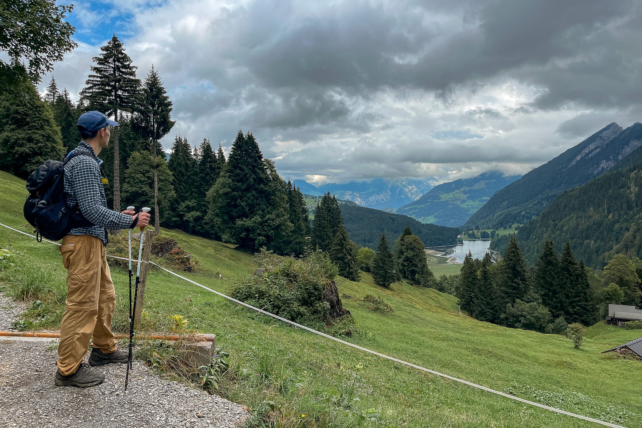
Map (Route No. 823)
Personally, Beck and I used this AllTrails map to help us navigate the route. You can also use SwitzerlandMobility to access official maps of hiking routes in Switzerland.
Of course, we recommend using a map to help you navigate this hike. However, like most hiking routes in Switzerland, it's well signposted.
Ahornen Rundweg is officially recognised as route number 823. You'll see green 'Ahornen Rundweg 823' labels on some of the yellow signposts to help you navigate the route. Being a T2 trail, you'll also find white-red-white trail markers along the route to help you stay on track.
Travel Insurance

Don't leave for your trip without booking travel insurance. We all know accidents can happen and having Heymondo travel insurance could save you thousands of dollars if something goes wrong. Click the button below to receive a 5% discount!
Our Experience Doing Ahornen Rundweg
Beck and I spent nearly two weeks in Glarus, doing all of the best hikes in the area. This was the first hike we did on our Glarus hiking trip, so we were really chomping at the bit.
This hiking trip was also the first one that we did with our little boy. You may even notice him on our backs in some of the photos.
Ahornen Rundweg will always be a special hike for Beck and I, given it was the first major hike that we did abroad with the little guy!
Anyway, true to form, we won't provide a tedious trail description below. Instead, we'll highlight the main points of interest along the walk and share a few useful tips about the route.
FYI – we completed the hike anti-clockwise.
Niederseewald Forest
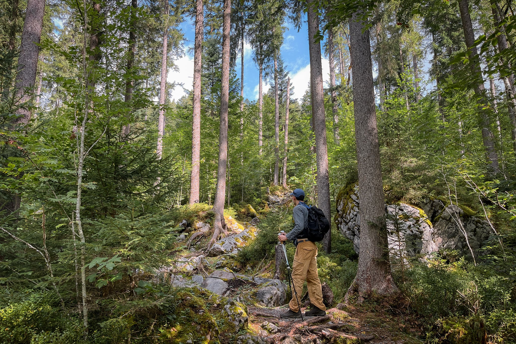
If you complete the hike anti-clockwise, get ready for a lung-buster to start with. From the trailhead, the trail steeply ascends into the forest, heading away from Näfels Obersee Lake.
At least, the enchanting Niederseewald Forest provides ample distraction. The tall pinewood trees are truly glorious.
Exploring Oberseealp (Obersee Alp)
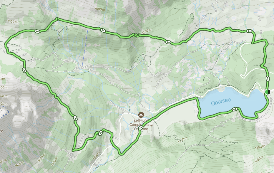
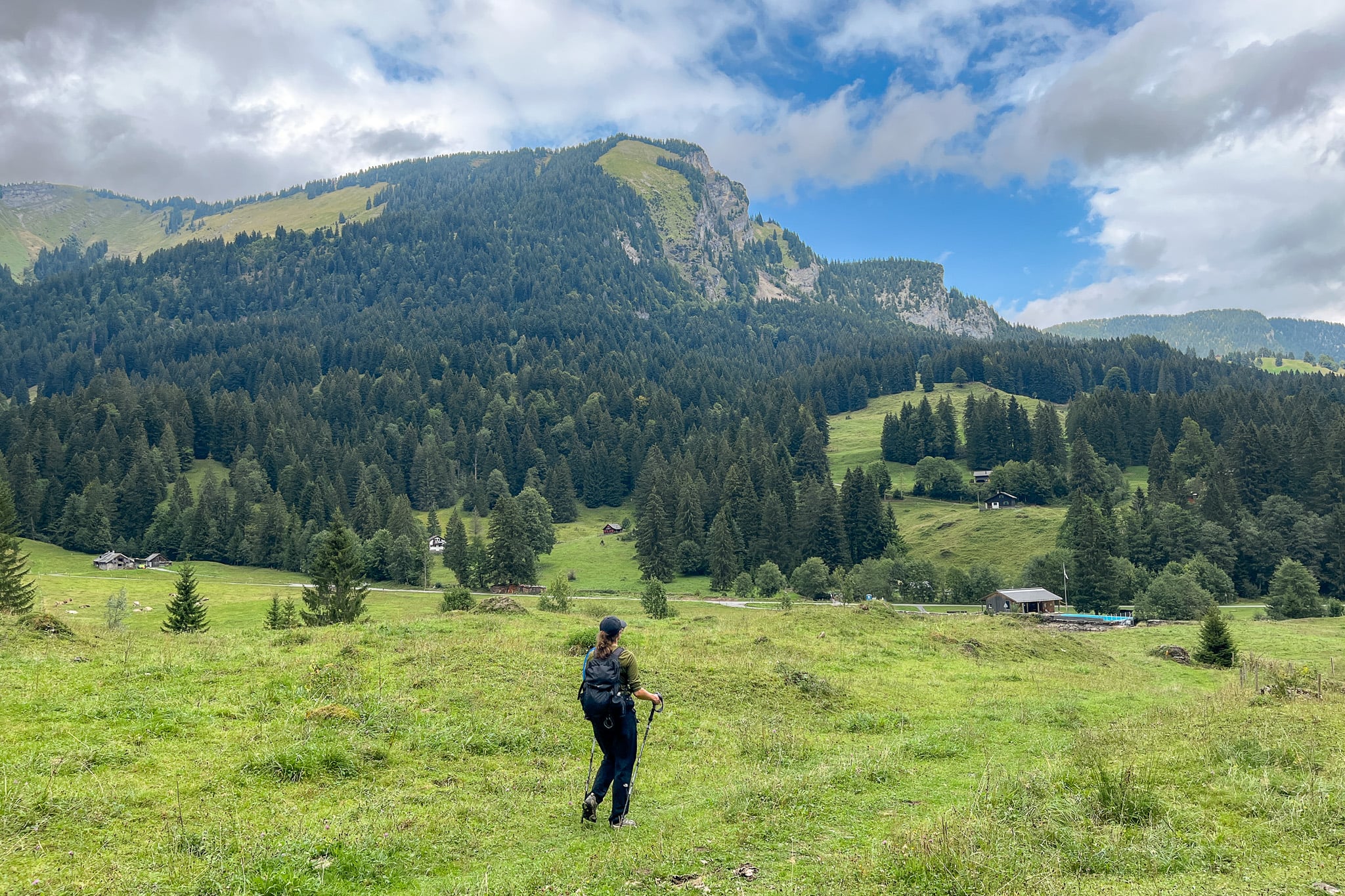
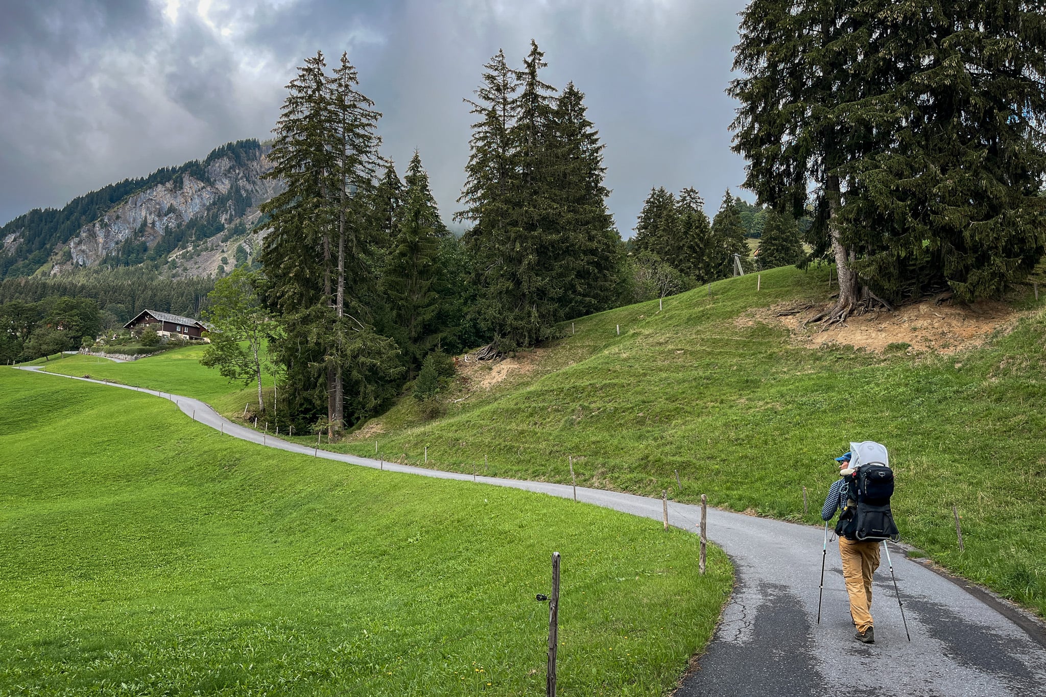
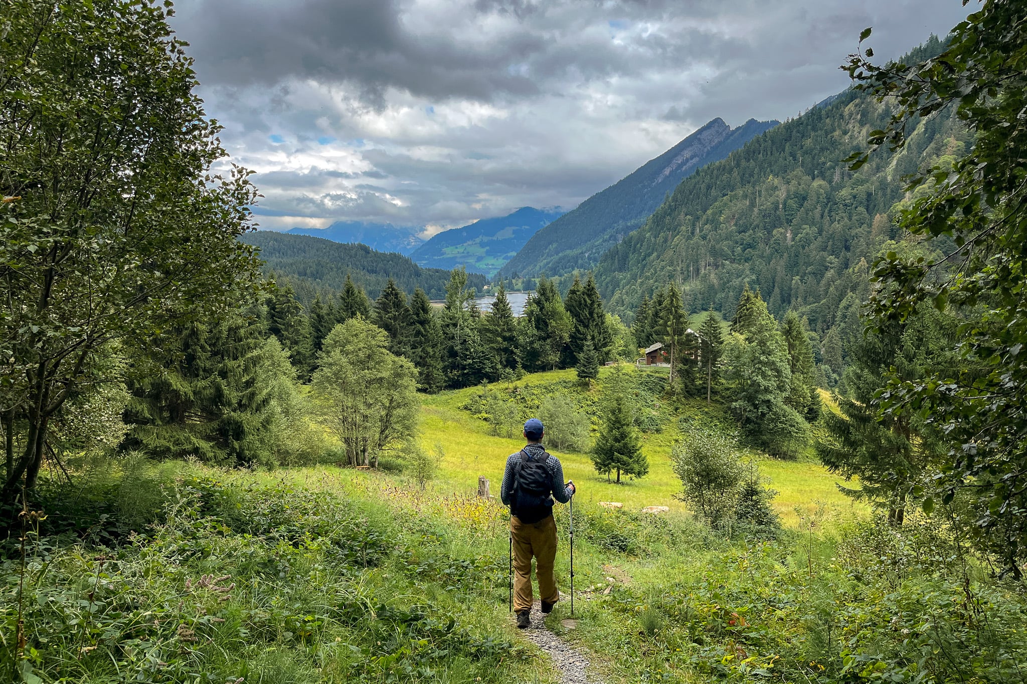
Eventually, you'll emerge from the forest and enter the scenic Obersee Valley (Oberseetal). A paved trail leads you past a farm and green meadows, which dominate the Oberseealp (Obersee Alp). The vast meadows in the valley are a sight to behold!
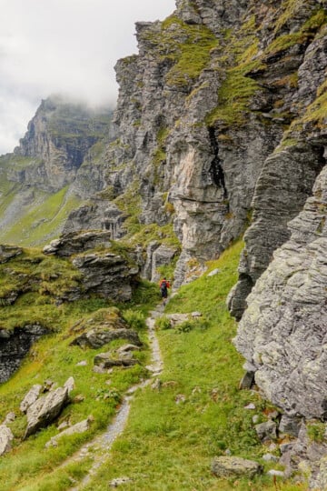
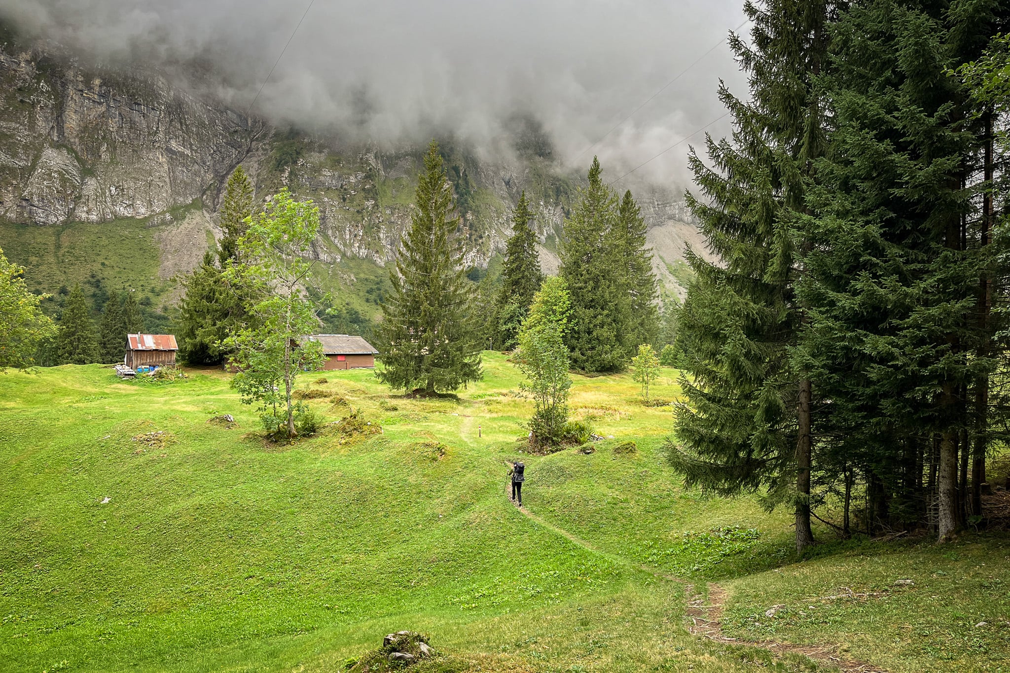
Thereafter, you'll do the toughest ascent of the Ahornen Rundweg. The trail narrows and zigzags steeply over rough terrain. Finally, the gruelling ascent ends, and you reach the highest point of the walk, Stäfeli.
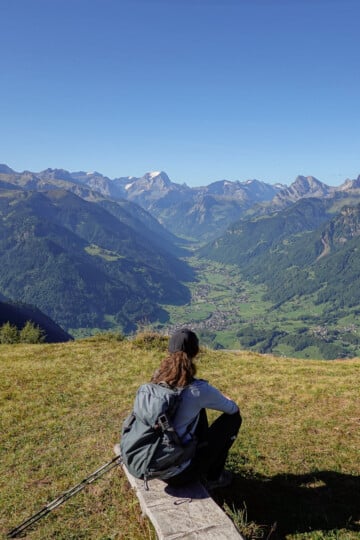
From this point, you'll enjoy far-reaching views of the stunning Glarus mountain ranges. Low cloud cover meant we didn't enjoy the best visibility. Better luck on your hike!
Obersee Valley (Oberseetal)
You'll then descend into the valley, where you'll enjoy more mouthwatering scenery.
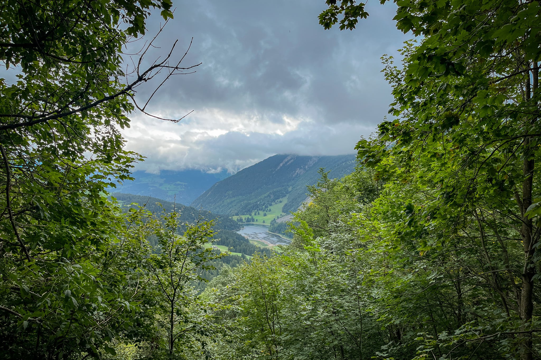
Soon, the route heads back toward Näfels Obersee Lake. You'll start to catch the odd glimpse of the lake in the distance.
We did this hike in early Fall, following several heat waves over the summer, and so the lake had dried up in some peripheral sections. Because of that, the lake wasn't looking quite as spectacular from afar.
Näfels Obersee Lake
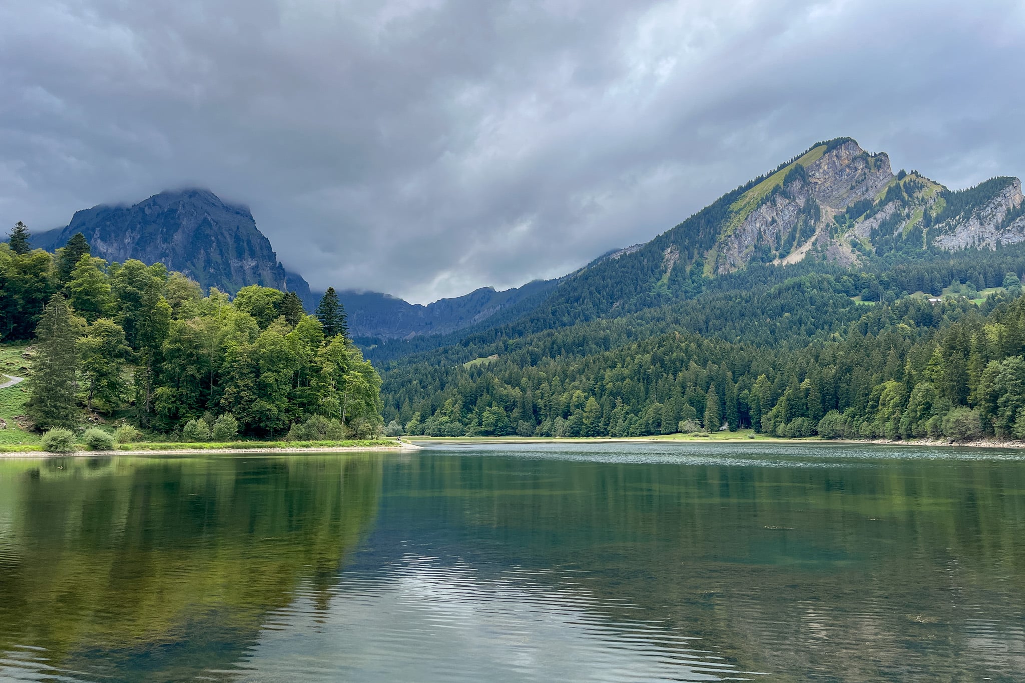
After descending further into the valley and passing a campground, you'll soon approach the western side of Näfels Obersee Lake.
The official Ahornen Rundweg 823 route directs you to walk along the road, alongside the north side of the lake. But from the road, your views of the lake are quite obscured.
We highly recommend walking along the southern side of the lake via the lakeside trail (as shown on the AllTrails map). This trail is more scenic and lets you really soak in the beauty of Näfels Obersee Lake.
Undoubtedly, the best views of the Alpine lake and surrounding mountains are from the eastern trip, near the trailhead.
Berghotel Obersee
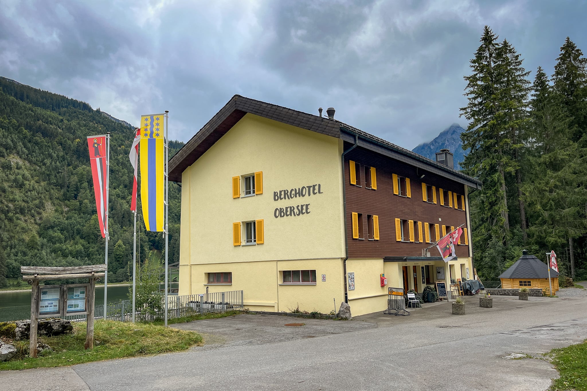
After enjoying the pristine Näfels Obersee Lake, you may want to end your hiking experience with a meal at Berghotel Obersee. From the hotel restaurant, you'll enjoy lovely lake and valley views.
Unfortunately, we hiked on a Monday, when the restaurant is usually closed. That said, check the website for opening hours to plan your trip accordingly.
How to Get There
Below, we'll cover logistics for accessing this hike. The best way to reach the trailhead is by car, as there are no public transport options.
Drive There
The trailhead isn't accessible by bus or train, so driving there is the best option. We hired a car from Zurich Airport for our Glarus hiking trip.
Bear in mind, to reach the trailhead, you'll need to drive along a 7km mountain road called Oberseestrasse. The road is winding, narrow and one-lane in sections, so you'll need to have your wits about you!
Car Hire

If you don't have your own car, you should hire one using Discover Cars. Personally, we use Discover Cars and highly recommend them for finding your ideal car hire at an affordable price. Booking online is super easy and the free cancellation policy is great.
To find out more about renting a car with Discover Cars, read our Discover Cars review and Discover Cars Insurance review.
Parkplatz Obersee
By the trailhead, there is a large parking area called Parkplatz Obersee. This parking space is located right next to Berhotel Obersee and the eastern edge of Näfels Obersee Lake. You'll park here to complete the Ahornen Rundweg.
Book An Alpine Taxi
Another option is to book an Alpine Taxi. A taxi service runs between Näfels-Mollis Railway Station and Berghotel Obersee, primarily to transport guests to the hotel. However, hikers can also use this service.
To organise this Alpine Taxi, it's best to contact Berghotel Obersee, which co-ordinates the service. I won't list their number to avoid it potentially becoming incorrect if it ever changes. Check their official website for up-to-date contact details.
Walk There From Näfels
The other option is to get public transport to Näfels. From there, you can walk the 7km mountain road to the Ahornen Rundweg trailhead (and then back again after the hike). Given this adds 14km of walking to an already demanding hike, we don't recommend this option.
Where to Stay Nearby
Of course, you could stay at Berghotel Obersee! Otherwise, the nearest place to stay would be Näfels.
If you're exploring more of Glarnerland, really, you can stay anywhere in the canton of Glarus. Personally, we stayed in Filzbach in Glarus Nord, and can highly recommend this quaint, quiet village.
Ahornen Rundweg FAQs
Here are some commonly asked questions about this hike.
When Is the Best Time to Hike There?
During busy periods on weekends and summer holidays, the mountain road accessing the trailhead can close if the parking area is full. So, if you plan to visit during peak times, go earlier or later in the day.
Otherwise, the mountain road may close due to heavy snow and ice. To avoid disappointment, you may want to plan doing this hike outside of winter.
Other than doing this hike outside of winter, an ideal time is early Autumn. That way, you'll avoid the busier, hotter summer period while still enjoying pleasant weather. The forest also comes to life in the Fall.
How Much Does Parking Cost?
Parking at Parkplatz Obersee is free.
Is The Hike Worth Doing?
Yes, the route's landscape variety makes it a must-do hike in Glarus. Additionally, Näfels Obersee Lake is truly spectacular and worth seeing. No, it's not quite as spectacular as the nearby Klöntalersee (Lake Klöntal) [guide coming soon], but it's still worth seeing.