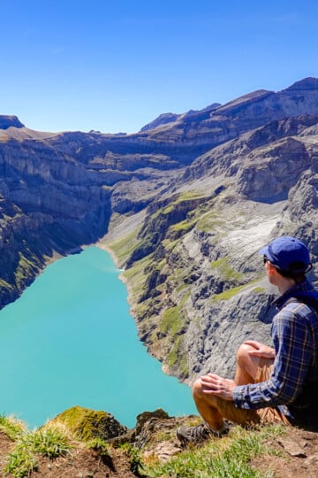
Braunwald Panoramaweg (Panorama Trail): The Complete Guide
The Braunwald Panoramaweg (Panorama Trail) is one of the best hikes in Glarus (Glarnerland), near Zurich. The circular trail provides sweeping views of the majestic Glarner Alps. Along the route, a few restaurants serve food and drink in a gorgeous, scenic mountain setting.
In this guide, we'll cover everything you need to know about the Braunwald Panoramaweg.
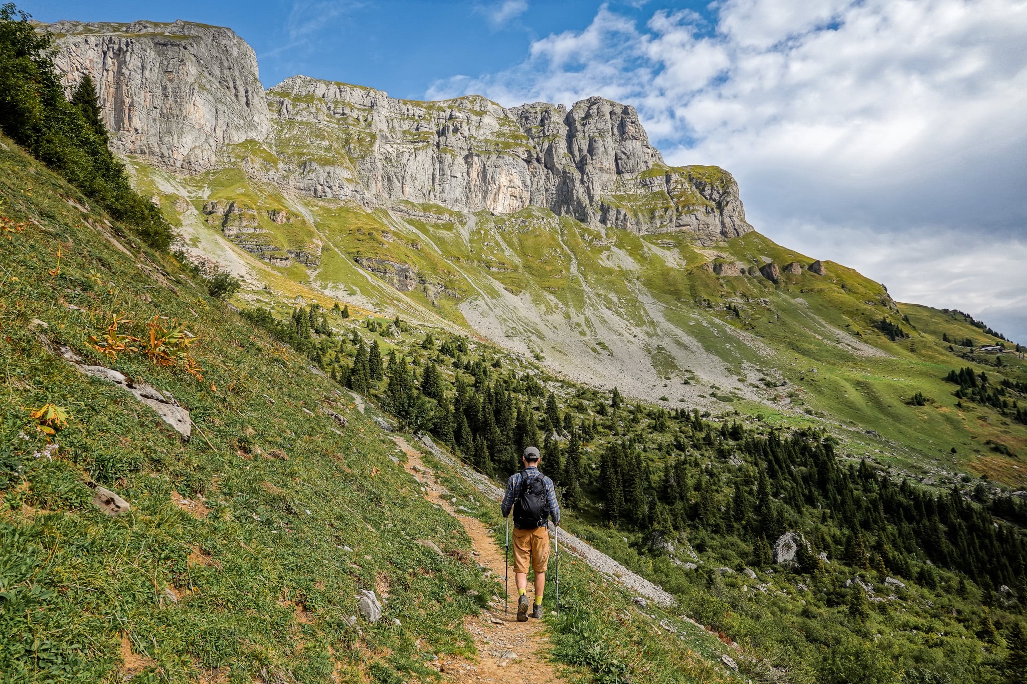
Table of Contents
The Braunwald Panoramaweg (Panorama Trail)
The Braunwald Panoramaweg is one of the best circular hikes in the canton of Glarus, eastern Switzerland. Starting above the scenic, car-free village of Braunwald and in the shadow of some of the main Glarner peaks, the circuit offers breathtaking, sweeping mountainous views.
As with the Davos Panoramaweg completed the year prior, the Braunwald Panoramaweg was truly spectacular. These panoramic trails offer sublime views, owing to good visibility, of course!
Below are the specs for this hike.
Trail Specs
- Type: Loop
- Distance: 9.3km
- Time: 3–4 hours
- Accumulated elevation gain/loss: 390m
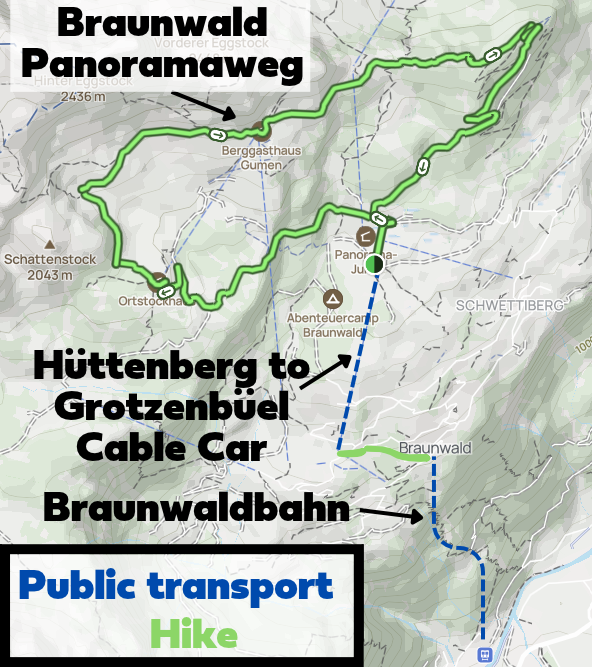
- Trailhead: Grotzenbüel Cable Car Station
- Difficulty: Moderate
- Map: AllTrails
The Braunwald Panoramaweg is a relatively easy circular route. Given the terrain, distance, and elevation gain, SwitzerlandMobility rates the route as moderately difficult.
Braunwald Panoramaweg Map
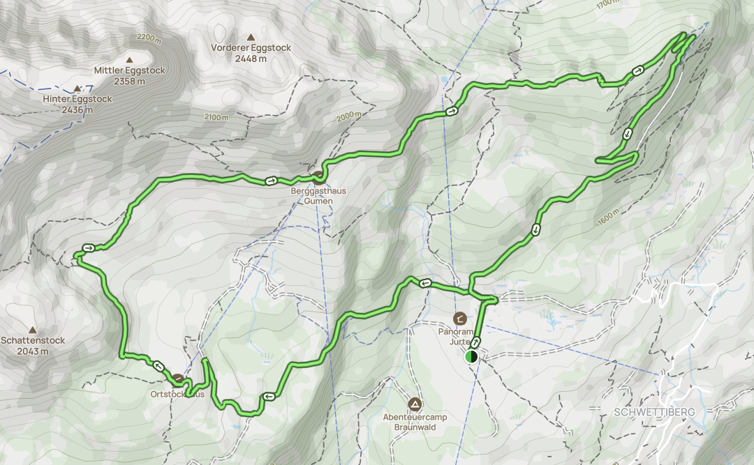
Beck and I used this AllTrails map to navigate the Braunwald Panoramaweg. The route is somewhat straightforward, but the map came in handy for checking a few turns in several sections.
The circular hike is officially known as Route 816. You'll find various signposts along the route to help you navigate the loop trail.
How to Do the Hike
Follow these simple steps to complete the Braunwald Panoramaweg.
- Arrive at the Linthal funicular station.
- Catch the Braunwaldbahn to the Braunwald funicular station.
- Walk to the Hüttenberg cable car station.
- Take the Hüttenberg to Grotzenbüel cable car to the Grotzenbüel cable car station.
- Hike the Braunwald Panoramaweg.
- Descend the cable car to the Hüttenberg cable car station.
- Walk to the Braunwald funicular station.
- Catch the Braunwaldbahn back to the Linthal funicular station.
How to Get to Linthal
You can drive or take the train to Linthal.
Drive There
Beck and I hired a car from Zurich Airport for our hiking trip in Glarnerland. So, we simply drove to Linthal.
We parked at the Linthal funicular station car park. We paid CHF 4 for parking, which is the rate for parking there between four and eight hours. It's a large car park, but in case it's full, there is an overflow car park nearby.
Car Hire

If you don't have your own car, you should hire one using Discover Cars. Personally, we use Discover Cars and highly recommend them for finding your ideal car hire at an affordable price. Booking online is super easy and the free cancellation policy is great.
To find out more about renting a car with Discover Cars, read our Discover Cars review and Discover Cars Insurance review.
Public Transport
You can catch a train to the Linthal Braunwaldbahn train station. It's conveniently located outside of the Linthal funicular station. Use the SBB app or website to plan your journey and buy your train tickets.
Braunwaldbahn (Funicular)
To reach Braunwald for the Braunwald Panoramaweg, take the Braunwaldbahn (AKA Braunwald-Standseilbahn) funicular from Linthal. It rises around 605 metres and takes around seven minutes.
What Are the Opening Hours?
Because the funicular is the only way to reach Braunwald and is used by residents and tourists alike, it runs almost all day and very frequently. Check the official website for the most up-to-date timetable.
For a rough idea, when we visited, the opening hours were 5:25am to 11:55pm. The frequency was every half hour and every 15 minutes during peak hours.
What Time of Year Does it Operate?
It runs every day of the year!
How Much Does a Ticket Cost?
Check the official website for the most up-to-date ticket prices.
For a rough idea, when we visited, a day (return) ticket cost CHF 15.20 per adult, CHF 7.60 for children (6–16 years), and was free for children under six. That's without travel passes, which could lead to a discounted rate.
For example, the Swiss Half-Fare Card gives you 50% off the Braunwaldbahn.
Can You Use the Glarnerland Pass?
Yes, you can travel for free on the Braunwaldbahn by using the Glarnerland Pass. That's exactly what we did!
FYI – you qualify for this pass if you stay at a commercial accommodation in the canton of Glarus for at least one night.
Hüttenberg to Grotzenbüel Cable Car
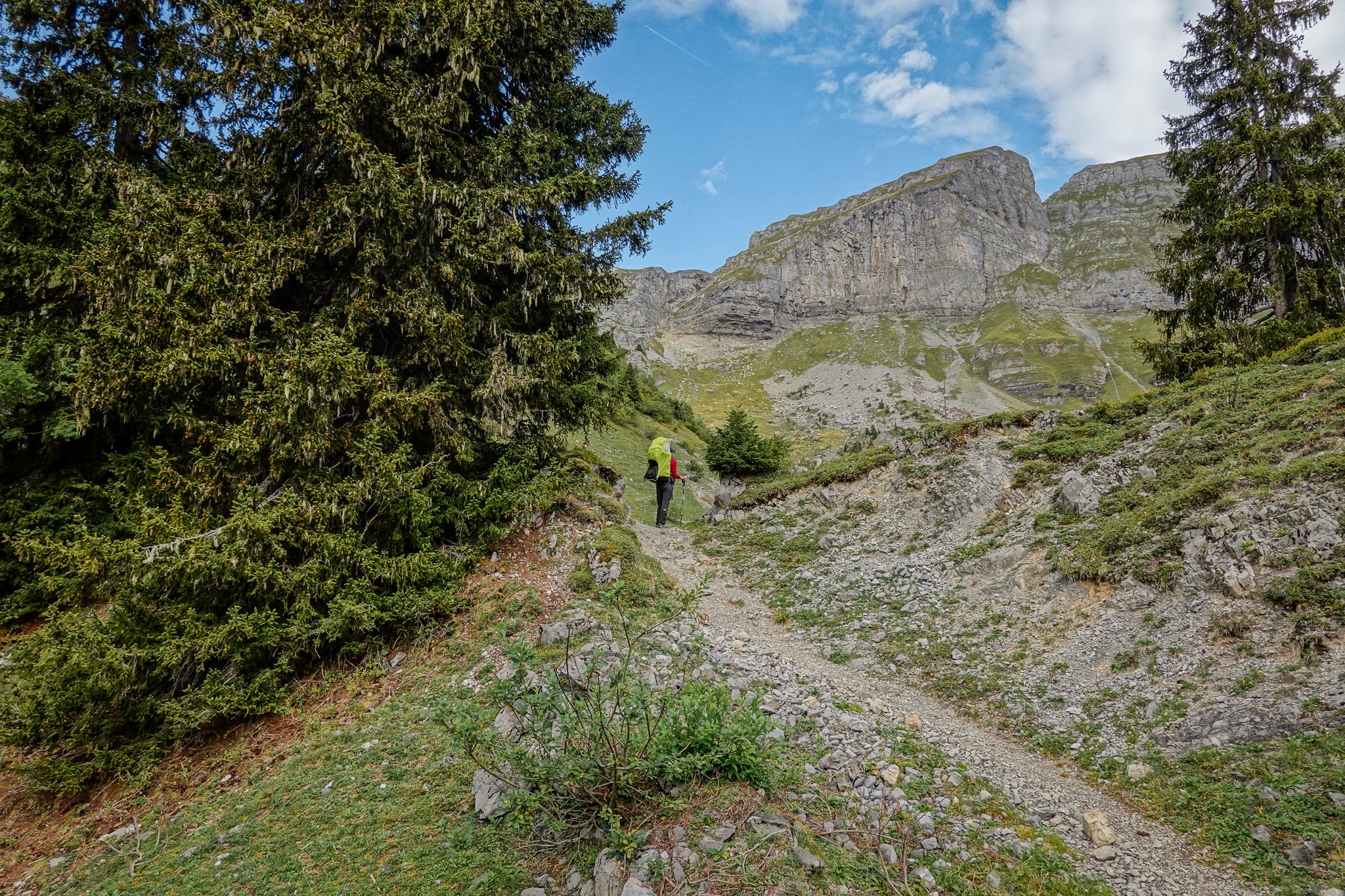
Once you've arrived in Braunwald via the funicular, you'll need to walk approx. 600 metres to arrive at the Hüttenberg cable car station. From there, you'll catch the cable car to Grotzenbüel to do the Braunwald Panoramaweg.
This cable car ride is around 10 minutes and climbs a further approx. 250 metres.
What Are the Opening Hours?
Compared with the Braunwaldbahn, the Hüttenberg to Grotzenbüel cable car has much more limited operating hours. Check the official Braunwald website for the most up-to-date opening hours.
During the summer season, when it's open to facilitate hikers, it usually runs from 9:30am to 12:30pm and 1:30pm to 4:00pm, every 30 minutes.
What Time of Year Does it Operate?
Again, check the official website for the most up-to-date summer operating times. Usually, the summer season operates from April to October.
How Much Does a Ticket Cost?
When we visited, we paid CHF 30 per adult for a return cable car trip. For children aged 6 to 16 years, it's CHF 16 for a return trip. Children under six ride for free.
Check the official website for the most up-to-date prices.
Can You Use the Glarnerland Pass?
Unfortunately, the Glarnerland Pass doesn't discount the Hüttenberg to Grotzenbüel cable car.
Braunwald Panoramaweg: Our Experience
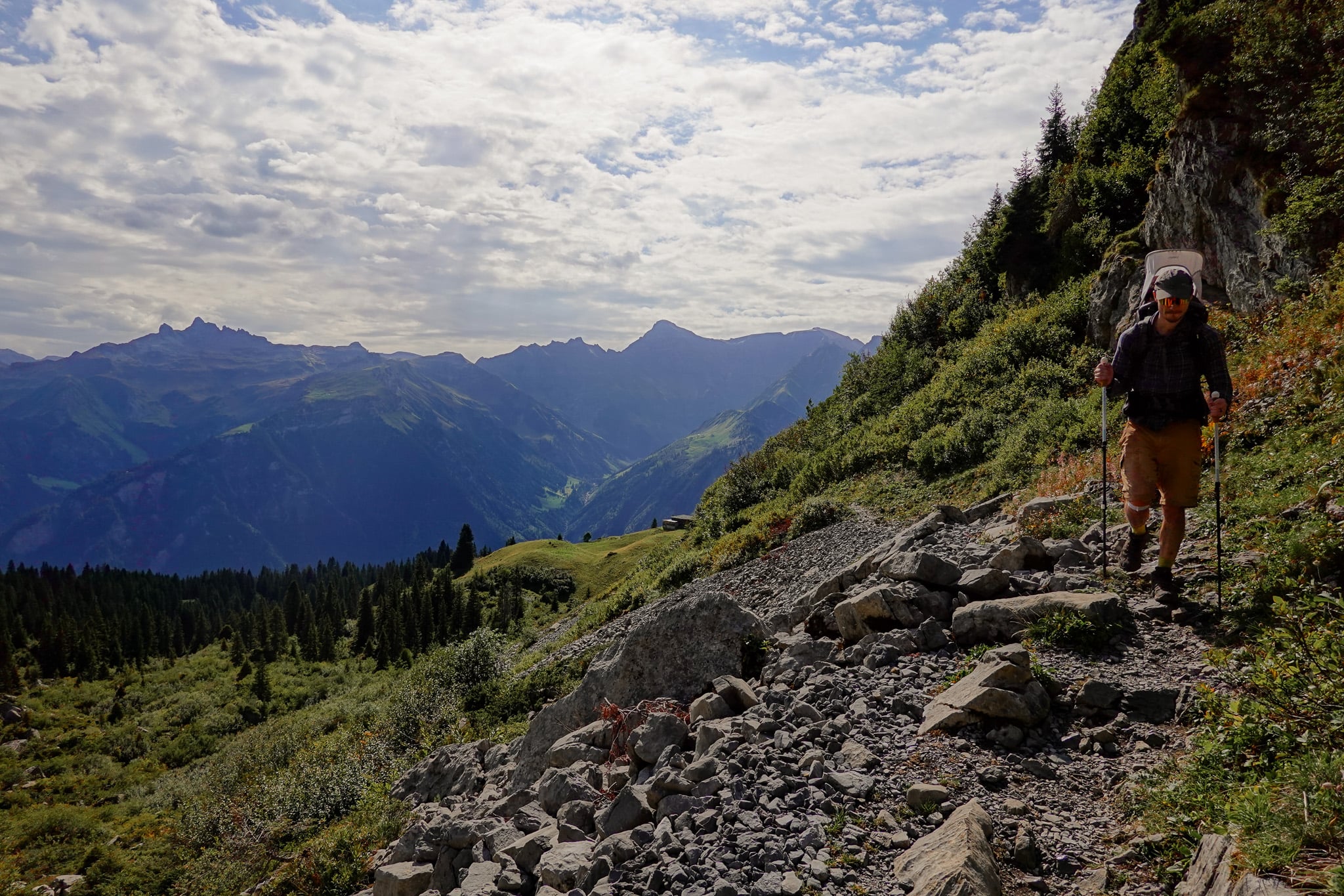
Now that we've covered the most useful logistics, let's look at the hike itself. We won't bore you with a tedious trail description of the Braunwald Panoramaweg; instead, we'll highlight the main points of interest. We'll also showcase the hike with photos along the route.
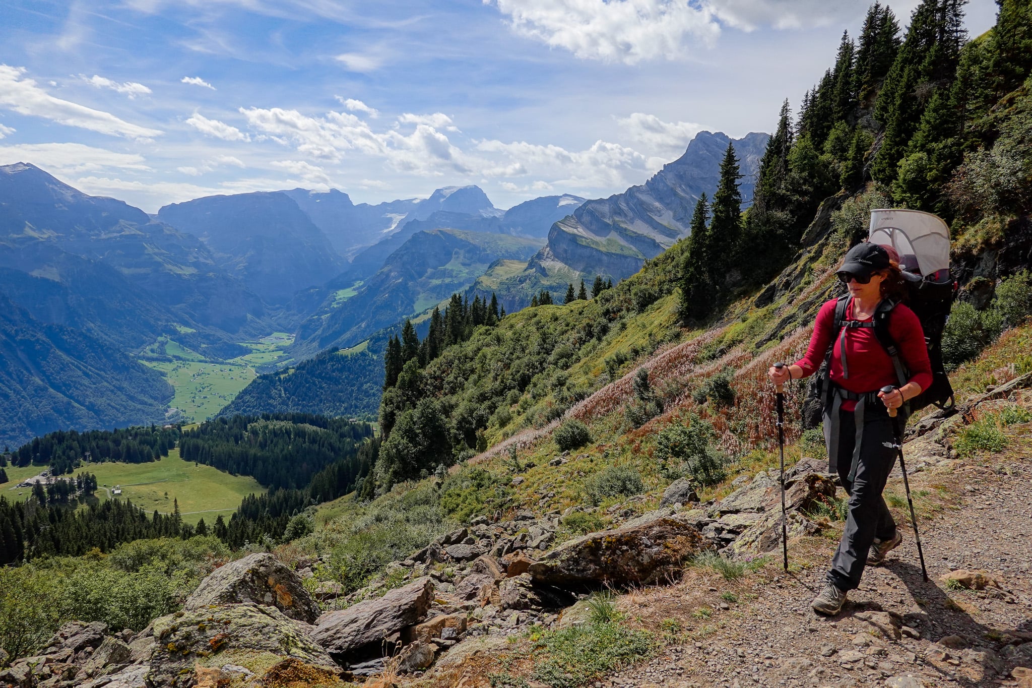
Personally, Beck and I did this walk with our then seven month old boy. So it meant we were a little slower than usual! But it was well worth it to show our little lad the amazing scenery on offer along this hike.
Grotzenbüel
After catching the funicular and cable car described above, we eventually arrived at Grotzenbüel to begin the Braunwald Panoramaweg.
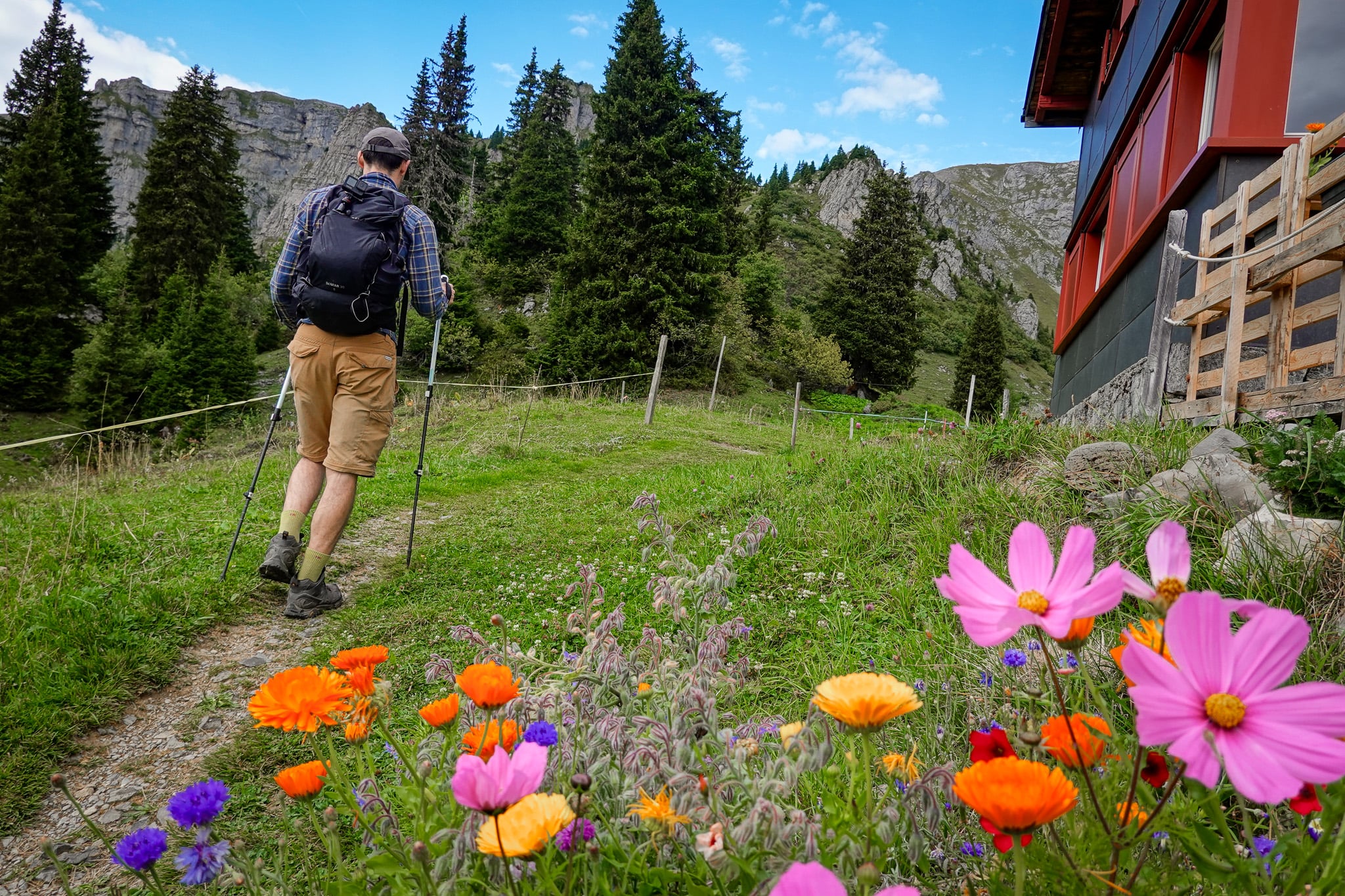
Next to the Grotzenbüel cable car station, you'll find a restaurant called Chämistube, featuring an impressive playground. The hike starts and ends here.
After the hike, we enjoyed a beer in the outdoor area while our boy had one of his first playground experiences. Before that, we enjoyed the circular hike, of course!
Ortstockhaus Braunwald
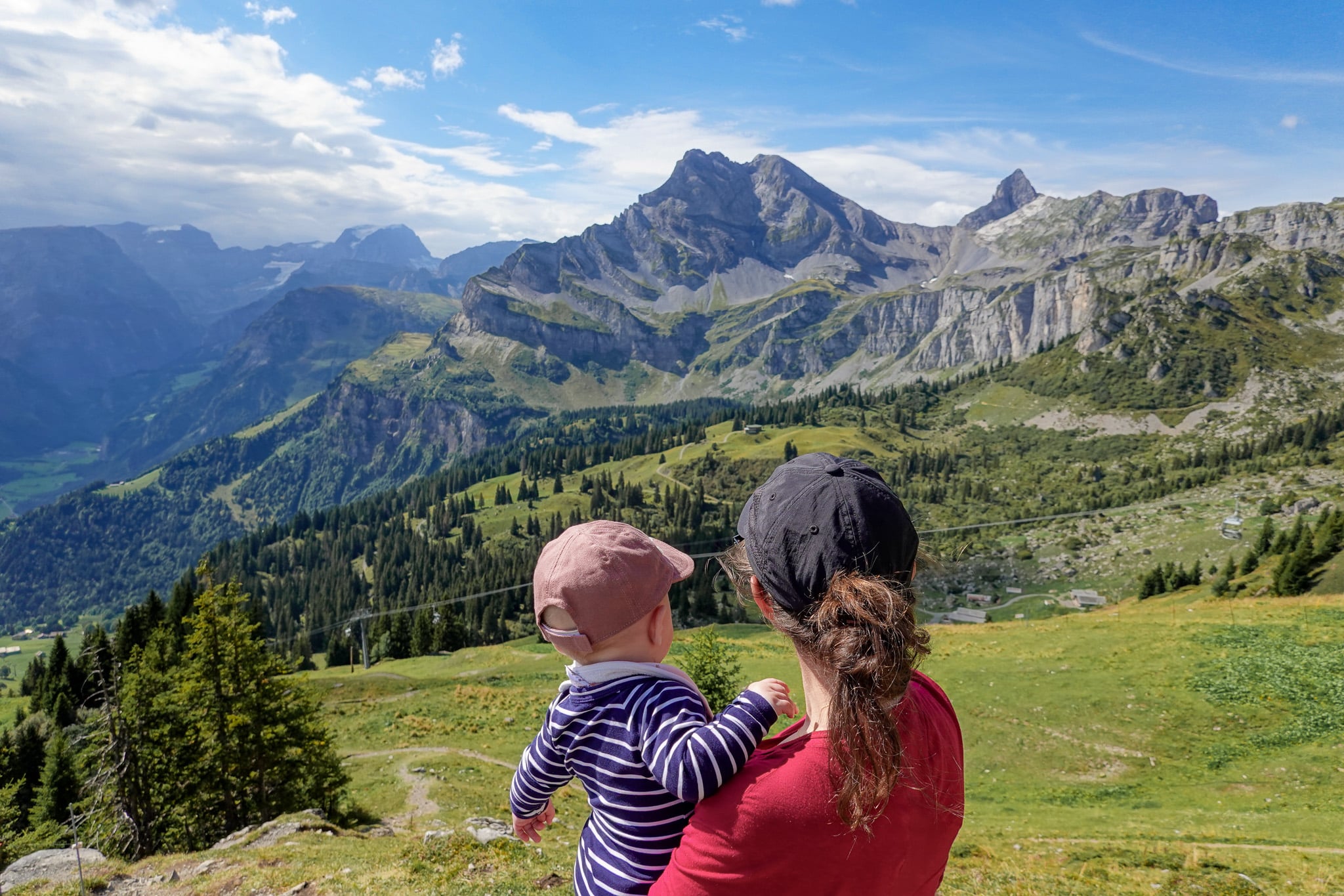
From Grotzenbüel, the ascent begins; past farmland and into the mountains. From the get-go, even with light drizzle and cloud cover, we enjoyed sensational far-reaching views of the Glarner Alps.
Hiking clockwise, after roughly 2.5km, you'll reach Ortstockhaus Braunwald, a mountain hut and restaurant with sweeping views. We planned to stop at Gumen later for a coffee, so we just passed by.
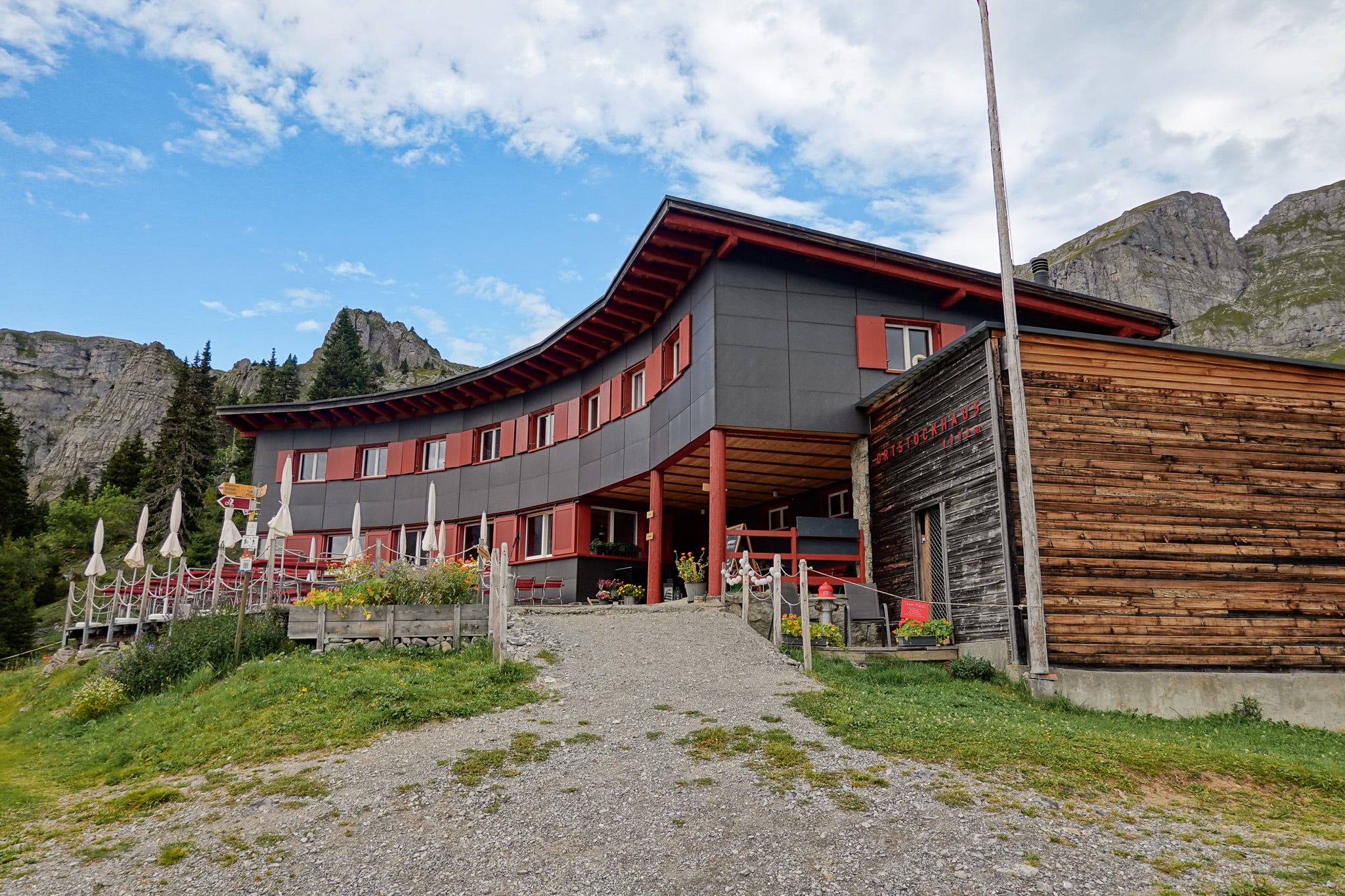
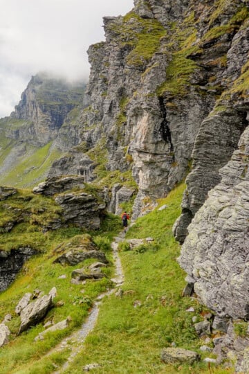
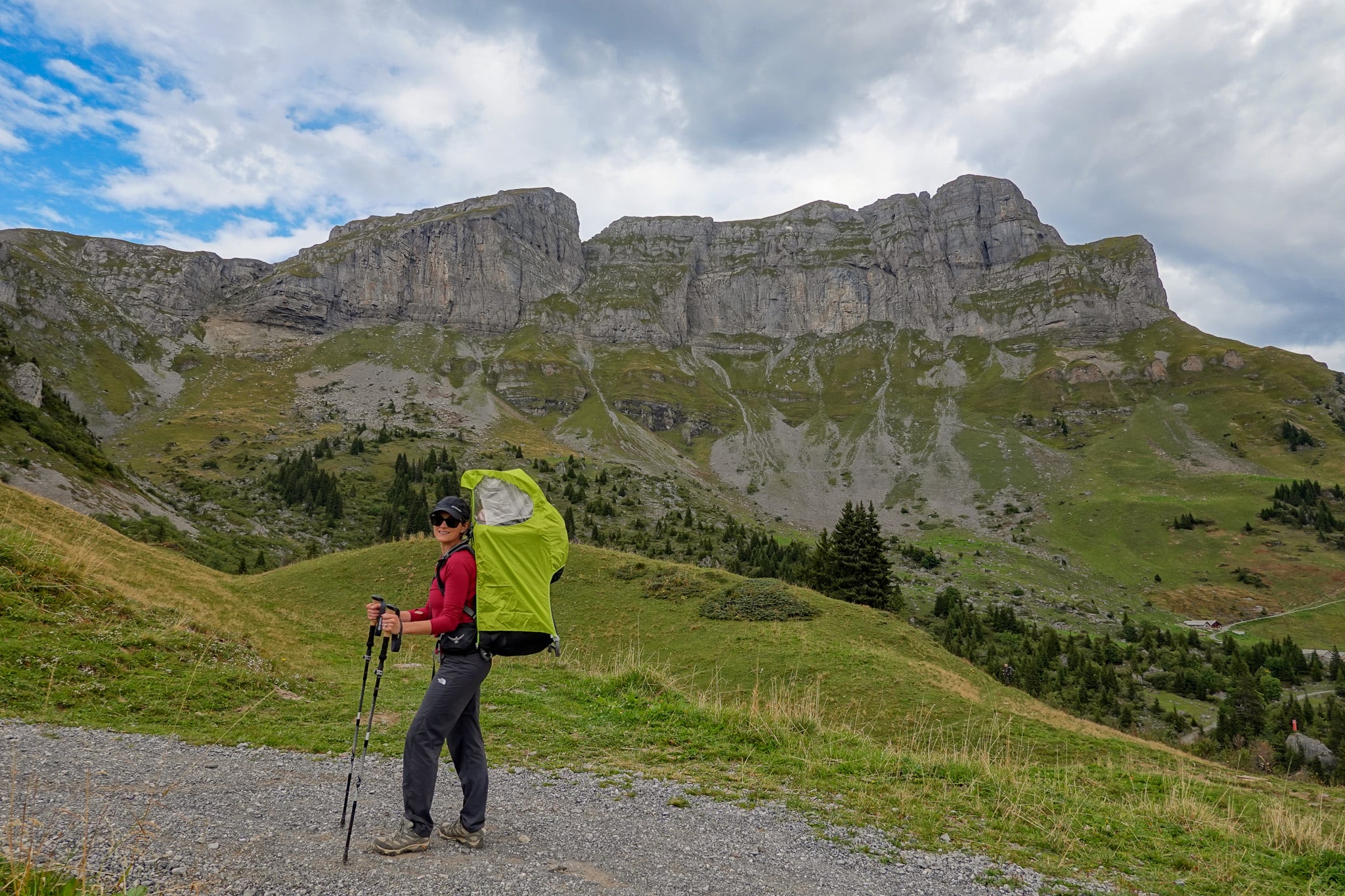
From Ortstockhaus Braunwald, the trail veers northward towards an impressive group of peaks called Eggstock. This epic mountain ridge sits on the border of the cantons of Glarus and Schwyz.
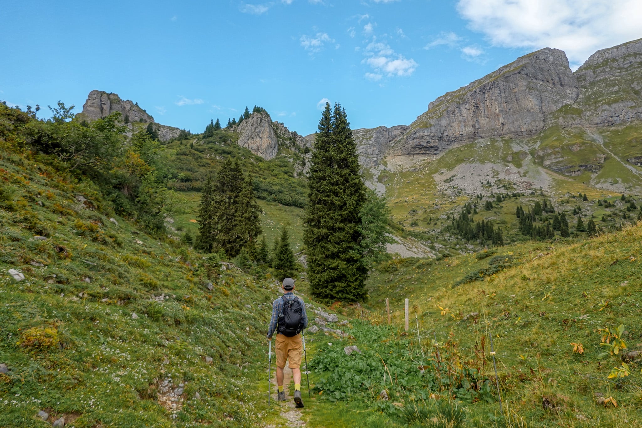
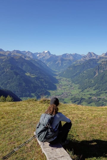
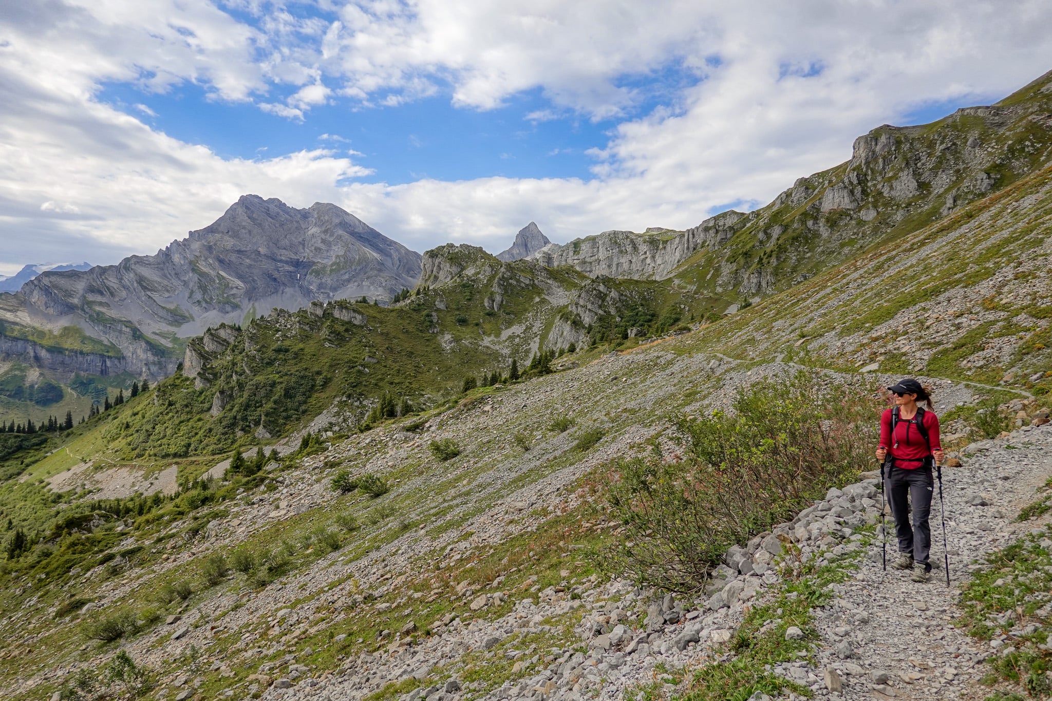
The trail soon heads eastward. Don't forget to turn around to enjoy outstanding views of the Ortstock and Tödi mountains.
Gumen
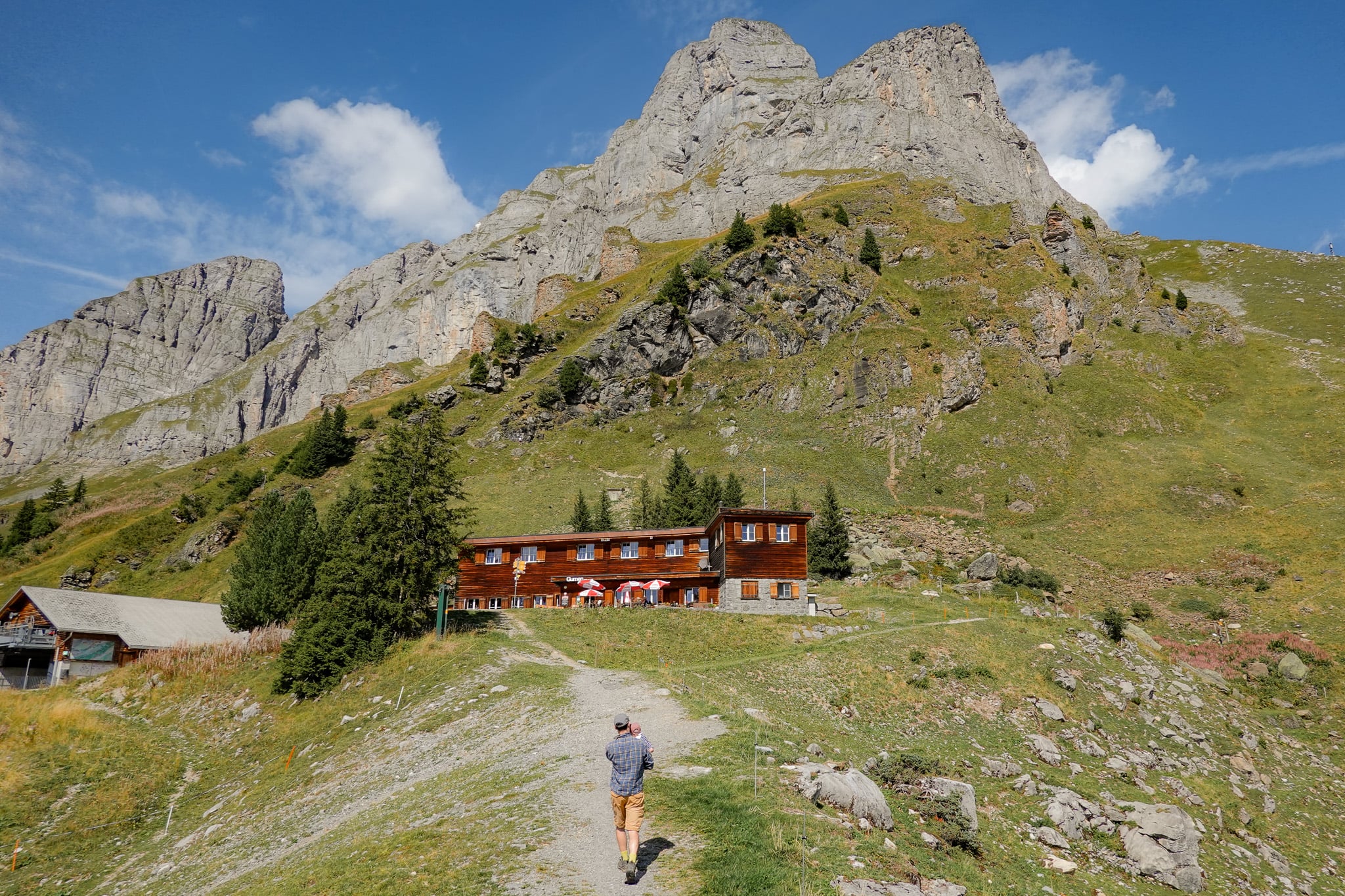
Eventually, you'll reach Berggasthaus Gumen (AKA Gumen). We found this an excellent place to stop for a drink. Thankfully, the weather had improved, so we enjoyed even more pleasant views further along the Braunwald Panoramaweg.
At Gumen, a short side trail leads to a fantastic viewpoint of the Ortstock and Tödi mountains. We highly recommend this short detour for some of the best views along the hike.
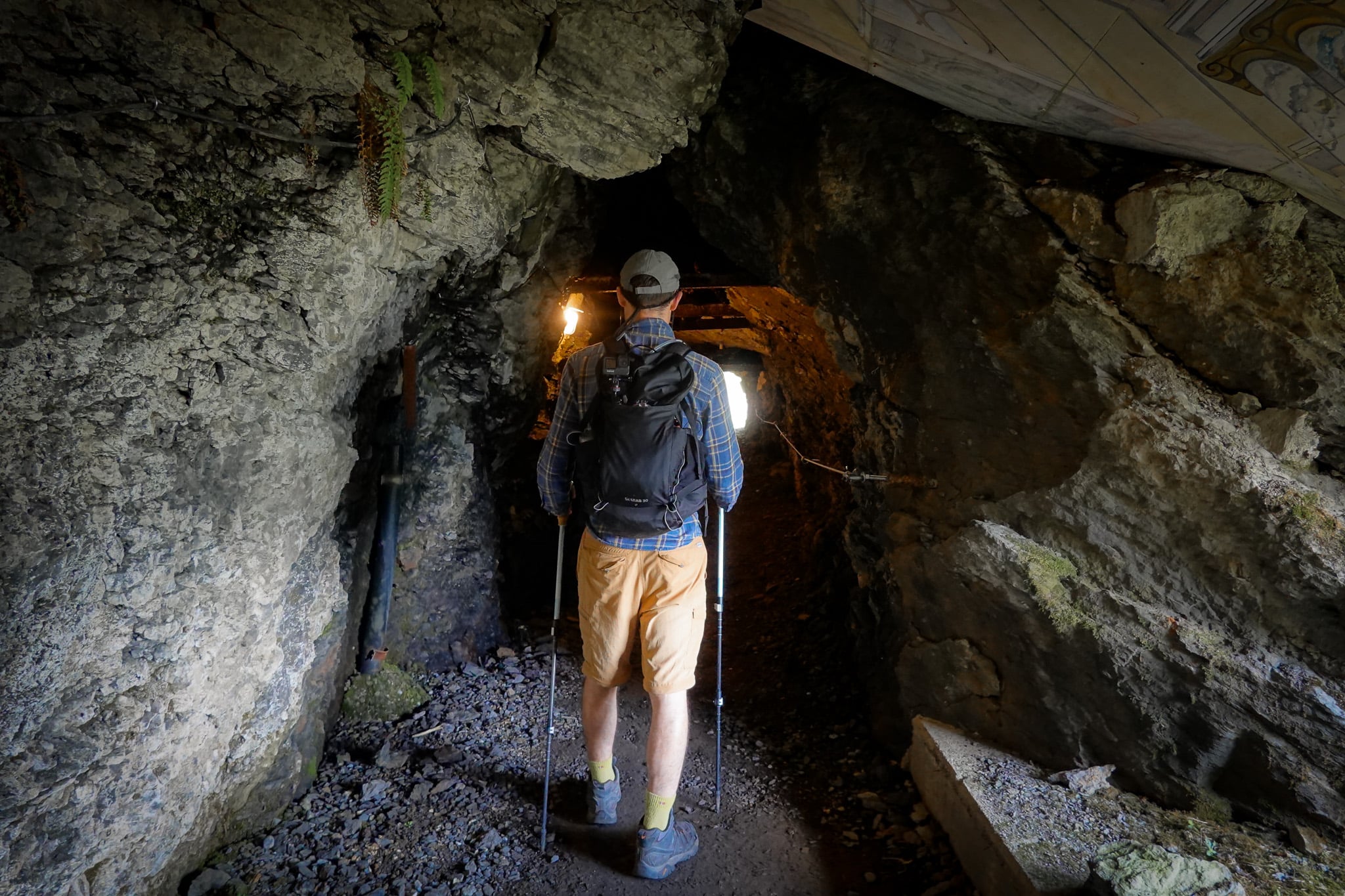
After a well-deserved coffee, we continued along the trail and passed through a tunnel.
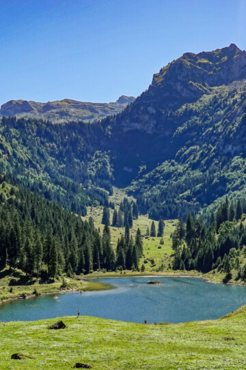
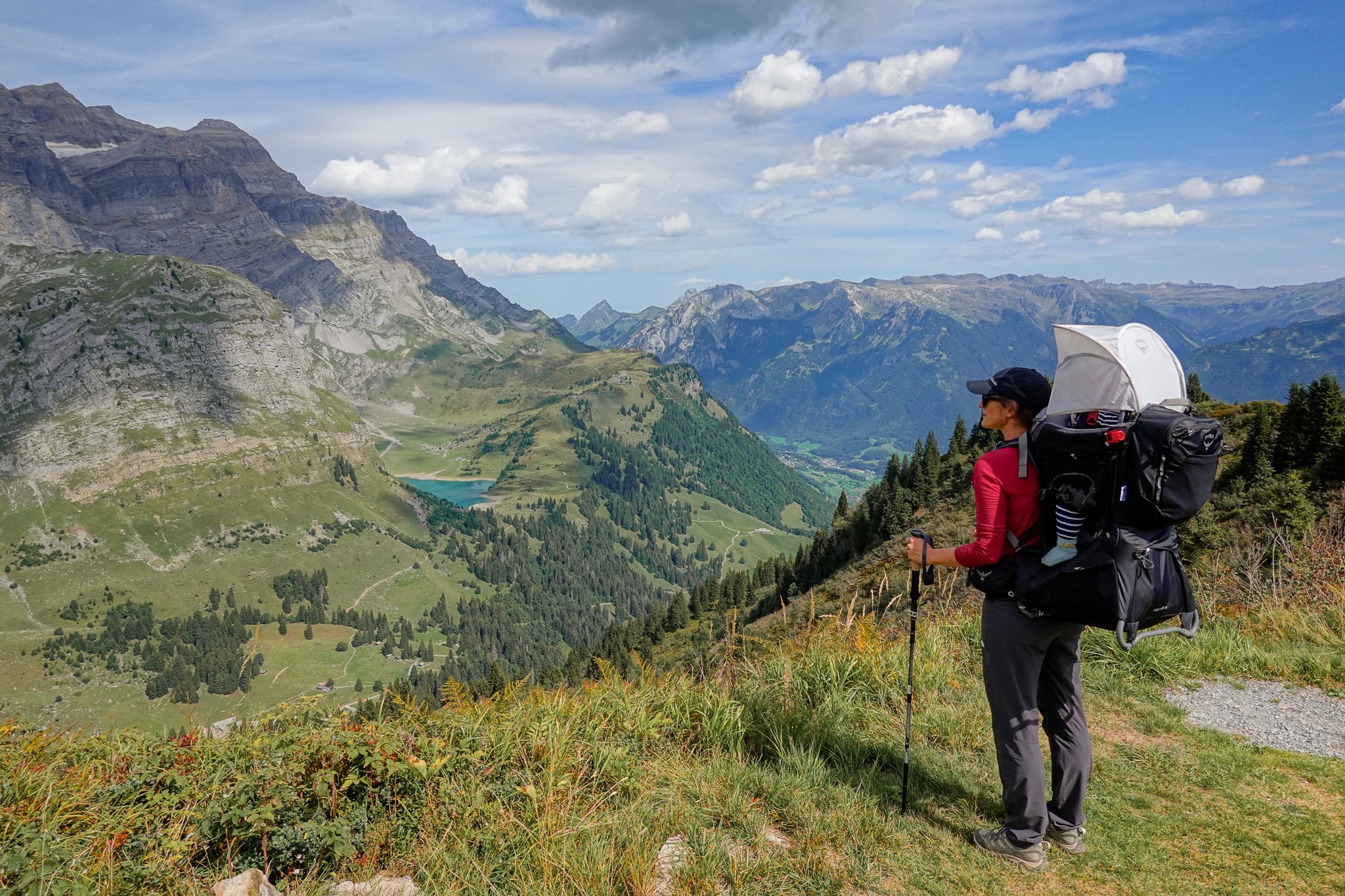
Not far from the tunnel, near the easternmost point of the circular walk, new wonderful scenes await. You'll get a glimpse of Linth Valley and even see Oberblegisee. We hiked to Oberblegisee a few days earlier, on a hike from Brunnenberg to Braunwald.
From there, you'll walk through a forested area and complete the hike on your return to Grotzenbüel.
We highly recommend this walk and think it's one of the best in Glarnerland. However, you may want to consider doing one of these route variations instead.
Braunwald Panoramaweg: Short Version
You could once catch the Gumenbahn (combined chair lift and cable car) from Braunwald to Gumen. This would mean only walking between Gumen and Grotzenbüel along the Braunwald Panoramaweg. That means you'd only walk downhill, whether you go clockwise or anticlockwise.
However, the Gumenbahn is set to shut down permanently in October 2026. So, this will no longer be an option.
Braunwald Panoramaweg: Long Version
The longer version involves skipping the Hüttenberg to Grotzenbüel cable car.
Essentially, you'll hike approx. 3.5km from Braunwald to Grotzenbüel, gaining over 300 metres in elevation. You'll then complete the Braunwald Panoramaweg before hiking back to Braunwald from Grotzenbüel.
If you really want to save pennies, this is a good option. But it adds an extra 7km of hiking, so roughly another two hours.
Where to Stay Nearby
During our Glarus hiking trip, we stayed in a secluded, picturesque village called Filzbach in Glarus Nord.
To find the perfect place to stay in Glarnerland, we recommend using Booking.com.