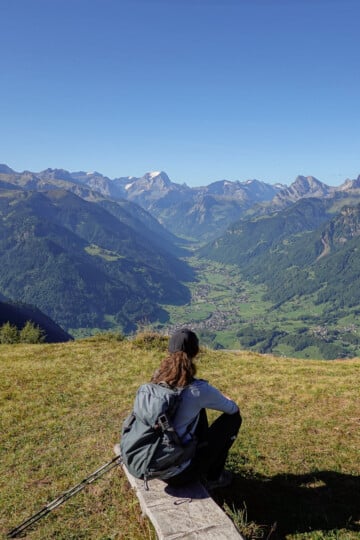
The 11 Best Glarus Hikes: The Ultimate Glarnerland Hiking Guide
The canton of Glarus isn't the first place the average punter thinks of when it comes to hiking in Switzerland. Glarus residents will hate me for publishing this, but their canton (region) is actually jam-packed with genuinely amazing hikes.
To avoid Switzerland's tourist hotspots, we decided to hike in Glarus (AKA Glarnerland). And we weren't disappointed. Glarus is home to some of eastern Switzerland's best hikes.
In this guide, we'll tell you everything you need to know about hiking in Glarus. This includes the top 11 hikes in the area (we did them all).
Holafly eSIM
While hiking in Switzerland, we used a Holafly eSIM. It was super easy to install and provided reliable mobile data connectivity throughout our trip. This eSIM certainly gave us peace of mind during our Glarus hiking trip.
For 5% off on eSIMs and 10% off on Holafly Plans (for the first 12 months), make sure to use our discount code: TRAVELMADEMEDOIT.
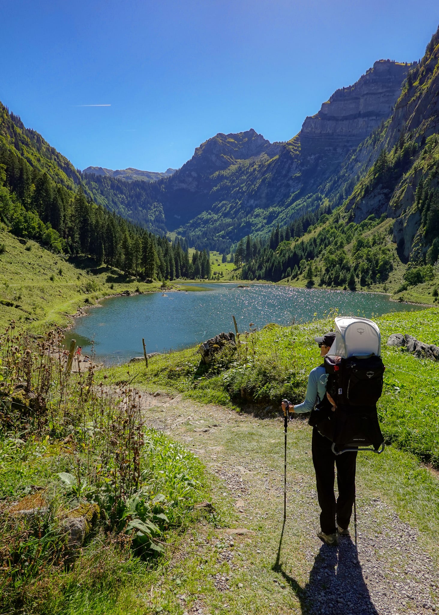
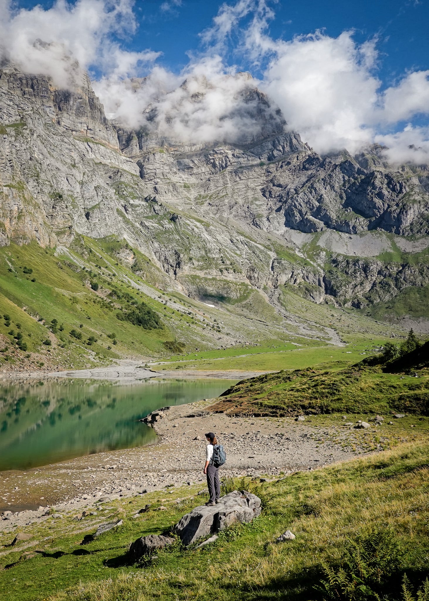
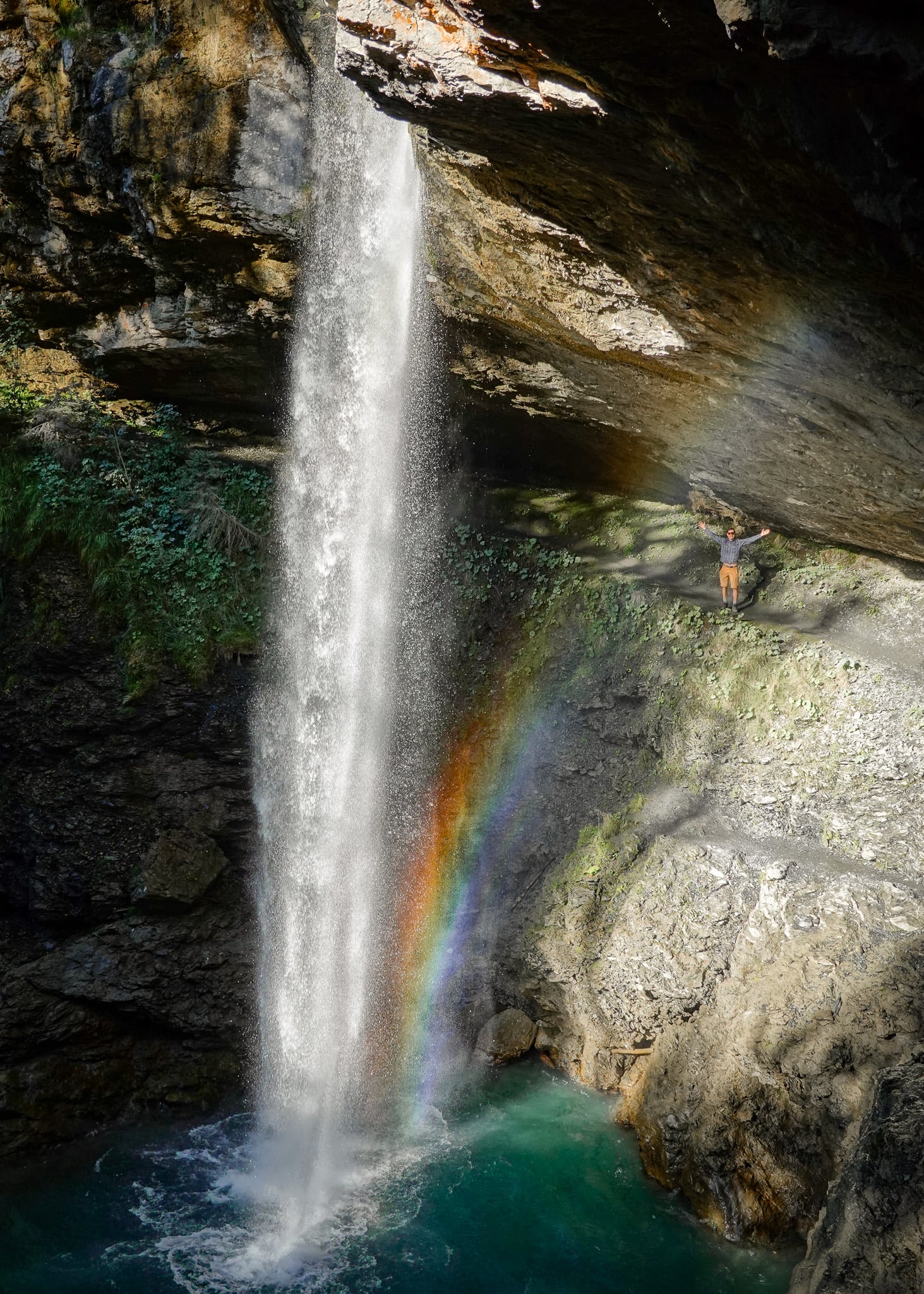
Table of Contents
Hiking in Glarus (Glarnerland)
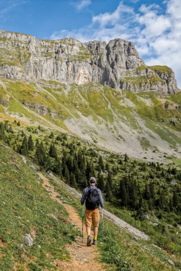
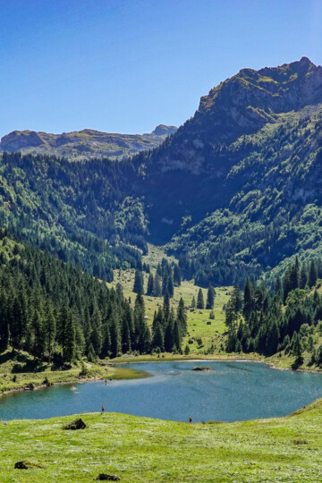
Not far from Zurich, the canton of Glarus (the historical region of Glarnerland) features natural landscapes made for hiking. Mountains, valleys, meadows, pastures, lakes, and waterfalls are interconnected by over 1,000km of signposted hiking trails.
Best of all, not many people know about it (until now). Somehow, Glarus has escaped mass tourism. But given how beautiful it is and how incredible the hikes are, Glarus won't be long before it earns a more well-known reputation as a hiking destination.
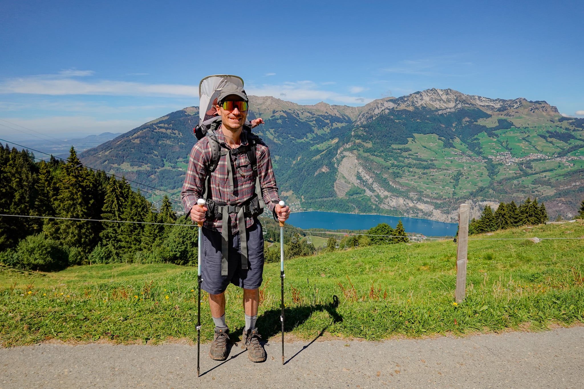
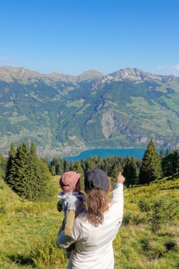
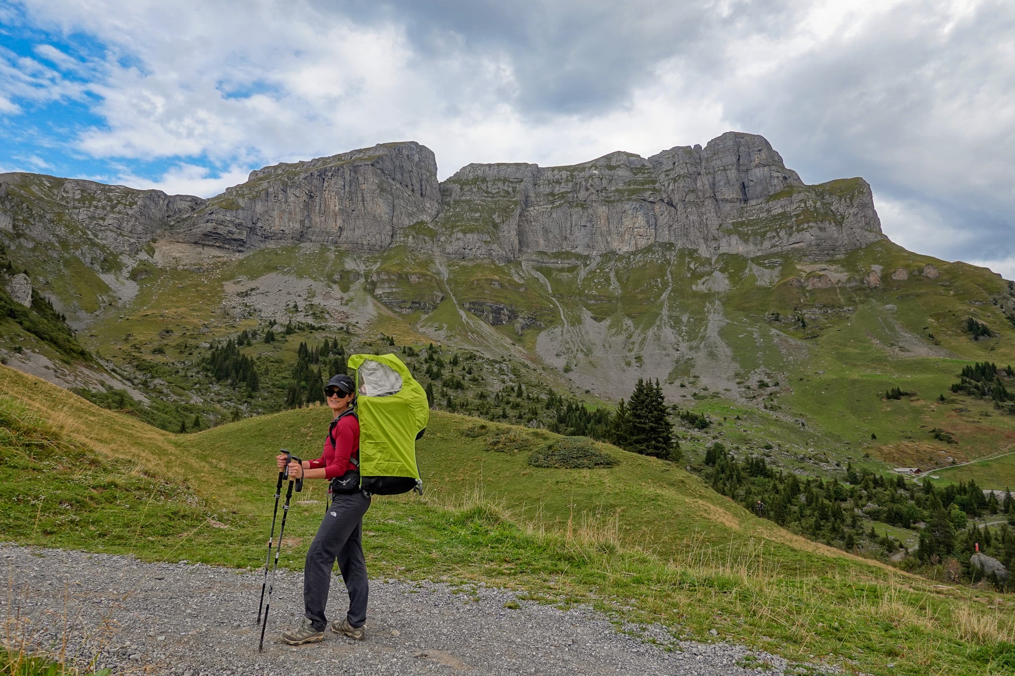
Beck, our then seven month old boy, and I spent nearly two weeks hiking in Glarus. We were genuinely blown away. Hiking there exceeded all of our expectations.
Below, we'll cut straight to the chase and show the locations of the 11 best hikes in the area.
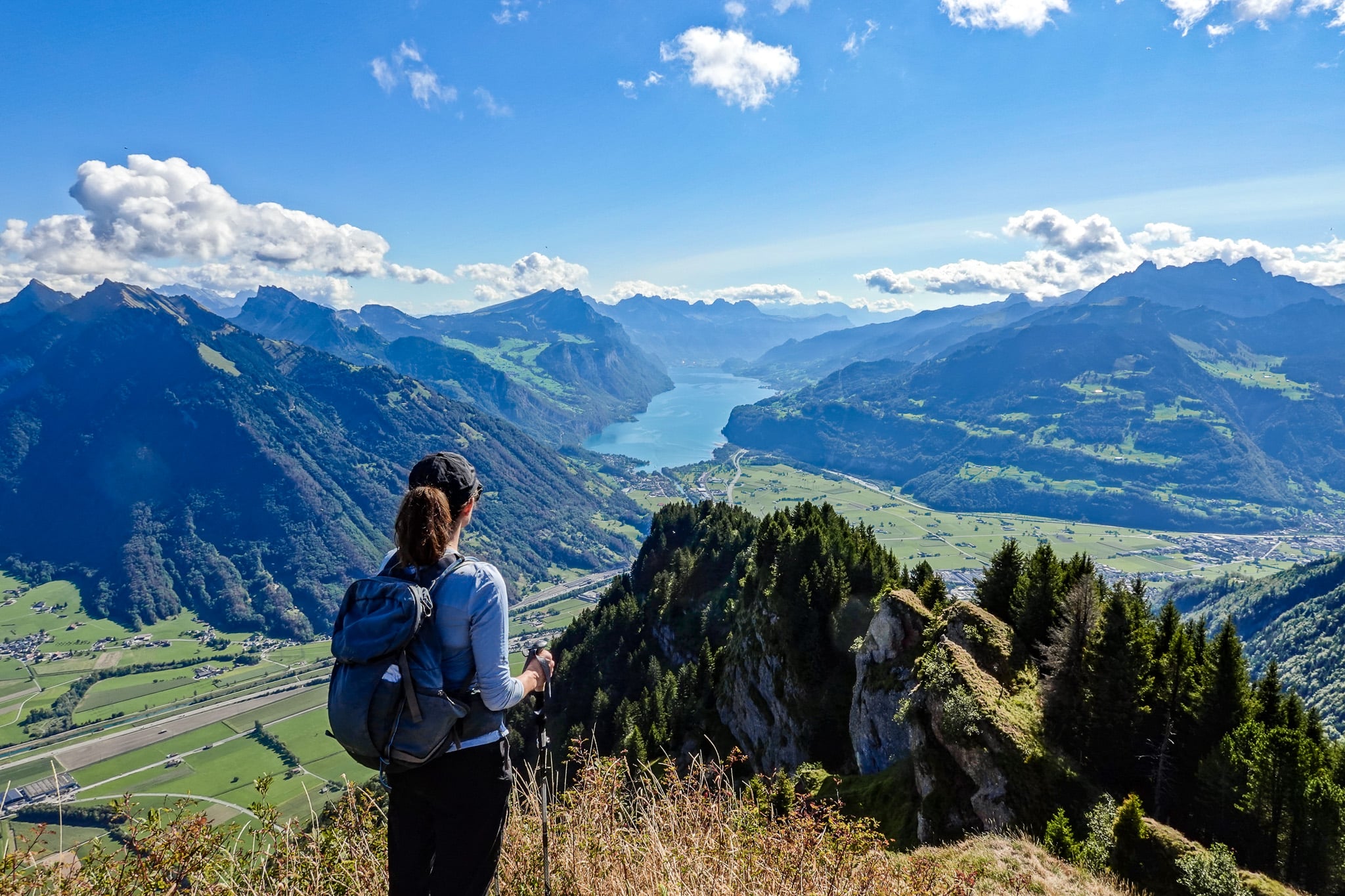
Glarus Hikes Map
For consistency (and hopefully your convenience), we've marked the starting points (trailheads) for the 11 best Glarus hikes. Feel free to use this map to help plan your hiking trip in the area.
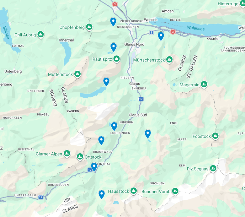
Below is a brilliantly illustrated map of the main hiking routes in Glarus. You can get a large, foldable physical copy of this map for free from just about any visitor centre in the area. You don't need one, but it's an option if you want it.
Top 11 Glarus Hikes
Without further ado, here are the best 11 Glarus hikes. We've listed them in order of our favourite hikes, starting with the Limmernsee Hike.
FYI – this list covers the best day hikes in Glarus, not multi-day options.
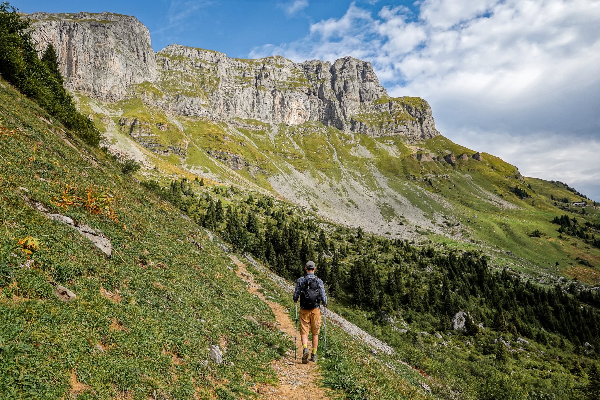
1. Limmernsee Hike
- Type: Loop
- Distance: 11.9km
- Time: 5 hours
- Accumulated elevation gain/loss: 820m
- Trailhead: Kalktrittli Mountain Cable Car Station
- Difficulty: Hard
- Map: AllTrails
The Limmernsee Hike is the only hike in Glarus I would consider a 'touristy' trail. Epic scenes from the viewpoint called Muttenchopf, which overlooks Limmernsee (AKA Lake Limmern), are definitely out there on social media. Plus, a fair few bloggers have already written about it. There is a reason for this.
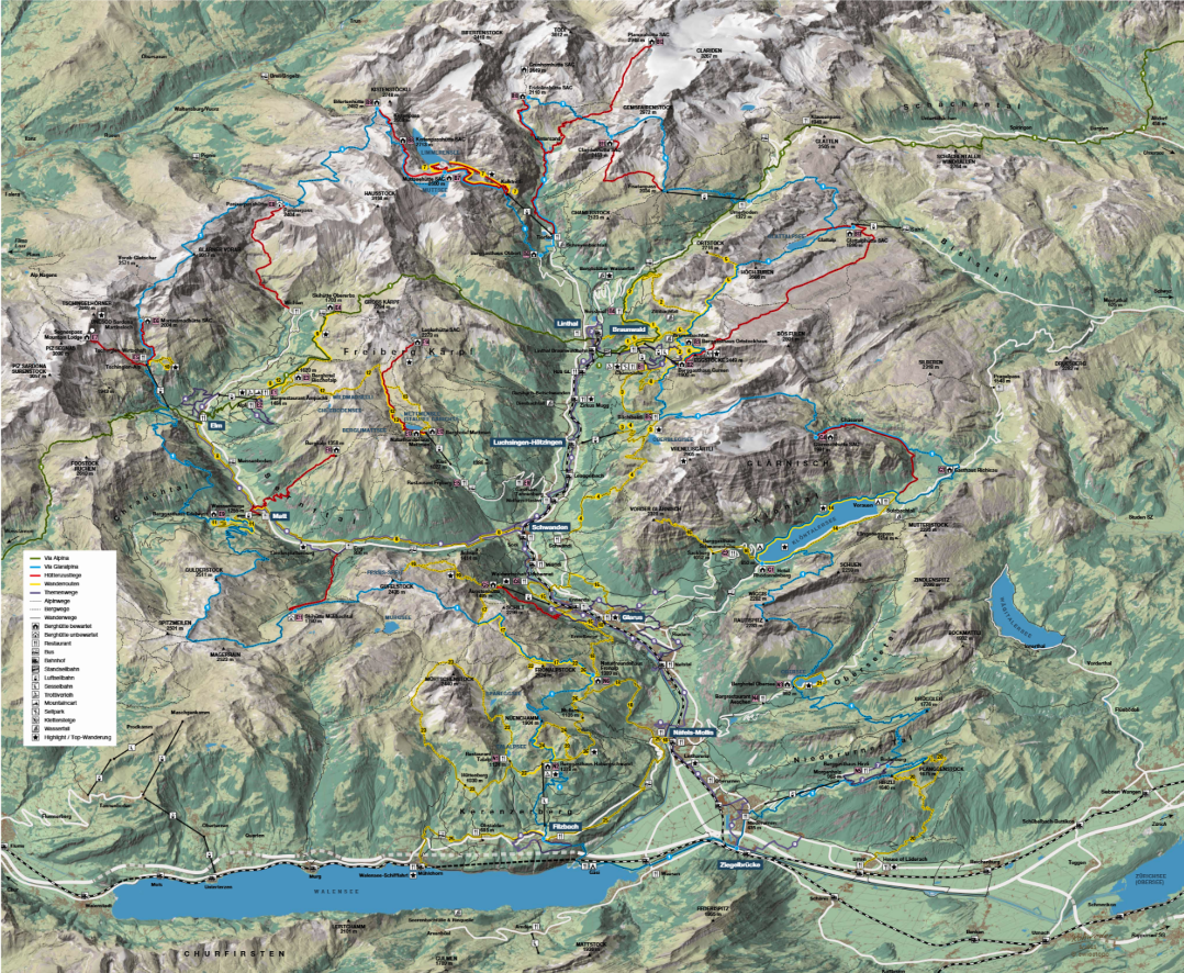
The views of Limmernsee from Muttenchopf are some of the best you'll find in Switzerland, let alone Glarus. Because this view is hard to beat, we think it deserves the number-one spot on the list.
Read more: Muttenchopf, Limmernsee Hike – How to Get to This Epic Lookout
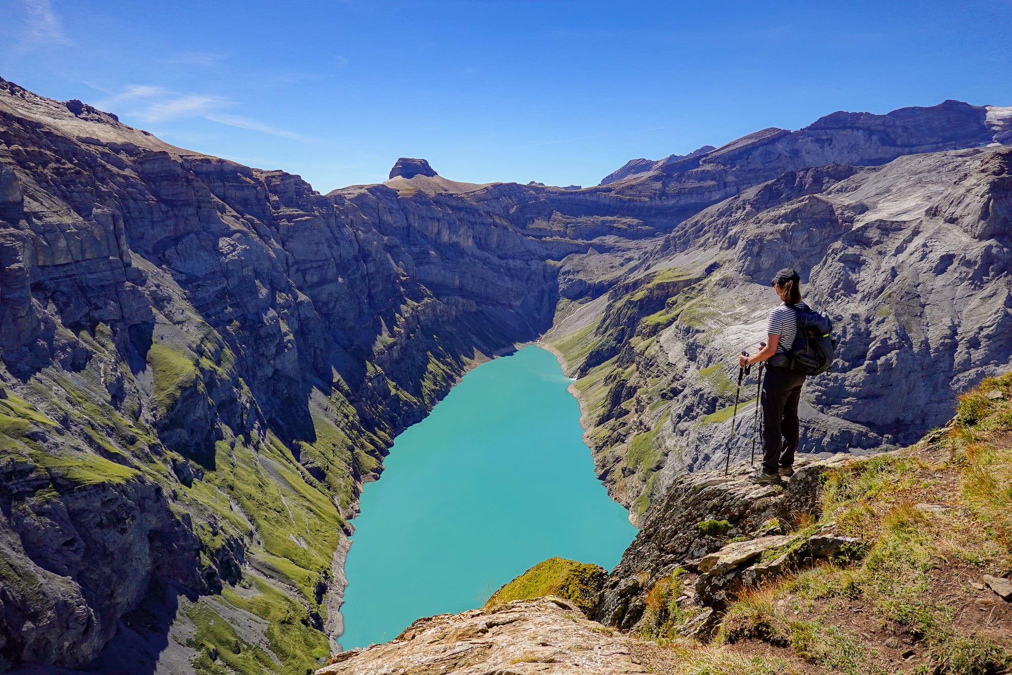
2. Klöntalersee Rundwanderweg
- Type: Loop
- Distance: 13.2km
- Time: 4 hours
- Accumulated elevation gain/loss: 145m
- Trailhead: Rhodannenberg (or Vorauen)
- Difficulty: Easy
- Map: AllTrails
Sure, you may argue that the Klöntalersee Rundwanderweg (Lake Klöntal Circular Hike) is nowhere near as thrilling and adventurous as the mountain hikes in Glarus. But the sheer beauty of Klöntalersee more than makes up for it.
Given that Limmernsee is technically an artificial reservoir, Klöntalersee is hands-down the most beautiful natural lake in the canton of Glarus. By hiking around it, you'll enjoy it from every angle.
Read more: Klöntalersee Rundwanderweg (Lake Klöntal Circular Hike)
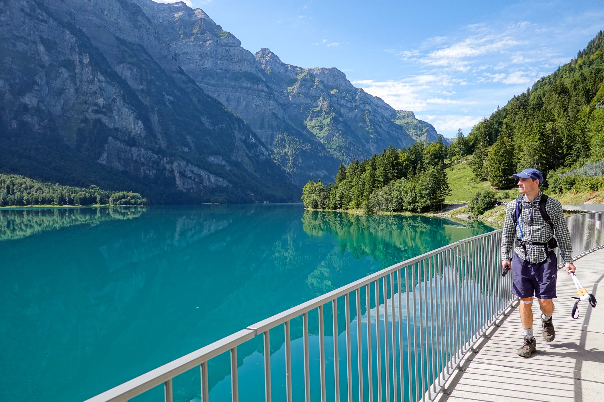
3. Braunwald Panoramaweg
- Type: Loop
- Distance: 9.3km
- Time: 3–4 hours
- Accumulated elevation gain/loss: 390m
- Trailhead: Grotzenbüel Cable Car Station
- Difficulty: Moderate
- Map: AllTrails
In our experience, Swiss panorama trails generally always deliver sublime views and compelling hikes. The Braunwald Panoramaweg (Panorama Trail) is no different.
The circular trail provides far-reaching views of the surrounding mountain ranges. In addition, there are several mountain huts/restaurants along the way, ensuring a thrilling yet comfortable hiking experience in Glarus.
Read more: Braunwald Panoramaweg (Panorama Trail) – The Complete Guide
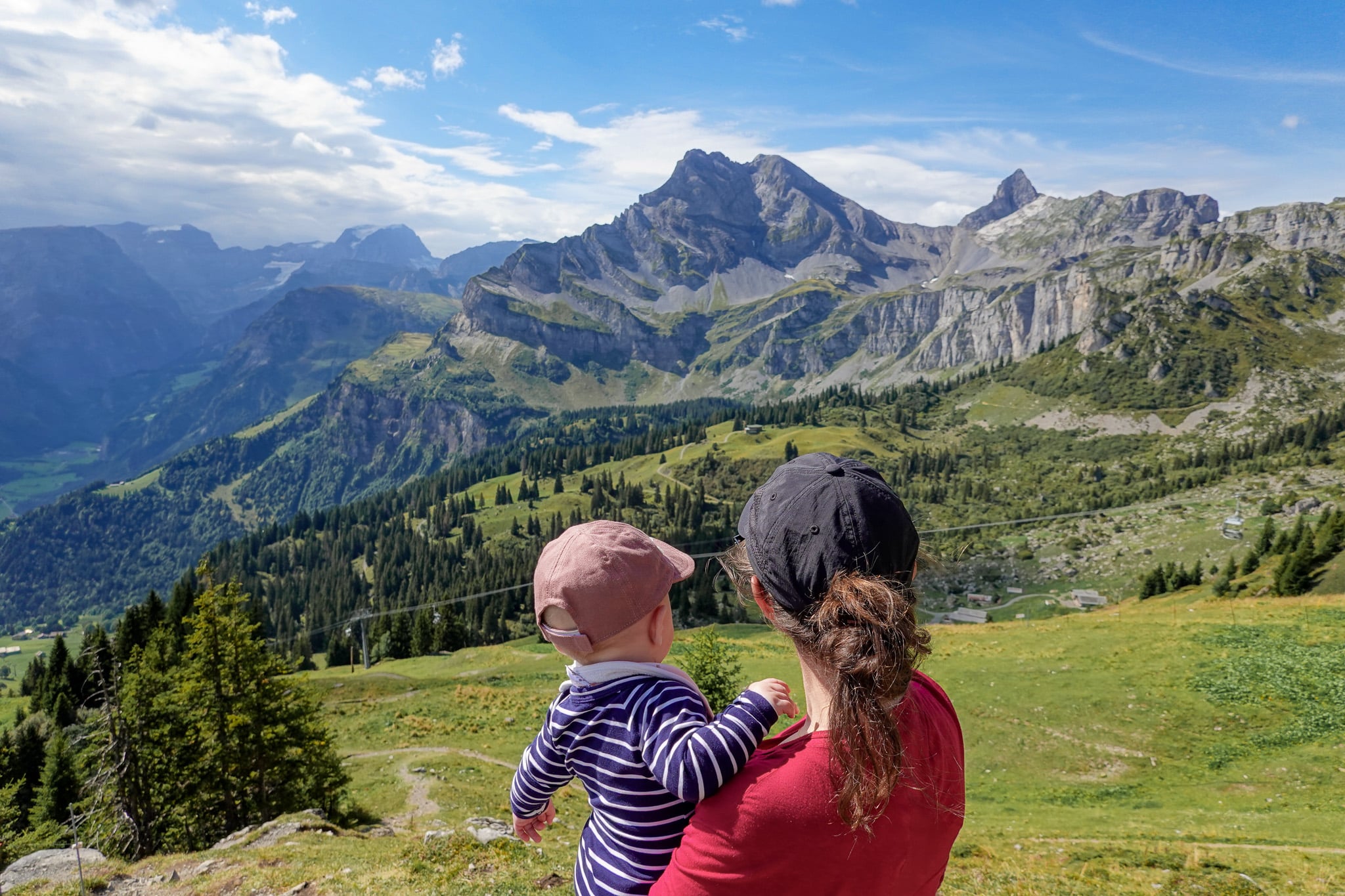
4. Hirzli Planggenstock Hike
- Type: Loop
- Distance: 8.7km
- Time: 3–4 hours
- Accumulated elevation gain: 725m
- Trailhead: Morgenholz Cable Car Station
- Difficulty: Hard
- Map: AllTrails
Beyond the views on the Limmernsee Hike, we think the Hirzli Planggenstock Hike offers the next best vantage points of mouthwatering natural scenery. Yes, the hike up from Morenholz to Hirzli is a little tedious. But the views from Hirzli and Planggenstock more than make up for that.
Plus, an epic ridgeline connects Hirzli and Planggenstock, and it's a joy to explore.
Read more: Hirzli Planggenstock Circular Hike From Morenholz
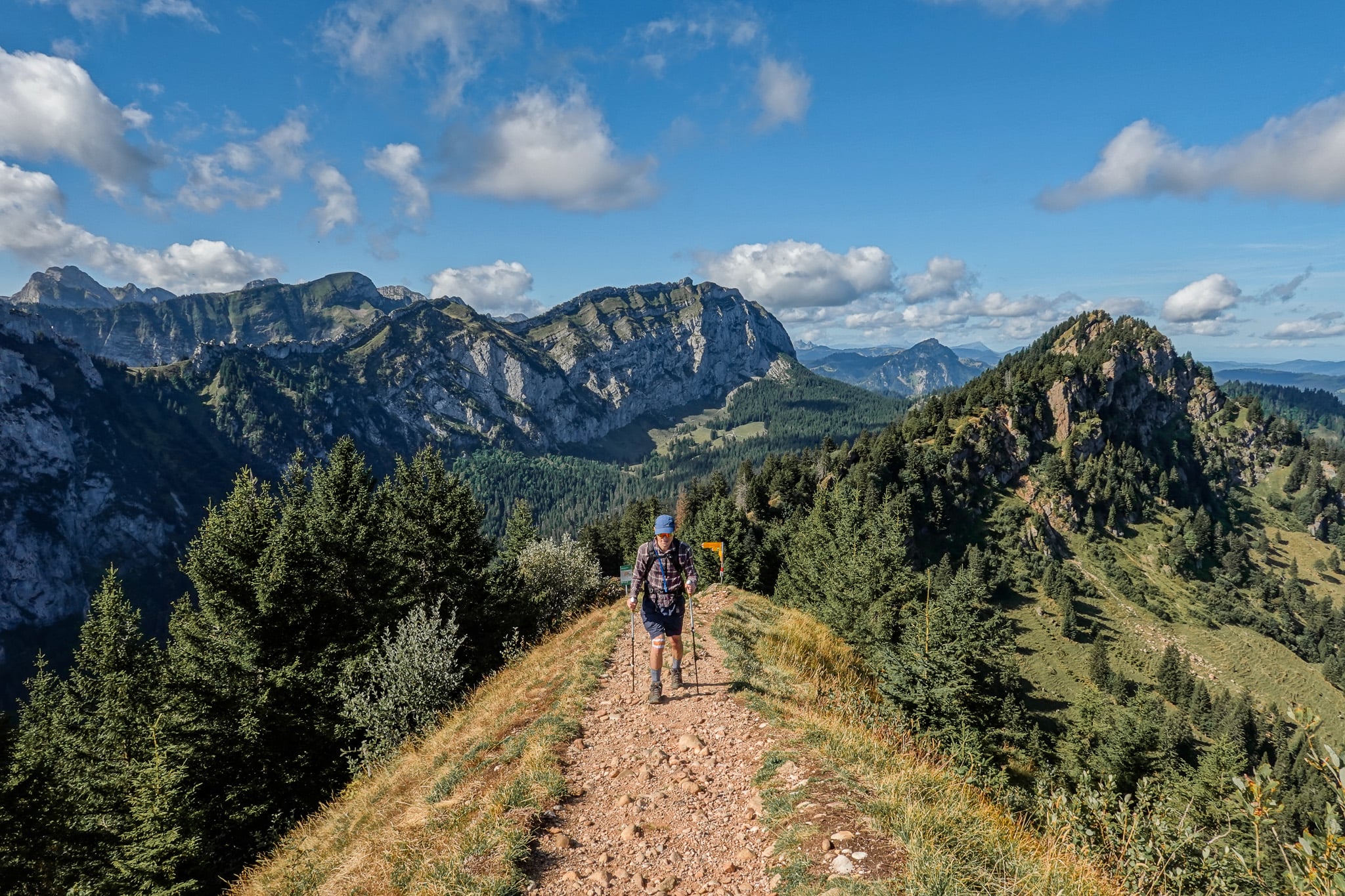
5. Oberblegisee Hike (Brunnenberg to Braunwald)
- Type: One-way
- Distance: 10.1km
- Time: 4 hours
- Accumulated elevation gain: 510m
- Accumulated elevation loss: 375m
- Trailhead: Brunnenberg
- Difficulty: Moderate
- Map: AllTrails
Several route variations reach the pristine Oberblegisee (Lake Oberblegi). Personally, we hiked from Brunnenberg to Braunwald via Oberblegisee and thoroughly enjoyed it. Read our guide for details on all Oberblegisee route variations and choose the one that best suits you.
Whichever route you choose, we have no doubt you'll be blown away by Oberblegisee's beauty.
Read more: Oberblegisee Hike: Brunnenberg ↔ Braunwald via Oberblegisee
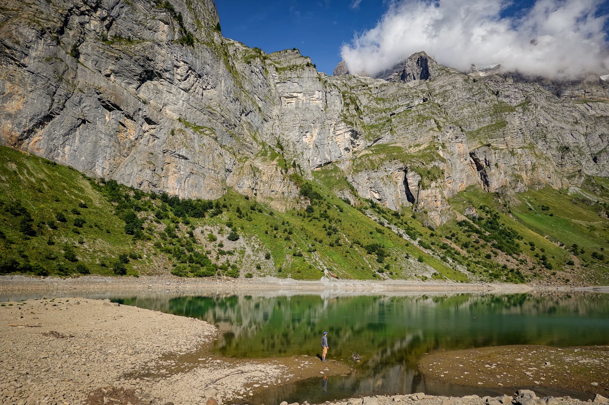
6. Habergschwänd Talalpsee Hike
- Type: Loop
- Distance: 4.7km
- Time: 1.5–2 hours
- Accumulated elevation gain/loss: 195m
- Trailhead: Habergschwänd Mountain Chair Lift Station
- Difficulty: Easy
- Map: AllTrails
Alongside Limmernsee and Klöntalersee, Talalpsee (AKA Talsee) is one of Glarus's best attractions. We wouldn't go so far as to call it a tourist hotspot, but it's definitely a hotspot for locals, especially in summer and on weekends.
This is well and truly justified, as the Alpine lake and the valley it sits in are truly divine. Only a short walk is required to reach the lake, so it's excellent bang for buck.
Read more: Habergschwänd Talalpsee Hike – Everything You Need to Know
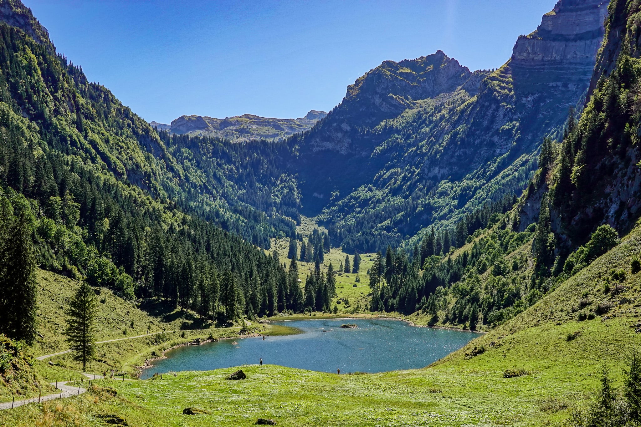
7. Kärpfwanderung
- Type: One-way
- Distance: 9.6km
- Time: 4.5 hours
- Accumulated elevation gain/loss: 720m
- Trailhead: Mettmen Cable Car Station
- Difficulty: Moderate
- Map: AllTrails
Kärpfwanderung (Kärpf Hike) is one of Glarus's lesser-known hikes. Spanning between Mettmen and Ämpächli, the trail meanders through the Freiberg Kärpf, Europe's oldest wildlife reserve.
Unlike typical Swiss hiking trails, expect to see wildlife on this hike. We certainly did! During the hike, you'll also summit Wildmadfurgelli (Wildmad) and see Chüebodensee, yet another sublime lake in Glarus.
Read more: Kärpfwanderung – Hiking to Wildmadfurggeli and Chüebodensee
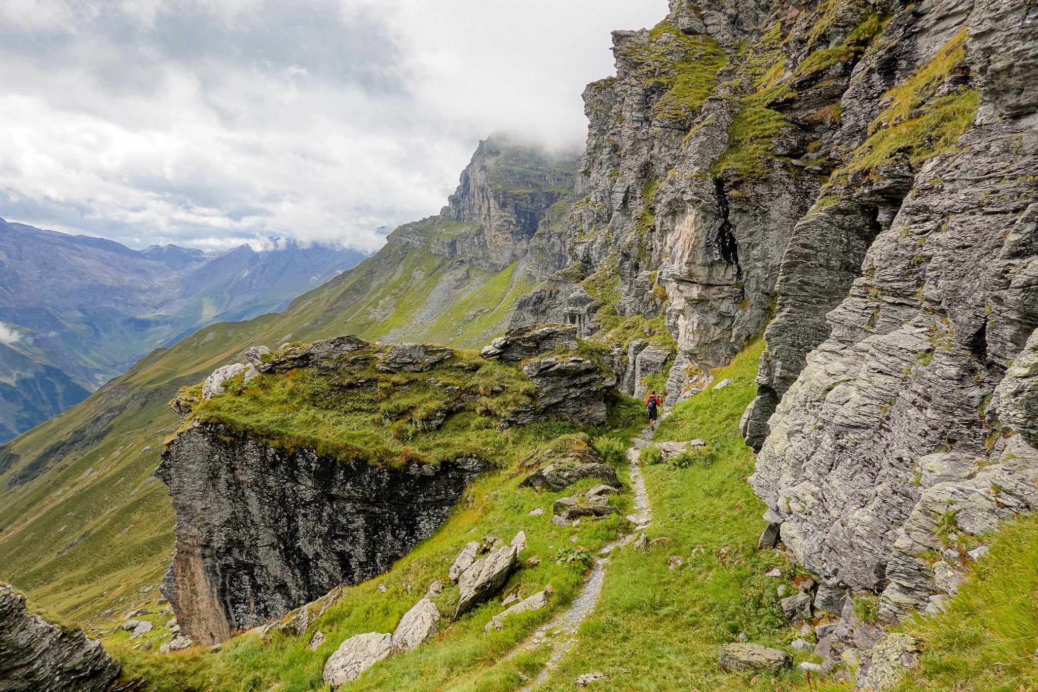
8. Schabziger Höhenweg
- Type: One-way
- Distance: 7.4km
- Time: 2.5–3 hours
- Accumulated elevation gain/loss: 350m
- Trailhead: Habergschwänd (or Naturfreundehaus Fronalp)
- Difficulty: Easy
- Map: AllTrails
We think people often dismiss the Schabziger Höhenweg (Mountain Trail) as merely a themed historical trail about the region's traditional cheese, Schabziger. But it's much more than that.
The Schabziger Höhenweg still offers thrilling hiking and stunning Alpine views, like many of the better-known Glarus hikes.
Read more: Schabziger Höhenweg – Everything You Need to Know
9. Ahornen Rundweg
- Type: Loop
- Distance: 11km
- Time: 3.5–4.5 hours
- Accumulated elevation gain: 660m
- Trailhead: Parkplatz Obersee
- Difficulty: Medium
- Map: AllTrails
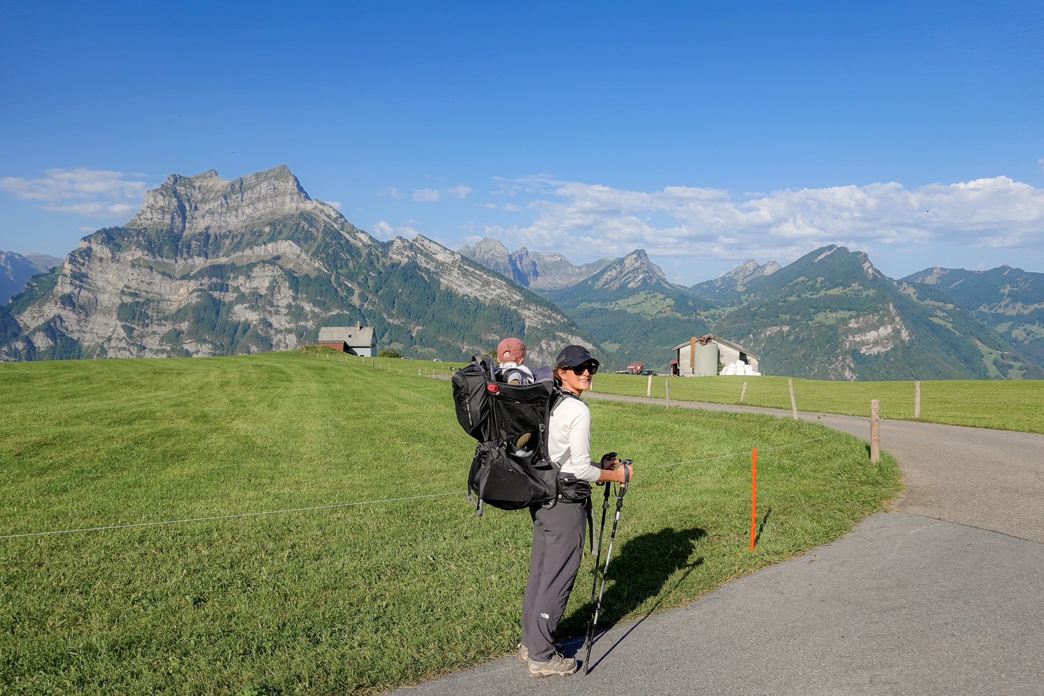
The Ahornen Rundweg (Loop Walk) is one of the most popular circuit trails in the canton of Glarus. The loop encompasses diverse landscapes, including pinewood forests and Alpine meadows, plus a spectacular valley and lake (Lake Obersee). No wonder this area has been nicknamed Little Switzerland-Canada.
Read more: Ahornen Rundweg – Hiking at Lake Obersee in Näfels
10. Holzflue Rundweg
- Type: Loop
- Distance: 4.3km
- Time: 1.5–2 hours
- Accumulated elevation gain/loss: 390m
- Trailhead: Aeugsten Cable Car Station (Bärenboden)
- Difficulty: Moderate
- Map: AllTrails
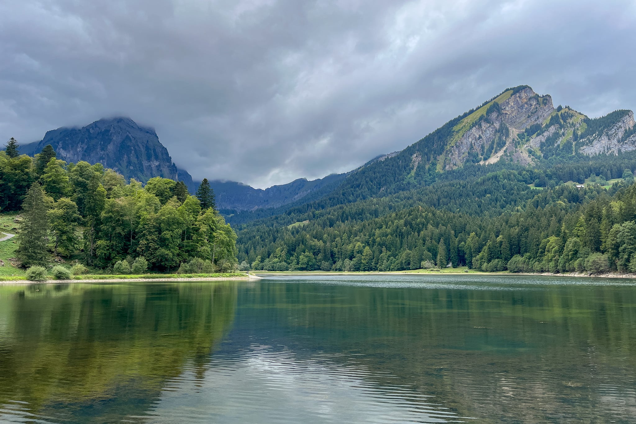
The Holzflue Rundweg is a short yet steep loop trail in Aeugsten, a scenic mountain area and a gateway to the UNESCO World Heritage-listed Tectonic Arena Sardona. This hike offers some of the best views of the Glarus Alps and Linth Valley.
Read more: Holzflue Rundweg (Holzflue Circular Trail) – The Ultimate Guide
11. Berglistüber Waterfall Hike
- Type: Out & Back
- Distance: 0.7km
- Time: 10–20 minutes
- Accumulated elevation gain: 15m
- Trailhead: Klausenstrasse
- Difficulty: Easy
- Map: AllTrails
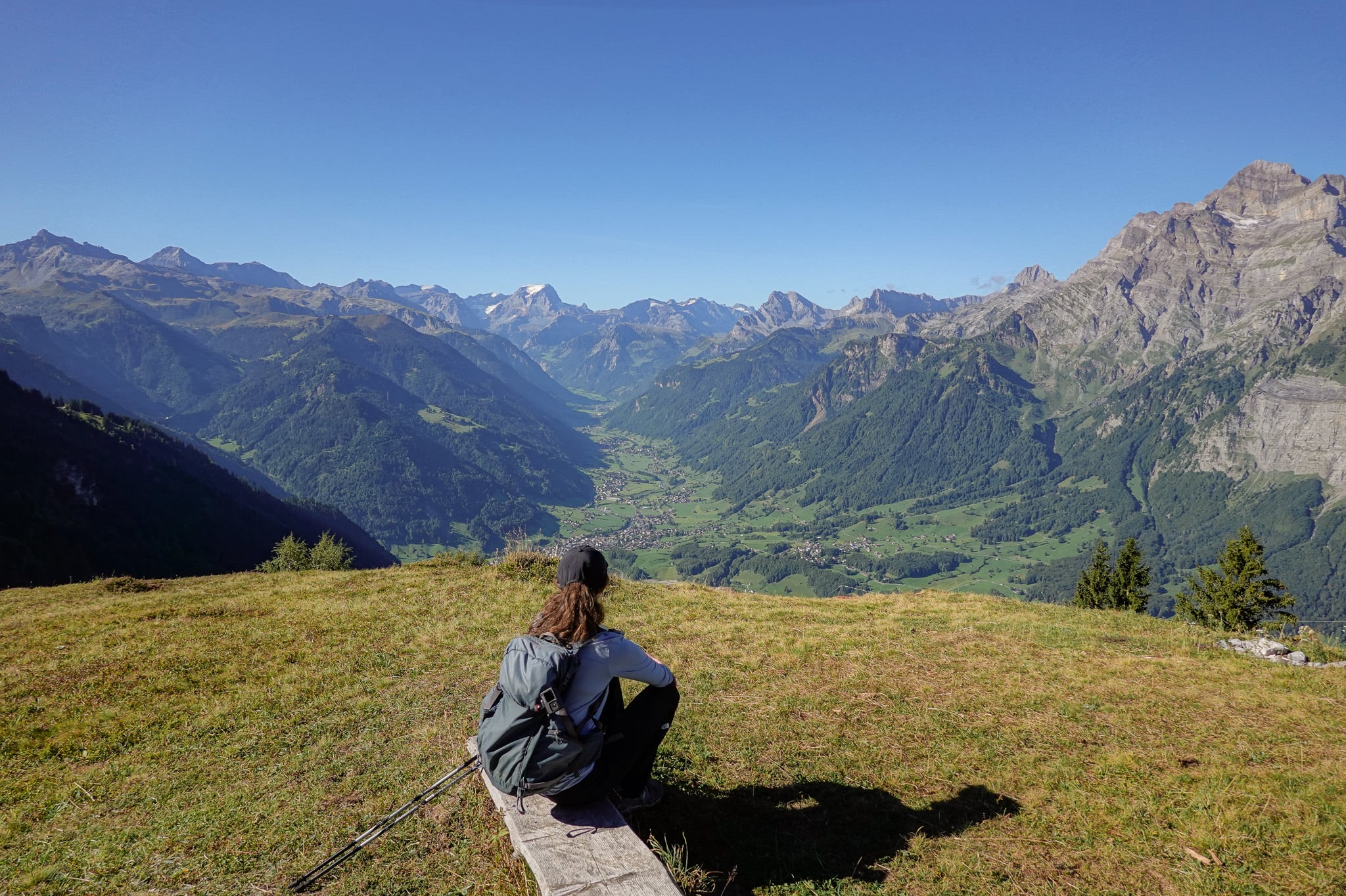
You may argue that the Berglistüber Waterfall Hike is barely a hike, more of a short walk. Still, it has a genuine hiking trail and requires careful navigation to reach the waterfall from behind. So we're comfortable naming this a proper hike and think it's justified being on the list.
This hike is short yet thrilling, leading to the best waterfall in the canton of Glarus.
Read more: Berglistüber Waterfall Hike, Linthal – The Ultimate Guide
The Best of the Rest Glarus Hikes
Of course, there are many other fantastic Glarus hikes. While planning, we came across other hikes we would have loved to do if we had more time.
If you have more time to hike in Glarus than we did and want to do a few more, we consider the hikes below the best remaining options.
- Schoggigrat Ridge Hike (AKA Glarner Ridge Hike and Stage 17 of the Via Glaralpina)
- Fronalpstock
- Alta Via Elm
- Vorder Glarnish
- Rautispitz and Wiggis
- Ziegelbrücke to Federispitz
Tips For Hiking in Glarus
Below are some general practical tips that are useful to know if you plan to hike in the area.
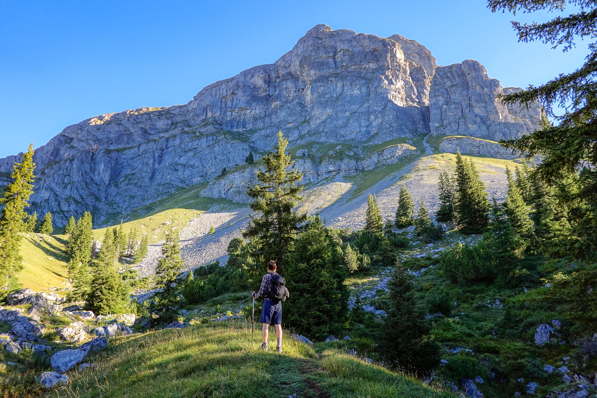
- Be prepared: sure, the mountains in the canton of Glarus aren't quite as high as the Swiss Alps further south. Still, you're in the mountains! Have the right gear and check the weather before you set off.
- Check the weather: we used the MeteoSwiss website/app. The SRF website/app is another option, but only the MeteoSwiss app is in English.
- Best apps to use for navigation: we tend to use AllTrails. We found that some lesser-known Glarus hikes weren't on AllTrails but were on Outdooractive. You may also want to use the SwitzerlandMobility app.
- Trail signage/markings: as is the case throughout Switzerland, the trails in Glarus are thoroughly signposted and marked.
Tips For Planning Your Hikes
- Public transport: Glarus has a decent public transport system, with buses and trains connecting the main hubs. You can use public transport to access many of the listed hikes. Download the SBB Mobile app to help plan your journey.
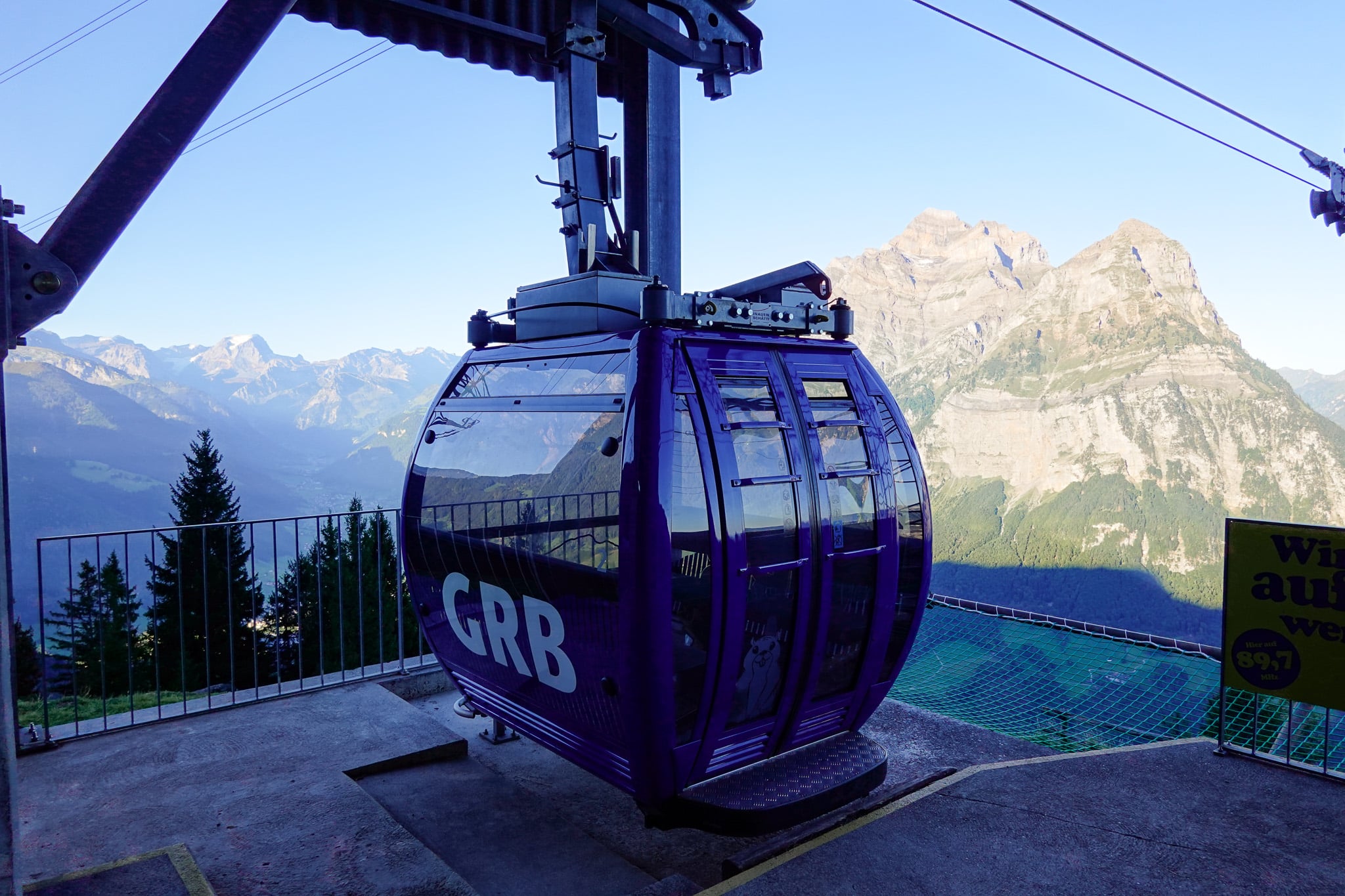
- Cable car, funicular railway and chair lifts: you'll need to use these services to access the trailhead for most of the hikes listed. In the blog posts we've published about each Glarus hike listed, we've detailed everything you need to know about using these services.
- Glarnerland Pass: by booking at least one night's accommodation in the canton of Glarus, you'll gain access to the Glarnerland Pass by paying the tourist tax. Truth be told, we were disappointed by the lack of discount the pass offers on cable car rides. With that in mind, its best feature is free use of the Braunwaldbahn, the funicular railway you need to access Braunwald. Otherwise, you do get free use of public transport in the canton.
- Other discount travel passes: If you're not staying in Glarus (and don't have the Glarnerland Pass), consider a Swiss travel card for discounted public transport. Like the Glarnerland Pass, Swiss travel cards generally don't discount cable cars or chairlifts. At best, the Swiss Half-Fare Card gives you 50% off the Braunwaldbahn.
How to Get to Hikes in Glarus
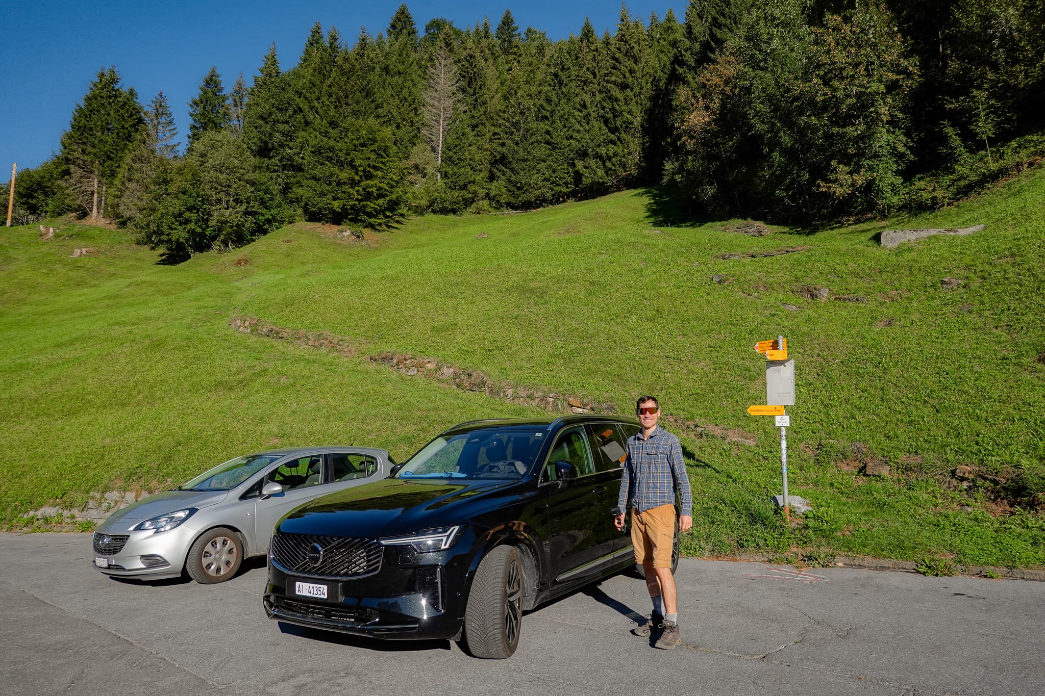
As mentioned, you can reach most hikes in Glarus by public transport (bus/train). But not all of them. For ultimate convenience, we recommend hiring a car. We did so from Zurich Airport.
By hiring a car, we could easily access hikes at the times of day that best suited us, without being restricted by public transport.
Car Hire

If you don't have your own car, you should hire one using Discover Cars. Personally, we use Discover Cars and highly recommend them for finding your ideal car hire at an affordable price. Booking online is super easy and the free cancellation policy is great.
To find out more about renting a car with Discover Cars, read our Discover Cars review and Discover Cars Insurance review.
A note on parking: if you hire a car, make sure the rental company provides a parking disc (blue zone disc). In some parking areas (such as the Niederurnen Cable Car Station Car Park required for the Hirzli Planggenstock Hike), you're expected to display it on the dashboard (showing your arrival time) to access free parking.
If your rental car is missing one, you can easily buy an official blue parking disc for a small fee at any Swiss petrol station, kiosk, bank or tourist office.
Where to Stay in Glarus
If you're exploring Glarus, you can really stay anywhere in the canton. Personally, we stayed in Filzbach in Glarus Nord, and we can highly recommend this quaint, quiet village.
To find the perfect place to stay in Glarus, we recommend using Booking.com.
Travel Insurance For Glarus Hikes
Travel insurance is a no-brainer. Of course, the need for travel insurance increases if you plan outdoor adventures, such as mountain hiking.
All of the hikes in this guide stay under 3,000 metres above sea level. When choosing travel insurance, make sure the provider covers hiking at the necessary altitude.
For instance, at the time of writing, Heymondo covers hiking up to 3,000 metres as part of their standard cover.
Heymondo is one of the best budget travel insurance providers on the market. They provide comprehensive travel and medical insurance that won't break the bank. Whether it's single trip insurance, annual multi-trip insurance or long stay insurance, Heymondo offers affordable travel and medical insurance to suit all of your needs.
Personally, we use Heymondo travel insurance and highly recommend it. To find out more about Heymondo travel and medical insurance, read our Heymondo travel insurance review.
Travel Insurance

Don't leave for your trip without booking travel insurance. We all know accidents can happen and having Heymondo travel insurance could save you thousands of dollars if something goes wrong. Click the button below to receive a 5% discount!
Glarus Hikes FAQs
For some final tipbits, have a gander at these FAQs.
How to Get to Glarus?
If you're travelling from abroad, you'll fly to Zurich Airport. From there, you can take the train to Glarus. Personally, we hired a car from Zurich Airport and drove to Glarus.
Best Time of Year to Hike in Glarus?
Generally, the best time to hike in Glarus (and Switzerland as a whole) is between April and October. Outside this time, many hikes are inaccessible (or much harder to reach) because certain transport services close. In addition, snow conditions may make the trails unhikeable (unless that's your thing!)
Of course, the summer months (June to August) bring the best weather and perhaps the best hiking conditions. But because it's peak season, accommodation and flight costs are higher. With that in mind, the sweet spot may be September, outside peak season but with decent weather.
In terms of shoulder season (April/May vs September/October), September/October wins, as summer has given time for the snow to melt, meaning more hikes are likely to be accessible than in April/May.
Is it Worth Hiking in Glarus?
A hundred times over, yes! We had an absolute ball hiking in Glarus in early September. Personally, this was our first hiking trip with our son. So Glarus will always have a special place in our hearts.
That said, even without the emotional aspect, Glarus is a terrific, underrated Swiss hiking destination.