Oberblegisee Hike: Brunnenberg ↔ Braunwald via Oberblegisee
Oberblegisee is a stunning Alpine lake in the canton of Glarus (Glarnerland). To visit the lake, you'll need to hike there. There are countless Oberblegisee hike options. In the end, Beck and I did the hike between Brunnenberg and Braunwald via the impressive lake.
In this guide, we'll focus on this option, sharing our experience doing it. For completeness, we'll then cover the other most popular Oberblegisee hiking route options.
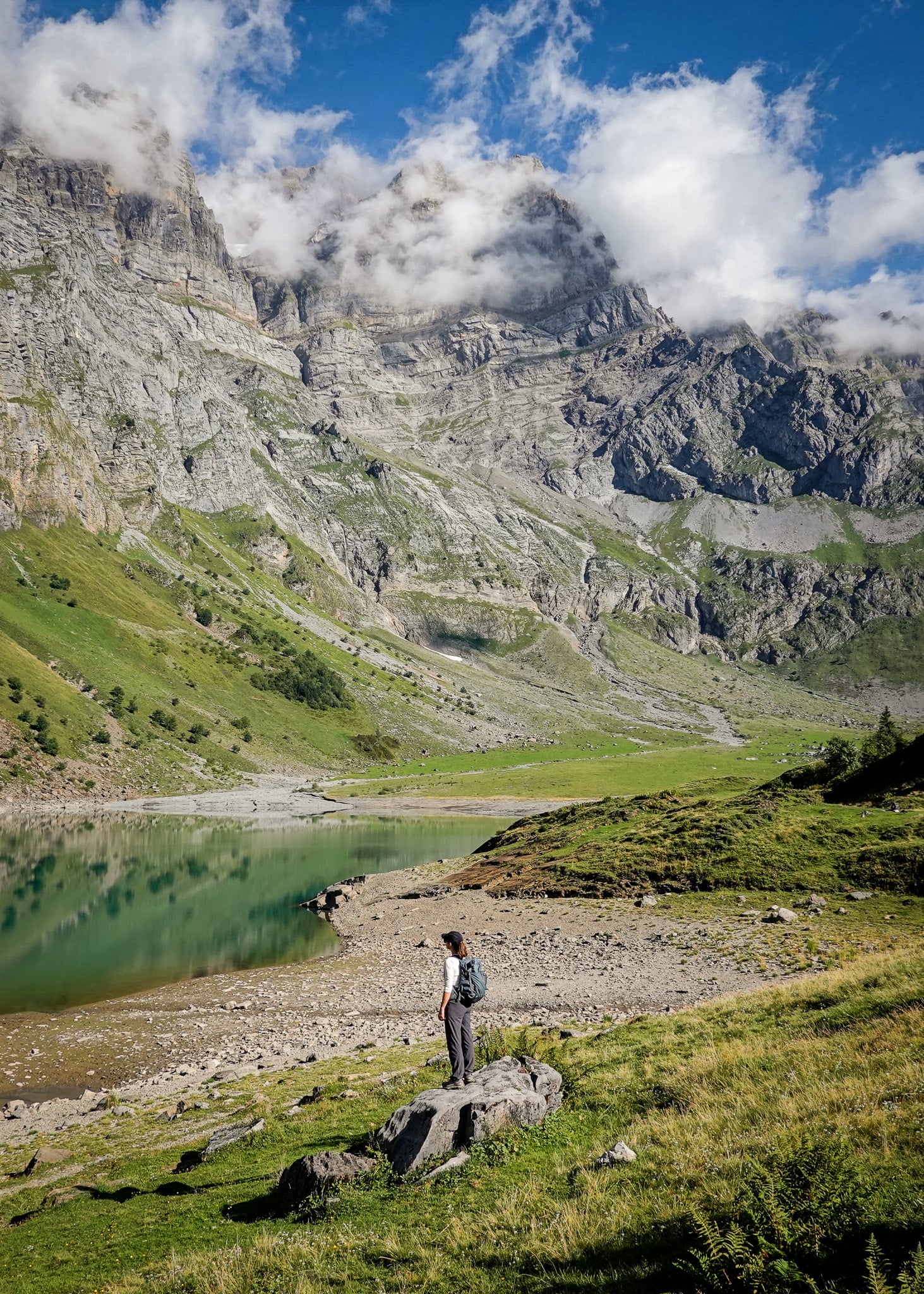
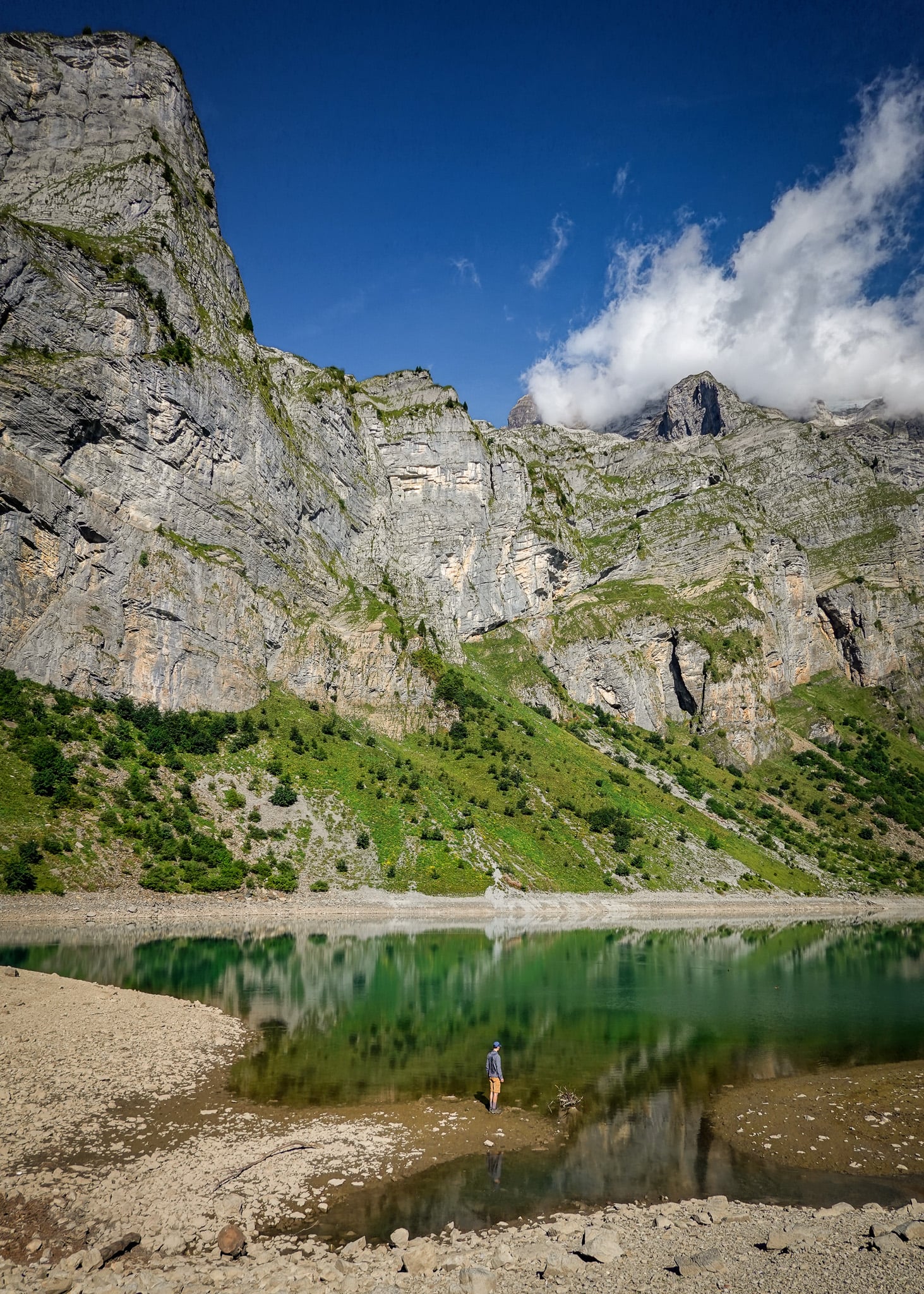
Table of Contents
Braunwald Oberblegisee Weg
Braunwald Oberblegisee Weg (Trail) is officially recognised as route number 810. This route is between Brunnenberg and Grotzenbüel via Oberblegisee.
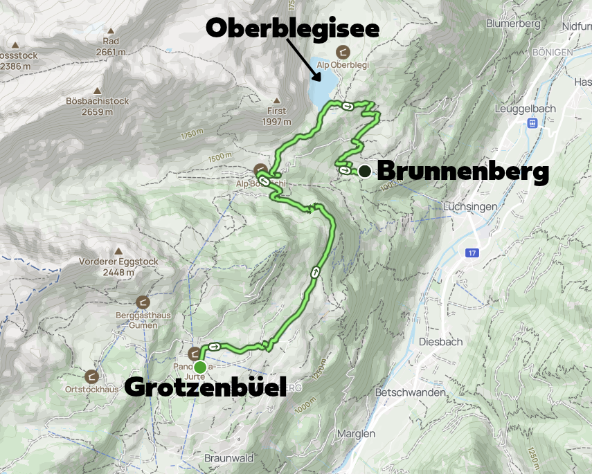
Beck and I didn't do this route exactly. We did an extended version starting in Brunnenberg. Then, instead of hiking to Oberblegisee and then Grotzenbüel, we hiked to Oberblegisee and then beyond Grotzenbüel, all the way to the village of Braunwald.
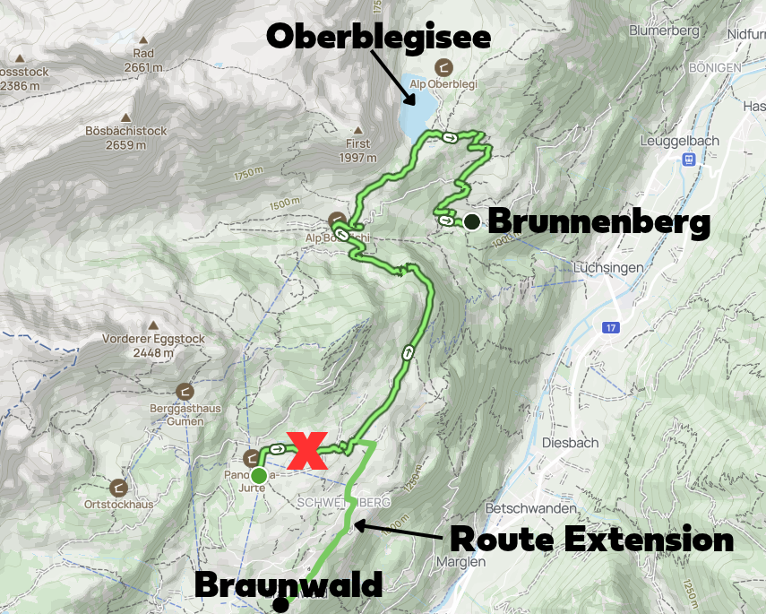
Why did we do this? Let us explain below!
Travel Insurance

Don't leave for your trip without booking travel insurance. We all know accidents can happen and having Heymondo travel insurance could save you thousands of dollars if something goes wrong. Click the button below to receive a 5% discount!
Brunnenberg to Braunwald Hike via Oberblegisee
First, we chose to hike atypically southward (to, not from Braunwald). Many people hiking to Oberblegisee stay in the popular village of Braunwald and so understandably start the hike from the village.
We weren't staying in Braunwald. Plus, we wanted to have lunch in the village after the walk. That's why we started the hike at the opposite end, in Brunnenberg.
Second, this option was cheaper. By finishing (or starting) the walk in the village of Braunwald, you skip the cable car ride between Grotzenbüel and Braunwald.
Third, we wanted to explore the car-less village of Braunwald on foot. By skipping this cable car, you can see more of the village at your own pace.
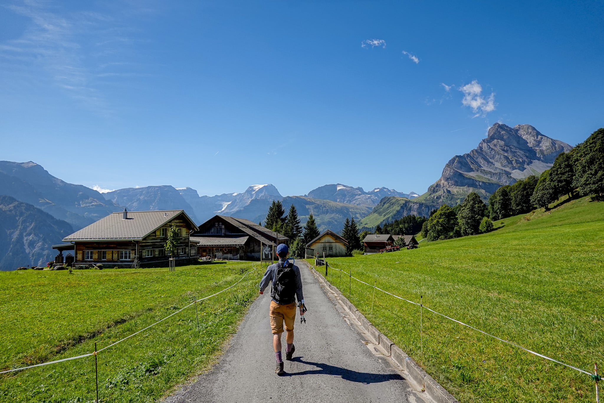
Our Oberblegisee Hike Experience
Below, we'll share our experience of doing the hike from Brunnenberg to Oberblegisee to Braunwald.
Instead of doing this hike with our baby boy, Beck and I decided it was best to meet him (and Beck's parents) in Braunwald afterwards.
After getting dropped off at the Luchsingen cable car station, we caught the cable car to Brunnenberg to start the hike. For the most up-to-date timetable and prices, visit the official Braunwald tourism website. Beck and I paid CHF 12 each for this one-way cable car ride.
Meanwhile, the others drove to Linthal to catch the Braunwaldbahn (funicular) to Braunwald, where we'd meet for lunch.
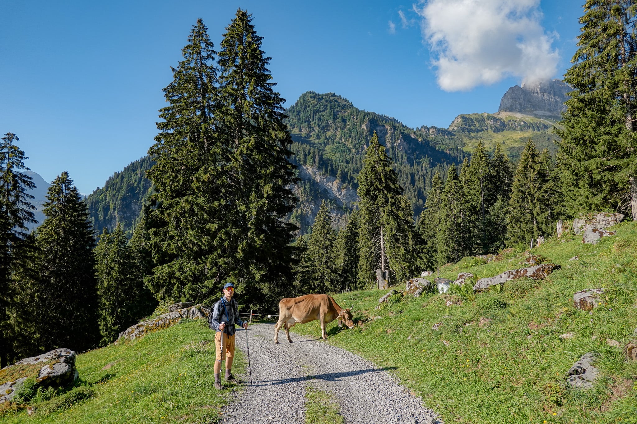
Brunnenberg to Oberblegisee
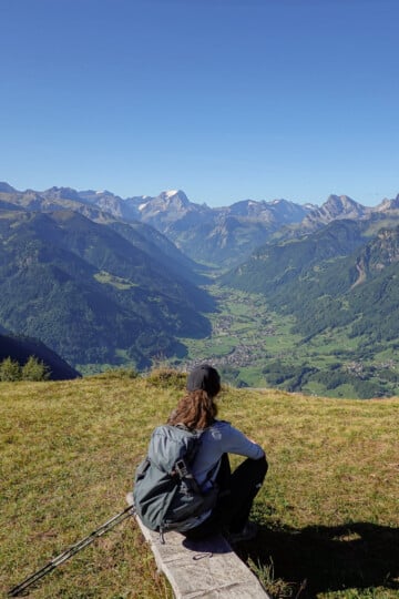
We were blessed with glorious blue skies for our Oberblegisee Hike. To make the most of the day, we caught one of the earliest cable cars to Brunnenberg. That gave us plenty of time to hike and still make it to lunch on time!
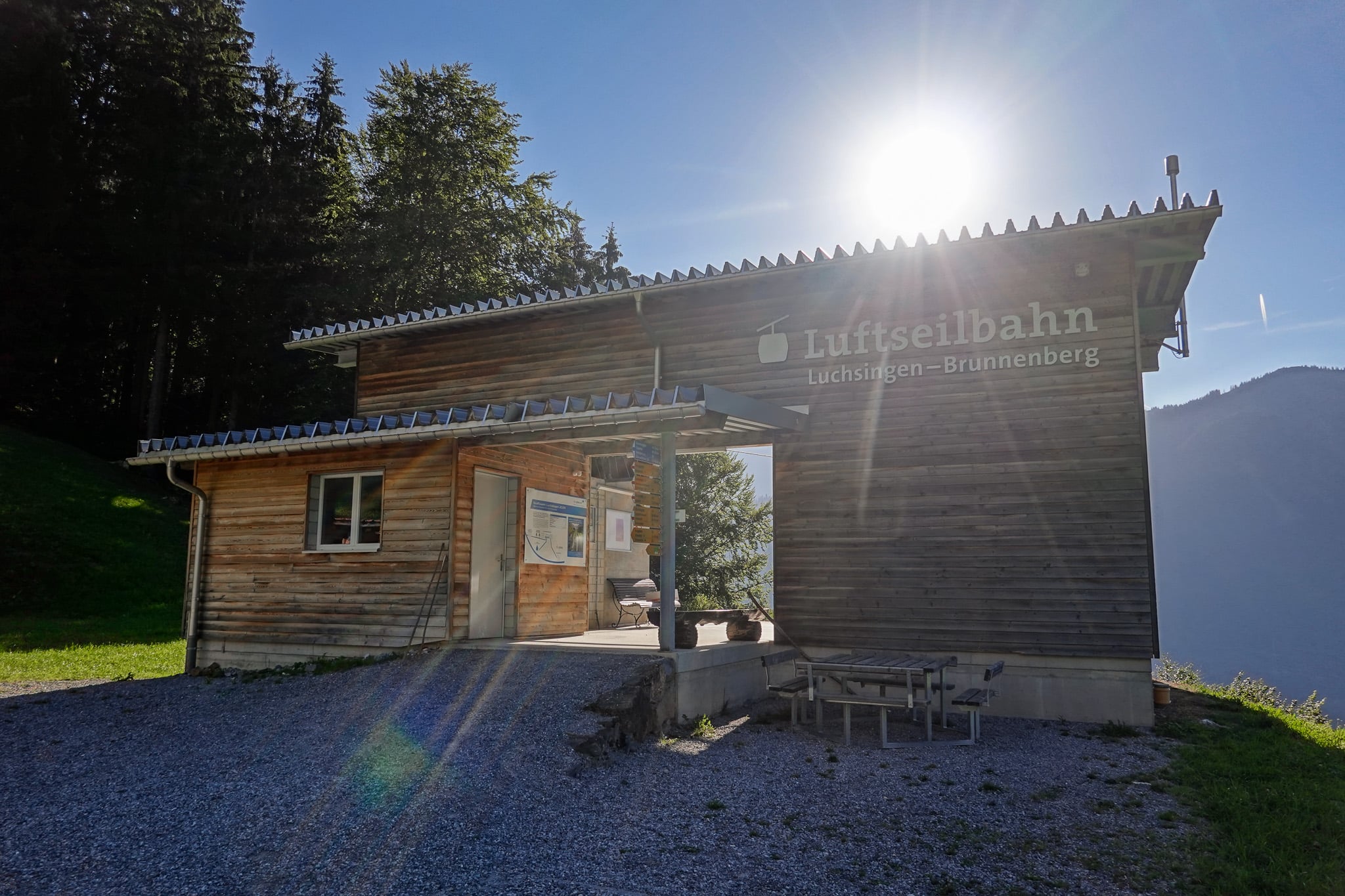
After passing a human-made reservoir at the cable car station, you'll commence a gruelling climb through farmland to reach Oberblegisee. Beck really led the charge on the ascent, as I struggled behind!
After a short, sweaty slog, we reached a flat, meandering trail leading to the lake. We were definitely relieved to have finally reached it!
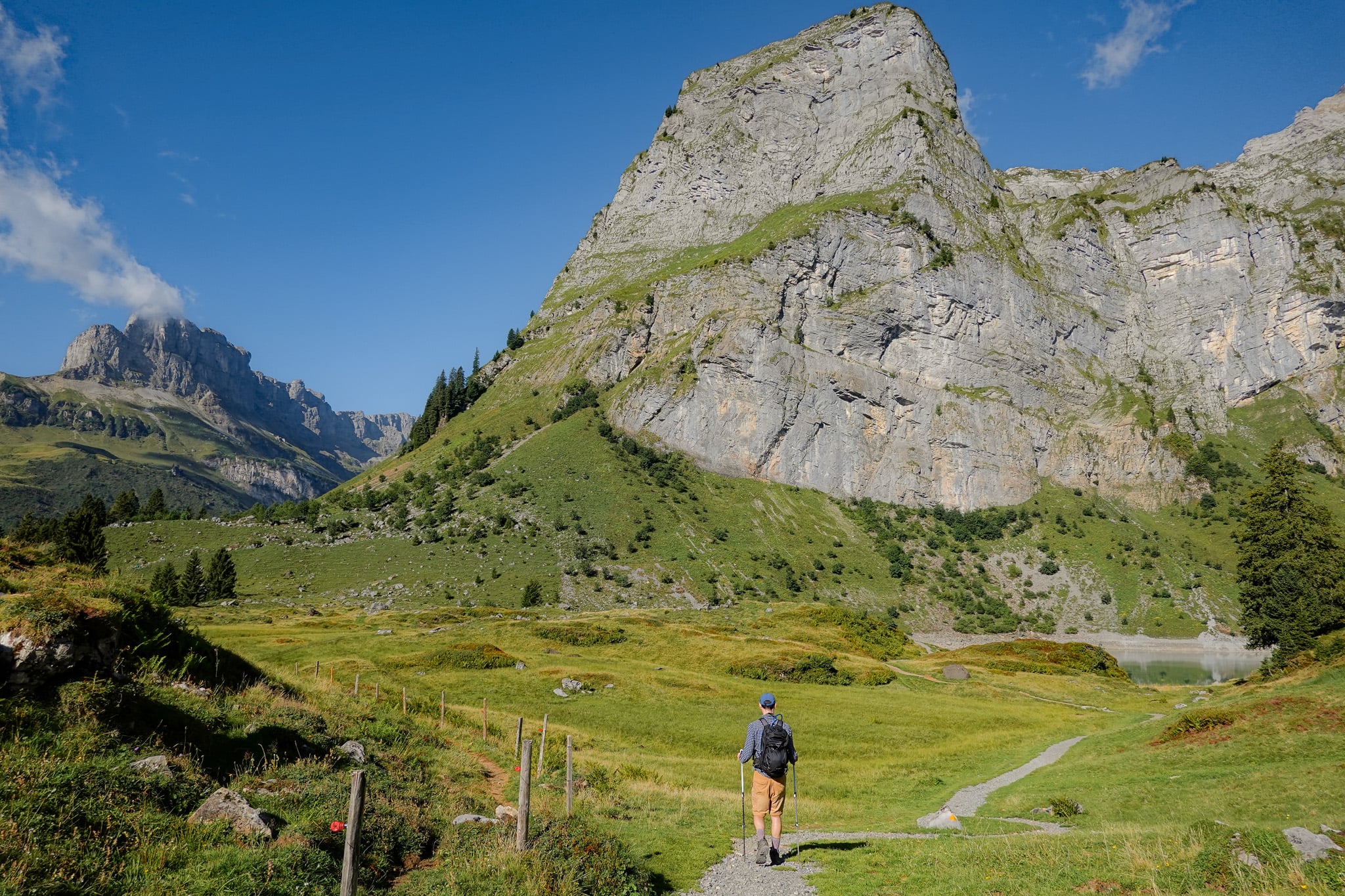
Oberblegisee (Lake Oberblegi)
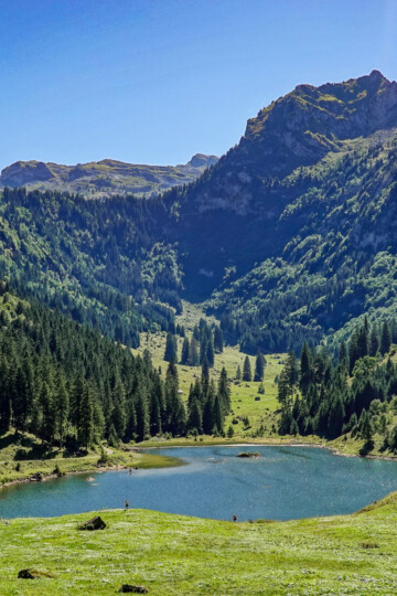
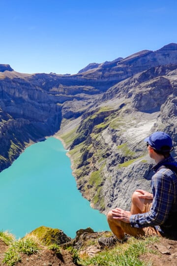
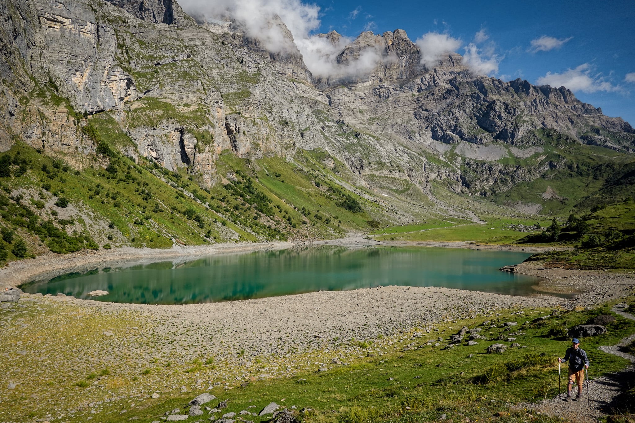
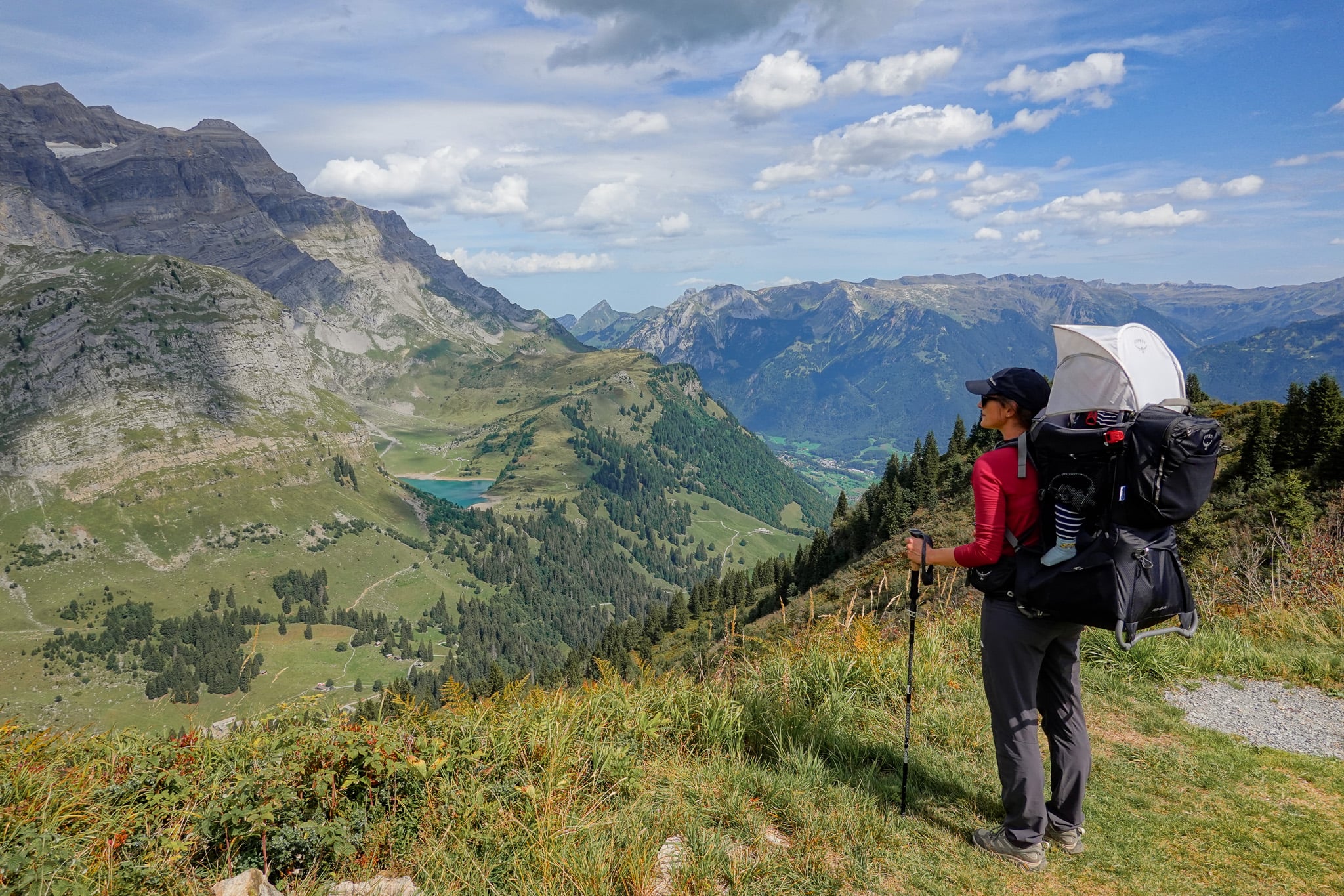
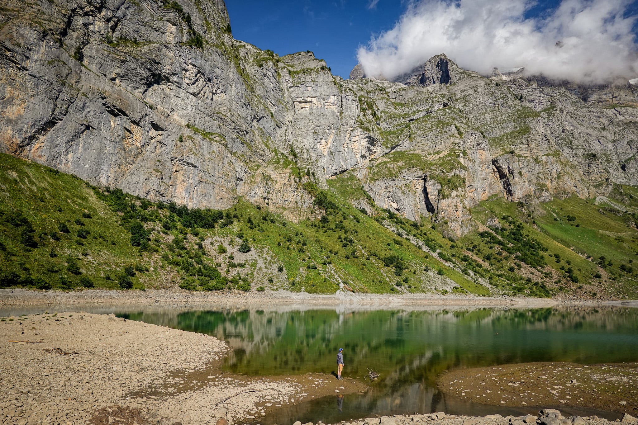
Oberblegisee is a truly spectacular Alpine lake. To be honest, we expected at least a semi-decent lake, since it's the highlight of the walk. But what surprised us was the immense mountains surrounding the lake.
The Glärnisch massif is a heavily glaciated range of mountains overlooking the lake and the wider Linth valley. Several waterfalls pour off the massif, which feeds the lake.
Beck and I were more than happy to take a well-deserved break here to take in the mountain and lake views.
Oberblegisee to Braunwald
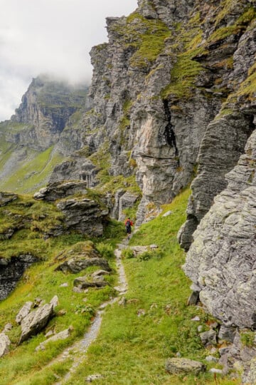
After enjoying Oberblegisee, the hike continues toward Braunwald. Along the way, you'll enjoy a mix of mountain and forest scenery.
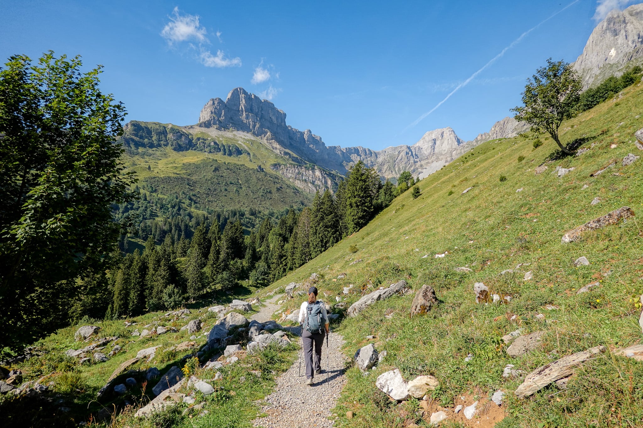
Soon, you'll pass by a mountain hut called Bächibeizli (formerly known as Bächistübli). We saw a group sitting outdoors enjoying beers in the sun. Yes, we were tempted to stop to follow suit. But our boy was waiting for us in Braunwald, so on we went!
Eventually, the hiking trail makes way for a mountain road leading to the village of Braunwald. We enjoyed walking along the car-less road, passing by Alpine meadows and traditional Swiss chalets.
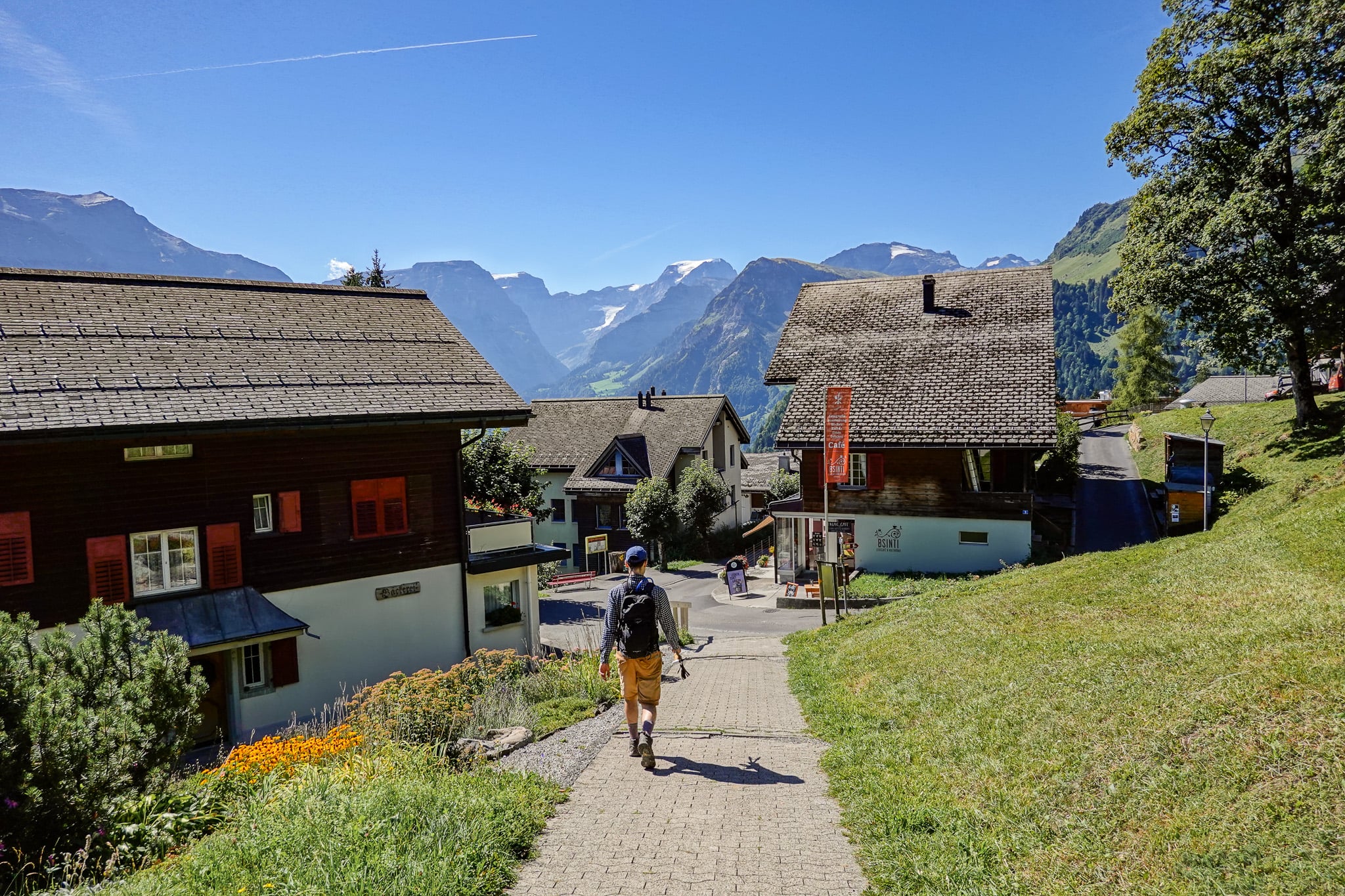
Finally, we made it to Braunwald and enjoyed a lovely meal with phenomenal views at BSINTI, Lesecafé & Kulturbar.
Afterwards, we made our way to the Braunwald funicular station. Using our Glarnerland Pass, we had free use of the funicular, which took us down to Linthal, where the car was parked.
Trail Specs For This Oberblegisee Hike
- Type: One-way
- Distance: 10.1km
- Time: 4 hours
- Accumulated elevation gain: 510m
- Accumulated elevation loss: 375m
- Trailhead: Brunnenberg
- Difficulty: Moderate
- Map: AllTrails
How to Do This Oberblegisee Hike Option
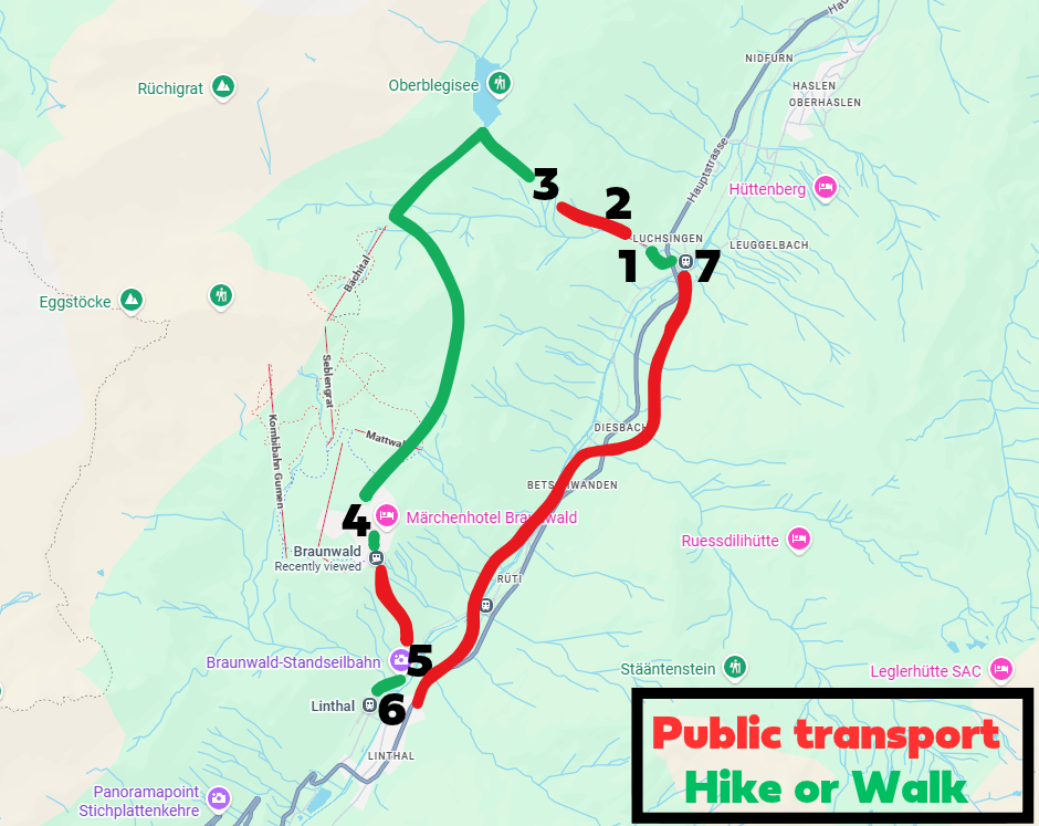
To do the Oberblegisee Hike from Brunnenberg to Braunwald, follow these simple steps. If you want to start the hike from Braunwald, simply reverse the order.
- Arrive at the Luchsingen cable car station by car or public transport
- Catch the cable car (Luftseilbahn Luchsingen – Brunnenberg) from Luchsingen to Brunnenberg
- From Brunnenberg, complete the hike to Braunwald via Oberblegisee
- After finishing the hike, walk to the Braunwald funicular station
- Catch the Braunwaldbahn (funicular) to the Linthal funicular station
- Walk (or catch the bus) to the Linthal train station. If you parked your car at the Luchsingen cable car station, take the train to the Luchsingen train station. Otherwise, use public transport to reach your starting destination.
- If you parked at the Luchsingen cable car station, walk there from the train station.
Car Hire

If you don't have your own car, you should hire one using Discover Cars. Personally, we use Discover Cars and highly recommend them for finding your ideal car hire at an affordable price. Booking online is super easy and the free cancellation policy is great.
To find out more about renting a car with Discover Cars, read our Discover Cars review and Discover Cars Insurance review.
Other Oberblegisee Hike Options
There are many different Oberblegisee hiking route options. Below, we'll cover the other most popular hikes that involve visiting Oberblegisee and briefly touch upon how to do them.
These are the other most popular routes:
- Luchsingen ↔ Braunwald via Oberblegisee
- Brunnenberg ↔ Grotzenbüel via Oberblelgisee
- Brunnenberg ↔ Gumen via Oberblegisee
Bear in mind, you can do either option in either direction. For consistency, I'll always choose the northern end of the hike as the trailhead (starting point).
Regarding the elevation profile of the walk you do, if you start at the southern end of the hike (at or near Braunwald), simply swap the accumulated elevation gain and loss from the trail specs provided below.
You'll note that by walking southward (toward Braunwald), the elevation gain is always higher than the elevation loss.
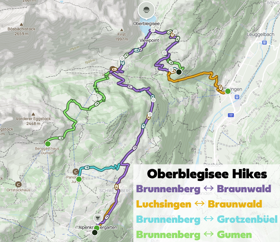
Luchsingen to Braunwald via Oberblegisee
- Type: One-way
- Distance: 11.7km
- Time: 6 hours
- Accumulated elevation gain: 1,013m
- Accumulated elevation loss: 335m
- Trailhead: Luchsingen
- Difficulty: Hard
- Map: AllTrails
This is the cheapest option, but also the hardest. The only difference is that you avoid using any cable cars. This means you either start or end your walk at Luchsingen. Essentially, you skip the cable car between Luchsingen and Brunnenberg.
Brunnenberg to Grotzenbüel via Oberblegisee
- Type: One-way
- Distance: 8.7km
- Time: 3 hours
- Accumulated elevation gain: 570m
- Accumulated elevation loss: 135m
- Trailhead: Luchsingen
- Difficulty: Moderate
- Map: AllTrails
This is the unmodified original Braunwald Oberblegisee Weg (Trail), AKA Route Number 810. Because it involves two cable cars, it's a more expensive but easier option.
Brunnenberg to Gumen via Oberblegisee
- Type: One-way
- Distance: 7.5km
- Time: 2.5 hours
- Accumulated elevation gain: 870m
- Accumulated elevation loss: 60m
- Trailhead: Brunnenberg
- Difficulty: Hard
- Map: AllTrails
Similar to the Braunwald Oberblegisee Weg (Brunnenberg ↔ Grotzenbüel via Oberblegisee), this is another expensive option as it involves two cable cars.
This option involves walking part of the Braunwald Panoramaweg (Panorama Trail) [guide coming soon]. If you plan to do this hike on another day, we don't recommend this Oberblegisee hike option. But if you're short on time and want to experience both an Oberblegisee hike and the Braunwald Panoramaweg, this is a good option.
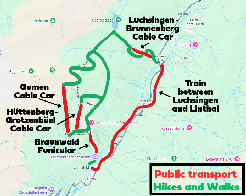
How to Do Other Oberblegisee Hikes
There are so many different hiking options and route variations for visiting Oberblegisee. The hiking option you choose will determine what (if any) public transport you'll use and the associated costs.
Without tediously covering the logistics and costs for every single hiking option discussed, the map below should give you a solid idea of what's involved.
We recommend checking out the following official websites for the most up-to-date timetables and prices.
- Trains (SBB)
- Luchsingen - Brunnenberg Cable Car
- Hüttenberg - Grotzenbüel Cable Car and Gumen Cable Car (website)
- Braunwald Funicular
Which Oberblegisee Hike Is the Best Option?
Well, it depends on what you're looking for! We think the Brunnenberg ↔ Braunwald via Oberblegisee Hike that we did is possibly the best option for two reasons.
First, it's one of the cheapest options, as you only need to pay for one cable car (Luchsingen - Brunnenberg Cable Car). This is because we had the Glarnerland Pass, which covered the costs of the Braunwald funicular.
FYI – you qualify for this pass if you stay at a commercial accommodation in the canton of Glarus for at least one night.
Of course, the cheapest option is the Luchsingen ↔ Braunwald via Oberblegisee Hike as you avoid taking any cable cars. However, it's a tedious, steep hike between Luchsingen and Brunnenberg.
That brings us to our second point: the Brunnenberg ↔ Braunwald via Oberblegisee Hike is made easier by taking the Luchsingen - Brunnenberg Cable Car. This avoids an unnecessarily difficult climb that would take time and energy.
So, despite costing more, we think this hike is a better option than Luchsingen ↔ Braunwald via Oberblegisee.
Of course, you could argue that walking in the opposite direction to what we did, to walk from Braunwald to Brunnenberg, would be an easier and perhaps even more ideal option. This is perhaps true, as this option would mean less elevation gain. But we specifically wanted to finish in Braunwald so we could have lunch there. So we were happy to do a slightly harder hike to fit our plans.
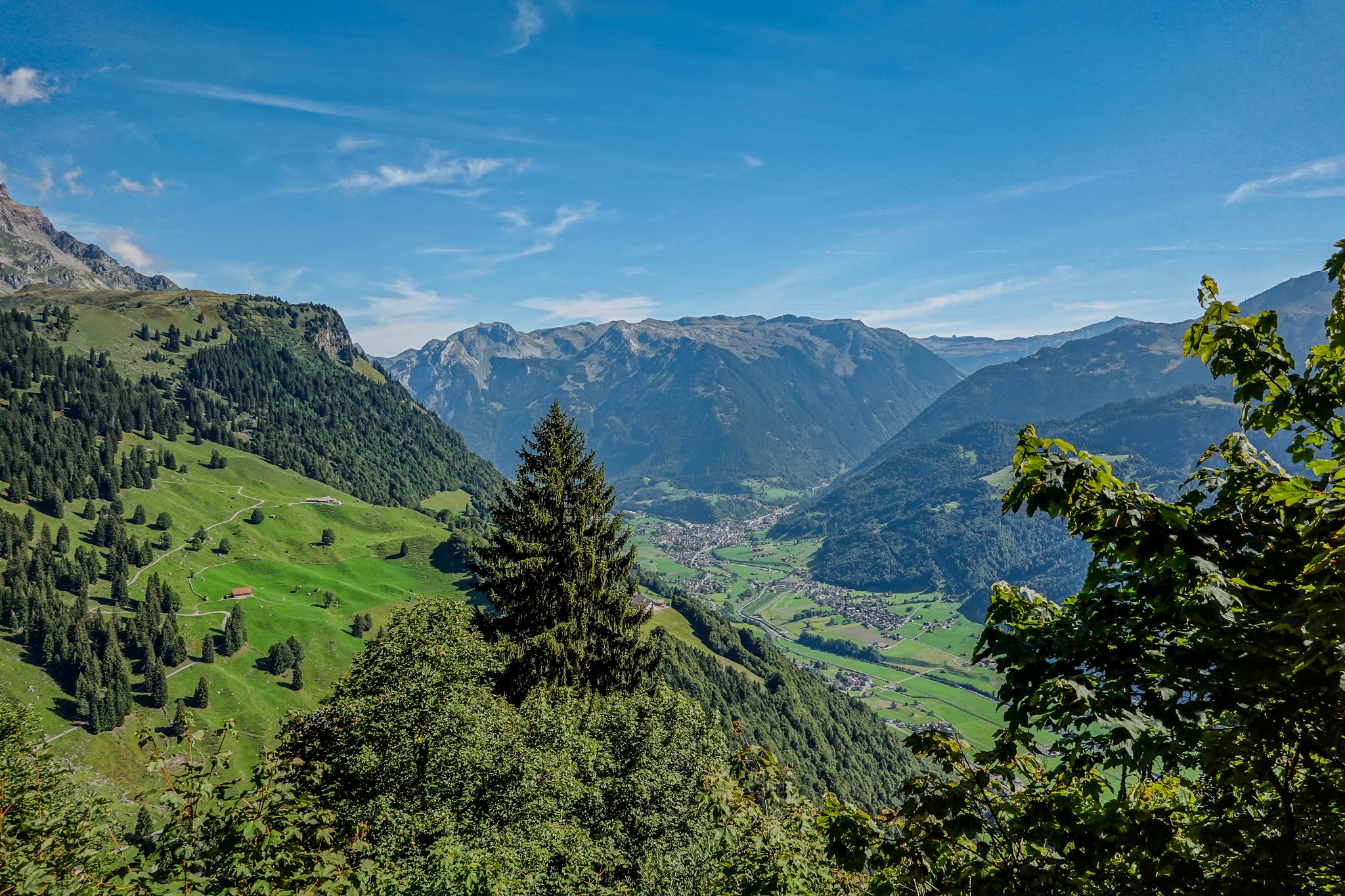
Is An Oberblegisee Hike Worth Doing?
Yes, whichever option you choose to do, it's worth visiting the stunning lake.
Where to Stay Nearby
If you're exploring Glarnerland in general, you can really stay anywhere in the canton of Glarus. Personally, we stayed in Filzbach in Glarus Nord, and can highly recommend this beautiful, quiet village.
To find the perfect place to stay in Glarus, we recommend using Booking.com.