
Roseberry Topping, also known as the Yorkshire Matterhorn, is a striking landform in Newton under Roseberry, near Middlesbrough. Taking place in the North York Moors National Park, the Roseberry Topping Walk is definitely one of the best walks in North Yorkshire.
In this guide, we’ll talk about the classic out and back Roseberry Topping trail option. But, we’ll also cover information about two other brilliant route options. For each of the three Roseberry Topping walks discussed in this guide, we’ll provide useful information about how to get there, what car parks to use as well as answer a bunch of FAQs.
Table of Contents
Roseberry Topping Walk, Middlesbrough
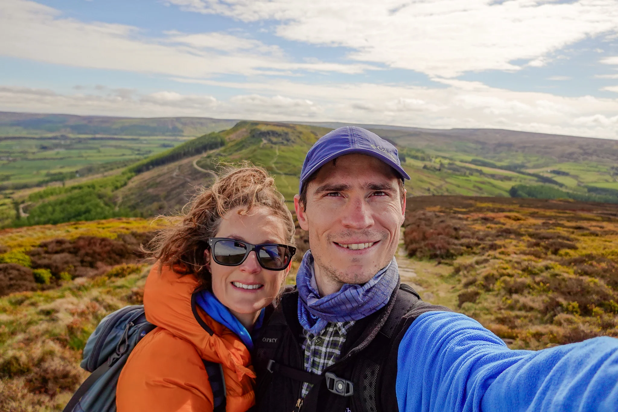
The Roseberry Topping Walk is a well-known walk near Middlesbrough. Most people will do the classic out and back walk, which is the shortest walking route. Personally, when Beck and I visited for the first time, this is the route we took. Certainly, we’ll cover this popular trail option in more detail below. This classic route option is a favourite because of its ease and convenience.
But, if you’re keen on a longer walk, there are two other brilliant walks around Roseberry Topping. The Roseberry Topping Circular Walk, which also visits Captain Cook’s Monument, is perhaps the best trail option as it visits two great attractions. Personally, this is the trail that Beck and I did during our second visit. Additionally, the Roseberry Topping and Newton Wood Walk is a great option for seeing bluebells during certain times of the year. Certainly, these two other walks are good trail options too. We’ll describe these two other walks in greater detail later in this guide.
For now, we’ll focus on the typical out and back walk. Let’s look at the trail specs and GPS-guided map for this walk.
Read about the Sutton Bank Walk, the Hole of Horcum and the Robin’s Bay to Whitby Walk
Roseberry Topping Walk Map and Stats
- Type: Out & Back
- Distance: 2.4km
- Time: 1 hour
- Accumulated elevation gain: 120m
- Difficulty: Easy
- Trailhead: Roseberry Topping Public Car Park
- Map: AllTrails
Roseberry Topping Walk Description
The classic short out and back walk is a simple and straightforward route. Sure, the climb to the summit of the Yorkshire Matterhorn is somewhat steep and physically demanding. But, overall this walk is certainly on the easier side of things. To that end, this classic walk is a great choice for the family. Let’s describe the typical Roseberry Topping Walk below.
Early Roseberry Topping Views
Starting at the Roseberry Topping Public Car Park, the walk initially follows Roseberry Lane. Right from the get-go, you’ll be able to see the breathtaking landform in the distance. This path soon leads to a gently ascending grassy area.


You’ll soon be near the base of the topping, arriving at a multi-trail terrain. Because the Yorkshire Matterhorn is a popular place to visit, many trails have been formed over time due to plentiful foot traffic. Basically, there isn’t a right or wrong path to take once you arrive at the plethora of trails leading to the summit. Just choose whichever trail you like, they all basically wind and weave their way to the peak.
In saying that though, you should notice a more defined stone trail leading to the top. That’s the trail most people take to reach the summit.


National Trust’s Roseberry Topping
Before you know it, you’ll reach the summit of National Trust’s Roseberry Topping. Expect glorious countryside views from the peak. To the north of Roseberry Topping, you’ll get a good look at the flat countryside surrounding the town of Middlesbrough. To the south and west, you’ll enjoy moorland views of the widespread North York Moors National Park. Given the popularity of this walk, expect crowds at the peak, who are also marvelling at the views.
To complete the walk, you’ll then simply retrace your steps back to the Roseberry Topping Public Car Park.


Other Roseberry Topping Walks
Other than the classic route described above, there are other Roseberry Topping walking routes to choose from. In particular, there are two other popular walking options. These other walks are solid options for those who are keen on a longer walk. Additionally, these two other trails are good for those who want to explore more of the surrounding area.
The two other walks we’ll focus on in this guide are both circular walks. The first alternate walk we’ll talk about is the Roseberry Topping Circular Walk. This walk also visits Captain Cook’s Monument. The second walk is a shorter walk, which involves exploring a nearby woodlands known as Newton Wood. Let’s start with the Roseberry Topping Circular Walk.


Roseberry Topping Circular Walk With Captain Cook’s Monument Walk
Starting at Gribdale Gate Car Park, you have two options. You can walk in an anti-clockwise direction to visit the Yorkshire Matterhorn and then Captain Cook’s Monument. Alternatively, you can walk in a clockwise direction and visit Captain Cook’s Monument and then the Yorkshire Matterhorn.
Personally, because of poor visibility, we decided to walk to Captain Cook’s Monument first. We were hoping that would allow time for the weather to improve, so we’d enjoy better views at Roseberry Topping. This strategy didn’t really pay off as the weather stayed lousy. But, it was worth a try!


If visiting Captain Cook’s Monument first, from Gribdale Gate Car Park, you’ll pick up the multi-day Cleveland Way, heading in a southerly direction. You’ll follow a slowly ascending stone trail up and through Easby Moor. Soon, you’ll arrive at Captain Cook’s Monument, which was built in commemoration of the explorer Captain James Cook.
From there, you’ll head through Ayton Banks Wood, passing Great Ayton to your left. You’ll then pass by Cliff Ridge Wood and then Newton Wood, as you approach and summit the Yorkshire Matterhorn. After reaching the peak of Roseberry Topping and enjoying the views out to Middlesbrough and the North York Moors, you’ll descend the eastern slope towards Little Roseberry. From Little Roseberry, you’ll enjoy a unique perspective of the Yorkshire Matterhorn! You’ll then veer left, making your way through Newton Moor and then back to Gribdale Gate Car Park.
On our way back to Gribdale Gate Car Park, we enjoyed some hiking through Newton Moor. Although, we were getting soaked and were admittedly keen to wrap things up!


Roseberry Topping Circular Walk With Captain Cook’s Monument Walk Overview (Map and Stats)
- Type: Loop
- Distance: 8km
- Time: 2.5–3 hours
- Accumulated elevation gain: 365m
- Difficulty: Moderate
- Trailhead: Gribdale Gate Car Park
- Map: Wikiloc
Roseberry Topping and Newton Wood Walk
This walk is the third trail option that we’ll cover in-depth in this guide. Admittedly, this walk is probably the least popular route. That’s because most people will simply want to do the classic out and back route. Otherwise, those keen on a longer walk will opt for the circular walk involving Captain Cook’s Monument.
The main drawcard for this walk is the chance to explore woodlands flowering with beautiful bluebells. With that said, this walk is best to do in April or May, when bluebells are flowering. Certainly, there’s something truly spectacular about seeing the lands surrounding the base of the Yorkshire Matterhorn, covered in a bluebell blanket! Otherwise, we wouldn’t necessarily recommend this walking option outside of the time when bluebells are flowering.
Roseberry Topping and Newton Wood Walk Overview (Map and Stats)
- Type: Loop
- Distance: 4.2km
- Time: 1.5 hours
- Accumulated elevation gain: 170m
- Difficulty: Easy
- Trailhead: Roseberry Topping Public Car Park
- Map: AllTrails
How to Get There
The easiest and quickest way to be able to access Roseberry Topping, near Middlesbrough, is to drive to a car park yourself. If you don’t have your own set of wheels, we recommend hiring a car.
Car Hire


If you don’t have your own car, you should hire one using Discover Cars. Personally, we use Discover Cars and highly recommend them for finding your ideal car hire at an affordable price. Booking online is super easy and the free cancellation policy is great.
To find out more about renting a car with Discover Cars, read our Discover Cars review and Discover Cars Insurance review.
It’s also possible to use public transport to access these walks. From Middlesbrough, catch the 28A bus directly to Great Ayton. From Great Ayton, you can walk towards Newton under Roseberry. Along the way, you can join the classic out and back route trail to the Yorkshire Matterhorn. You could also continue from the Yorkshire Matterhorn to do the circular walk or Newton Wood Walk. Head here to plan your journey by bus.
Roseberry Topping Car Park
The Roseberry Topping Car Park is the best place to park. Indeed, this would be your preferred car park for the classic out and back walk as well as the Roseberry Topping and Newton Wood Walk.
For the Roseberry Topping Circular Walk, you’ll want to park at the Gribdale Gate Car Park.
Roseberry Topping Post Code
For your reference, the Yorkshire Matterhorn is located in the TS9 postcode. Of more use, the Roseberry Topping Public Car park post code is TS9 6QR.
Roseberry Topping Weather
It’s best to check the weather forecast before heading out to do these walks. The MetOffice actually do a weather forecast for the Roseberry Topping – check it out here. Personally, we’ve walked to the Yorkshire Matterhorn during good and poor weather conditions. Honestly speaking, you’ll have a much more enjoyable experience with good visibility and weather. That’ll mean better views atop the summit!
FAQs
Below, we’ve answered the most frequently asked questions about Roseberry Topping, near Middlesbrough.
Where Is Roseberry Topping?
It’s in Newton under Roseberry in the North York Moors National Park in North Yorkshire, near Middlesborough.
What Is the Height of Roseberry Topping?
‘How high is Roseberry Topping?’ is the question we’re asked the most. The Roseberry Topping height is 322 metres above sea level.
How Long Does Roseberry Topping Take to Walk?
Well, it depends on which walk you choose to do. The classic Roseberry Topping walk distance is an approx. 2.4km out and back route.
Is Roseberry Topping A Difficult Walk?
The classic route option is simple and straightforward with a moderately physically demanding steep climb to the peak. On the other hand, the circular walk, involving Captain Cook’s Monument, is more challenging as it’s longer and requires more trail navigation skills.
How Many Steps Is Roseberry Topping?
It’s been roughly calculated that the classic out and back walk works out to involve 4,000 steps. By doing this walk, you won’t quite reach your 10,000 steps for the day!
Where Do You Park to Climb Roseberry Topping?
Head to the car park section for more information.
North York Moors Blog Posts

Use our blog posts to help you discover the best walks and waterfalls in the North York Moors. Not sure where to start? Read our Best Waterfalls and Best Walks guides.
Hiking Essentials
These are some of our hiking gear essentials for this walk.
Osprey Skarab 30


The Osprey Skarab 30 is our go-to hiking backpack for day hikes. This well-designed unisex backpack is comfortable and spacious, so you’ll have plenty of space to pack everything without feeling the strain on your upper back.
Osprey Ultralight Raincover


A waterproof backpack cover is an absolute must when you’re adventuring outdoors. The Osprey Ultralight Raincover Medium is a high-quality waterproof cover that’ll keep your backpack bone dry.
GRAYL Reusable Water Bottle


The GRAYL GeoPress is the best water filter bottle that allows you to purify 710mL (12 ounces) of water. This bottle will make water safe to drink wherever you’re hiking.
BUFF Original Ecostretch


The BUFF Original Ecostretch is a great option when it comes to multifunctional headwear. We use the Ecostretch as a neck gaiter to keep the sun off our necks and it helps us keep warm in cooler climates.
Sony Cybershot RX100 VII


Capture epic photos and videos with the Sony Cybershot RX100 VII. This is hands-down the best compact camera. We love using this simple point-and-shoot camera when we’re hiking as it’s lightweight and durable.
To find out more about all of the gear that we use and recommend, read our guides about our favourite hiking gear, travel gear and camera gear. Otherwise, read our comprehensive travel packing checklist.
Bonus Tips
- Where to stay: The Kings Head Inn is a great place to stay at the foot of the Yorkshire Matterhorn in Great Ayton. It’s also a great place for a drink after the walk.
- Official map: for grid references and extra details, you could buy the OS Explorer Leisure – OL26 North York Moors map.
- Explore other national parks in and near Yorkshire: don’t just stop at the North York Moors. Head to the beautiful Lake District and Yorkshire Dales National Parks.


Please leave us a comment below – we’d love to hear from you.
Leave a comment